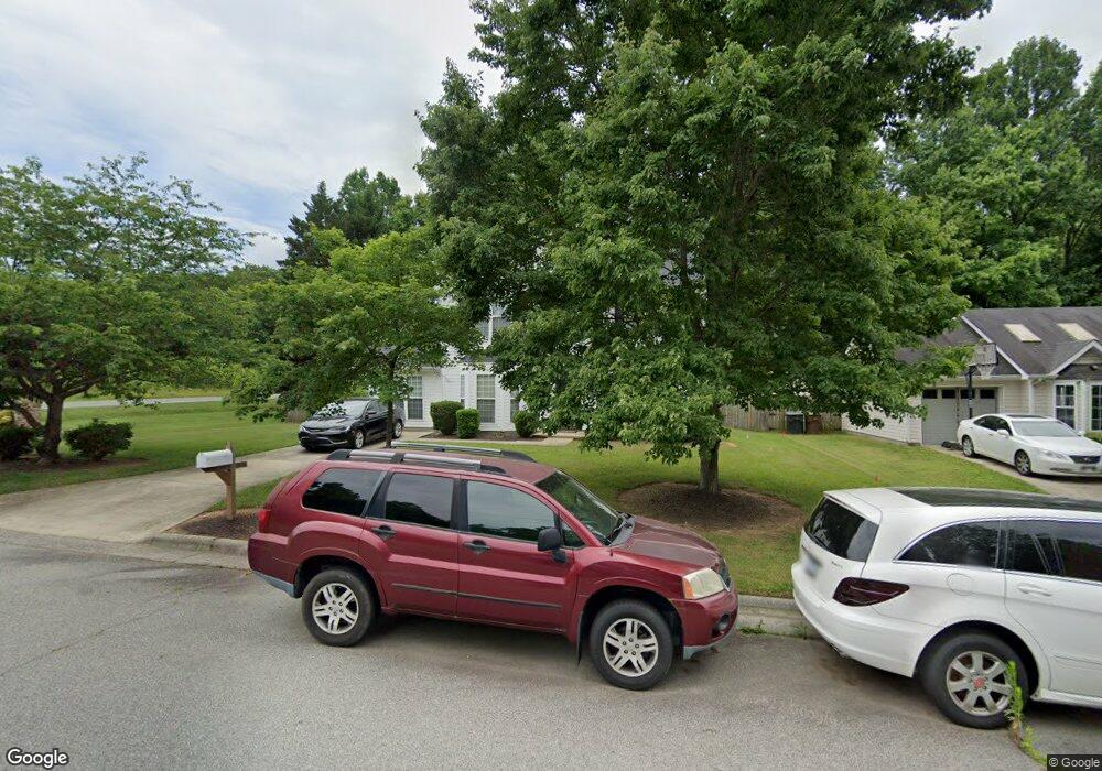
521 Foxridge Rd Greensboro, NC 27406
Polecat Creek NeighborhoodEstimated Value: $284,000 - $299,000
3
Beds
3
Baths
1,597
Sq Ft
$182/Sq Ft
Est. Value
About This Home
This home is located at 521 Foxridge Rd, Greensboro, NC 27406 and is currently estimated at $290,469, approximately $181 per square foot. 521 Foxridge Rd is a home located in Guilford County with nearby schools including Sumner Elementary School, Southern Guilford Middle, and Southern Guilford High School.
Ownership History
Date
Name
Owned For
Owner Type
Purchase Details
Closed on
Jan 1, 2000
Bought by
Camp Nancy S
Current Estimated Value
Purchase Details
Closed on
Sep 25, 1998
Sold by
D R Horton Inc Greensboro
Bought by
Camp Nancy S
Home Financials for this Owner
Home Financials are based on the most recent Mortgage that was taken out on this home.
Original Mortgage
$123,364
Interest Rate
6.92%
Mortgage Type
FHA
Create a Home Valuation Report for This Property
The Home Valuation Report is an in-depth analysis detailing your home's value as well as a comparison with similar homes in the area
Home Values in the Area
Average Home Value in this Area
Purchase History
| Date | Buyer | Sale Price | Title Company |
|---|---|---|---|
| Camp Nancy S | -- | -- | |
| Camp Nancy S | -- | -- |
Source: Public Records
Mortgage History
| Date | Status | Borrower | Loan Amount |
|---|---|---|---|
| Previous Owner | Camp Nancy S | $123,364 |
Source: Public Records
Tax History Compared to Growth
Tax History
| Year | Tax Paid | Tax Assessment Tax Assessment Total Assessment is a certain percentage of the fair market value that is determined by local assessors to be the total taxable value of land and additions on the property. | Land | Improvement |
|---|---|---|---|---|
| 2025 | $2,680 | $191,000 | $57,000 | $134,000 |
| 2024 | $2,680 | $191,000 | $57,000 | $134,000 |
| 2023 | $2,680 | $191,000 | $57,000 | $134,000 |
| 2022 | $2,603 | $191,000 | $57,000 | $134,000 |
| 2021 | $1,626 | $116,700 | $20,000 | $96,700 |
| 2020 | $1,626 | $116,700 | $20,000 | $96,700 |
| 2019 | $1,626 | $116,700 | $0 | $0 |
| 2018 | $1,579 | $116,700 | $0 | $0 |
| 2017 | $1,579 | $116,700 | $0 | $0 |
| 2016 | $1,538 | $111,100 | $0 | $0 |
| 2015 | $1,547 | $111,100 | $0 | $0 |
| 2014 | $1,558 | $111,100 | $0 | $0 |
Source: Public Records
Map
Nearby Homes
- 528 Foxridge Rd
- 4404 Tyndale Ct
- 4908 Peppercorn Ln
- 1902 Penley Trail
- 509 Ritters Lake Rd
- 1908 Penley Trail
- 1910 Penley Trail
- 1912 Penley Trail
- 1914 Penley Trail
- 1916 Penley Trail
- 1918 Penley Trail
- Freeport Plan at Avondale
- Ellerbe Plan at Avondale
- Dayton Plan at Avondale
- Vermont Plan at Avondale
- Irvine Plan at Avondale
- Burlington Plan at Avondale
- Southport Plan at Avondale
- Greensboro Plan at Avondale
- Jamestown Plan at Avondale
- 523 Foxridge Rd
- 3804 Randleman Rd
- 525 Foxridge Rd
- 527 Foxridge Rd
- 3806 Randleman Rd
- 3718 Randleman Rd
- 529 Foxridge Rd
- 530 Foxridge Rd
- 3810 Randleman Rd
- 531 Foxridge Rd
- 4715 Meadowcroft Rd
- 4713 Meadowcroft Rd
- 533 Foxridge Rd
- 3812 Randleman Rd
- 3715 Randleman Rd
- 4711 Meadowcroft Rd
- 4716 Meadowcroft Rd
- 621 Foxridge Rd
- 4714 Meadowcroft Rd
- 4709 Meadowcroft Rd