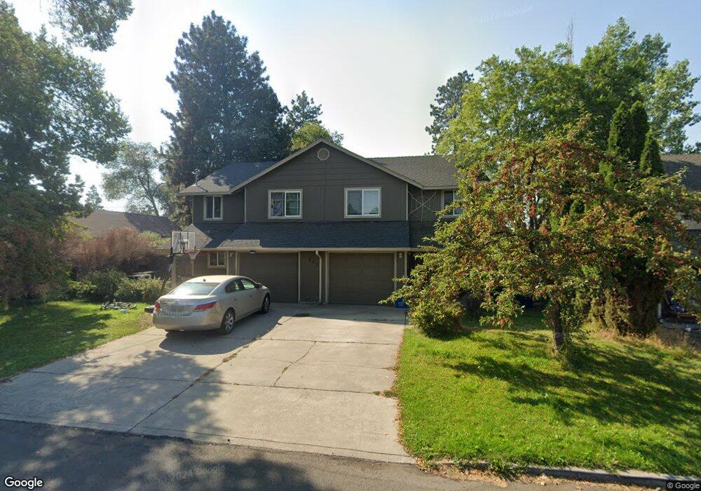
521 NE Burnside Ave Bend, OR 97701
Larkspur NeighborhoodEstimated Value: $744,000 - $925,510
6
Beds
6
Baths
2,577
Sq Ft
$316/Sq Ft
Est. Value
About This Home
This home is located at 521 NE Burnside Ave, Bend, OR 97701 and is currently estimated at $814,378, approximately $316 per square foot. 521 NE Burnside Ave is a home located in Deschutes County with nearby schools including Juniper Elementary School, Bend Senior High School, and Deschutes River Montessori School.
Ownership History
Date
Name
Owned For
Owner Type
Purchase Details
Closed on
Dec 22, 2011
Sold by
Sporck Valerie M K
Bought by
Mk Properties I Llc
Current Estimated Value
Purchase Details
Closed on
Aug 12, 2009
Sold by
Sporck Valerie M K
Bought by
Sporck Valerie M K and Valerie M K Sporck Revocable Trust
Purchase Details
Closed on
Jul 22, 2008
Sold by
Sporck Christian E and Sporck Valerie M K
Bought by
Sporck Valerie M K
Purchase Details
Closed on
Jun 29, 2006
Sold by
Bernhardt Thomas E
Bought by
Sporck Christian E and Sporck Valerie M K
Create a Home Valuation Report for This Property
The Home Valuation Report is an in-depth analysis detailing your home's value as well as a comparison with similar homes in the area
Home Values in the Area
Average Home Value in this Area
Purchase History
| Date | Buyer | Sale Price | Title Company |
|---|---|---|---|
| Mk Properties I Llc | -- | None Available | |
| Sporck Valerie M K | -- | None Available | |
| Sporck Valerie M K | -- | None Available | |
| Sporck Christian E | -- | Amerititle |
Source: Public Records
Tax History Compared to Growth
Tax History
| Year | Tax Paid | Tax Assessment Tax Assessment Total Assessment is a certain percentage of the fair market value that is determined by local assessors to be the total taxable value of land and additions on the property. | Land | Improvement |
|---|---|---|---|---|
| 2025 | $5,711 | $338,030 | -- | -- |
| 2024 | $5,495 | $328,190 | -- | -- |
| 2023 | $5,094 | $318,640 | $0 | $0 |
| 2022 | $4,753 | $300,350 | $0 | $0 |
| 2021 | $4,760 | $291,610 | $0 | $0 |
| 2020 | $4,516 | $291,610 | $0 | $0 |
| 2019 | $4,390 | $283,120 | $0 | $0 |
| 2018 | $4,266 | $274,880 | $0 | $0 |
| 2017 | $4,141 | $266,880 | $0 | $0 |
| 2016 | $3,949 | $259,110 | $0 | $0 |
| 2015 | $3,840 | $251,570 | $0 | $0 |
| 2014 | $3,727 | $244,250 | $0 | $0 |
Source: Public Records
Map
Nearby Homes
- 438 NE 9th St
- 322 SE 5th St
- 608 NE 10th St
- 429 NE Irving Ave
- 845 NE 8th St
- 106 NW Colorado Ave
- 114 NW Delaware Ave
- 688 SE Centennial St
- 501 SE Wilson Ave
- 530 SE 3rd St
- 649 NE Kearney Ave
- 111 NW Hawthorne Ave Unit 1
- 828 NW Hill St
- 477 SE Roosevelt Ave
- 623 SE Roosevelt Ave
- 314 NW Georgia Ave
- 643 NE Marshall Ave
- 195 SE Roosevelt Ave
- 645 NE Marshall Ave
- 274 SW Bluff Dr
- 521 NE Burnside Ave Unit 1
- 537 NE Burnside Ave
- 505 NE Burnside Ave
- 150 NE 5th St
- 526 NE Burnside Ave
- 204 NE 5th St Unit ID1247402P
- 204 NE 5th St
- 532 NE Burnside Ave
- 534 NE Burnside Ave
- 216 NE 5th St
- 478 NE Burnside Ave
- 230 NE 5th St
- 455 NE Burnside Ave
- 468 NE Alden Ave
- 110 NE 6th St
- 242 NE 5th St
- 130 NE 6th St
- 450 NE Burnside Ave
- 529 NE Clay Ave
- 549 NE Clay Ave