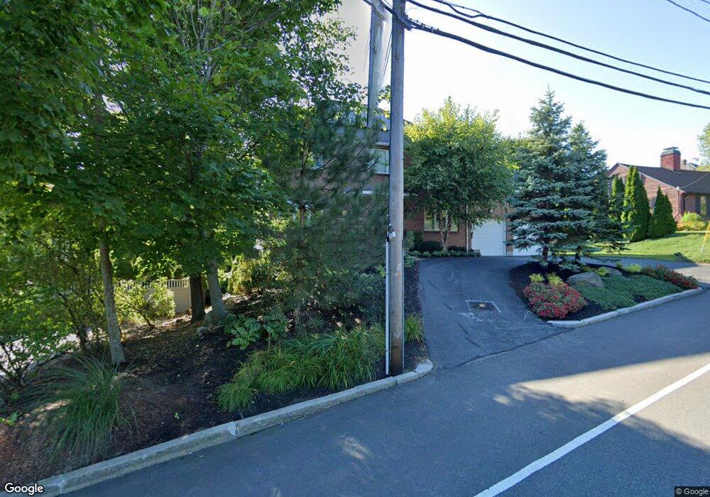
521 Salisbury St Worcester, MA 01609
Salisbury Street NeighborhoodEstimated Value: $749,000 - $844,000
4
Beds
3
Baths
2,650
Sq Ft
$301/Sq Ft
Est. Value
About This Home
This home is located at 521 Salisbury St, Worcester, MA 01609 and is currently estimated at $796,824, approximately $300 per square foot. 521 Salisbury St is a home located in Worcester County with nearby schools including Chandler Magnet, Jacob Hiatt Magnet School, and Flagg Street School.
Ownership History
Date
Name
Owned For
Owner Type
Purchase Details
Closed on
Mar 5, 2004
Sold by
Chacharone James
Bought by
Hofri Ellen S and Hofri Micha
Current Estimated Value
Home Financials for this Owner
Home Financials are based on the most recent Mortgage that was taken out on this home.
Original Mortgage
$322,700
Outstanding Balance
$150,287
Interest Rate
5.62%
Mortgage Type
Purchase Money Mortgage
Estimated Equity
$646,537
Create a Home Valuation Report for This Property
The Home Valuation Report is an in-depth analysis detailing your home's value as well as a comparison with similar homes in the area
Home Values in the Area
Average Home Value in this Area
Purchase History
| Date | Buyer | Sale Price | Title Company |
|---|---|---|---|
| Hofri Ellen S | $440,300 | -- |
Source: Public Records
Mortgage History
| Date | Status | Borrower | Loan Amount |
|---|---|---|---|
| Open | Hofri Ellen S | $322,700 |
Source: Public Records
Tax History Compared to Growth
Tax History
| Year | Tax Paid | Tax Assessment Tax Assessment Total Assessment is a certain percentage of the fair market value that is determined by local assessors to be the total taxable value of land and additions on the property. | Land | Improvement |
|---|---|---|---|---|
| 2025 | $8,836 | $669,900 | $126,200 | $543,700 |
| 2024 | $8,667 | $630,300 | $126,200 | $504,100 |
| 2023 | $8,359 | $582,900 | $107,600 | $475,300 |
| 2022 | $7,871 | $517,500 | $86,100 | $431,400 |
| 2021 | $7,865 | $483,100 | $68,900 | $414,200 |
| 2020 | $7,625 | $448,500 | $68,600 | $379,900 |
| 2019 | $7,781 | $432,300 | $68,700 | $363,600 |
| 2018 | $7,687 | $406,500 | $68,700 | $337,800 |
| 2017 | $7,663 | $398,700 | $68,700 | $330,000 |
| 2016 | $7,988 | $387,600 | $58,400 | $329,200 |
| 2015 | $7,779 | $387,600 | $58,400 | $329,200 |
| 2014 | $7,574 | $387,600 | $58,400 | $329,200 |
Source: Public Records
Map
Nearby Homes
- 493 Salisbury St
- 9 Dennison Rd
- 477 Salisbury St
- 3 Old English Rd
- 32 Aylesbury Rd
- 7 Old Brook Dr
- 33 Aylesbury Rd
- 21 Baiting Brook Ln Unit 60
- 2 Baiting Brook Ln Unit 71
- 8 Old Colony Rd
- 617 Salisbury St
- 40 Westwood Dr
- 17 Orrison St
- 3 Lynnwood Ln
- 137 Richmond Ave
- 22 Audubon Rd
- 5 Forest Hill Dr
- 577 Grove St
- 42 Ellis Dr
- 90 Lynnwood Ln
- 525 Salisbury St
- 515 Salisbury St
- 509 Salisbury St
- 505 Salisbury St
- 12 Meadowbrook Rd
- 19 Dennison Rd
- 15 Meadowbrook Rd
- 0 Meadow Brook Unit 71569792
- 17 Dennison Rd
- 13 Meadowbrook Rd
- 20 Dennison Rd
- 38 Oak Hill Rd
- 15 Dennison Rd
- 6 Meadowbrook Rd
- 555 Salisbury St
- 16 Dennison Rd
- 10 Flower Hill Dr
- 10 Flower Hill Dr
- 10 Flower Hill Dr Unit 1
- 10 Flower Hill Dr Unit A