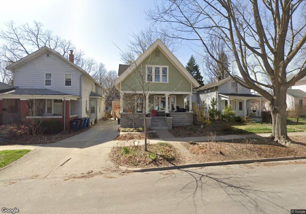
522 2nd St Ann Arbor, MI 48103
Old West Side NeighborhoodEstimated Value: $794,305 - $1,074,000
4
Beds
3
Baths
2,063
Sq Ft
$453/Sq Ft
Est. Value
About This Home
This home is located at 522 2nd St, Ann Arbor, MI 48103 and is currently estimated at $934,576, approximately $453 per square foot. 522 2nd St is a home located in Washtenaw County with nearby schools including Bach Elementary School, Slauson Middle School, and Pioneer High School.
Ownership History
Date
Name
Owned For
Owner Type
Purchase Details
Closed on
Dec 8, 2011
Sold by
Prawdzik Peter and Prawdzik Antoinette M
Bought by
Richardson John E and Wilson Tobin Emily
Current Estimated Value
Home Financials for this Owner
Home Financials are based on the most recent Mortgage that was taken out on this home.
Original Mortgage
$320,000
Outstanding Balance
$219,950
Interest Rate
4.11%
Mortgage Type
New Conventional
Estimated Equity
$714,626
Purchase Details
Closed on
Apr 5, 2002
Sold by
Prawdzik Peter
Bought by
Prawdzik Antoinette M Trust
Create a Home Valuation Report for This Property
The Home Valuation Report is an in-depth analysis detailing your home's value as well as a comparison with similar homes in the area
Home Values in the Area
Average Home Value in this Area
Purchase History
| Date | Buyer | Sale Price | Title Company |
|---|---|---|---|
| Richardson John E | $400,000 | Capital Title Ins Agency | |
| Prawdzik Antoinette M Trust | -- | -- |
Source: Public Records
Mortgage History
| Date | Status | Borrower | Loan Amount |
|---|---|---|---|
| Open | Richardson John E | $320,000 |
Source: Public Records
Tax History
| Year | Tax Paid | Tax Assessment Tax Assessment Total Assessment is a certain percentage of the fair market value that is determined by local assessors to be the total taxable value of land and additions on the property. | Land | Improvement |
|---|---|---|---|---|
| 2025 | $11,971 | $356,100 | $0 | $0 |
| 2024 | $10,353 | $309,100 | $0 | $0 |
| 2023 | $9,546 | $278,800 | $0 | $0 |
| 2022 | $10,403 | $277,200 | $0 | $0 |
| 2021 | $9,984 | $262,900 | $0 | $0 |
| 2020 | $9,782 | $254,700 | $0 | $0 |
| 2019 | $9,309 | $250,300 | $250,300 | $0 |
| 2018 | $9,178 | $236,300 | $0 | $0 |
| 2017 | $8,928 | $240,300 | $0 | $0 |
| 2016 | $8,614 | $178,537 | $0 | $0 |
| 2015 | $8,203 | $178,003 | $0 | $0 |
| 2014 | $8,203 | $172,441 | $0 | $0 |
| 2013 | -- | $172,441 | $0 | $0 |
Source: Public Records
Map
Nearby Homes
- 220 W Mosley St
- 632 S Ashley St
- 636 S Ashley St
- 441 S Ashley St Unit 405
- 140 Ashley Mews Dr Unit 27
- 421 S Ashley St Unit 35
- 430 S Main St
- 814 W Jefferson St
- 414 S Main St Unit 10
- 717 W Liberty St
- 404 W Liberty St
- 919 5th St
- 307 Mulholland Ave
- 101 W Liberty St Unit 310
- 1002 W Liberty St
- 912 Hutchins Ave
- 721 W Washington St
- 111 N Ashley St Unit 513
- 322 E Liberty St Unit 19
- 322 E Liberty St Unit 16 & 17
Your Personal Tour Guide
Ask me questions while you tour the home.