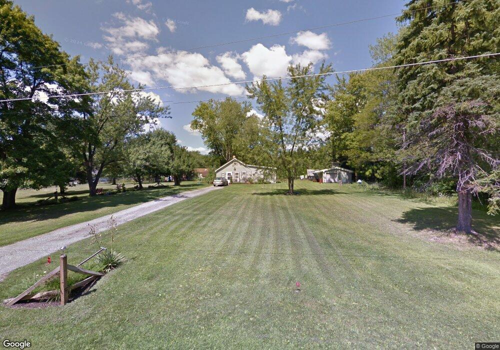
522 King Ave Youngstown, OH 44514
Estimated Value: $114,856 - $183,000
1
Bed
1
Bath
944
Sq Ft
$151/Sq Ft
Est. Value
About This Home
This home is located at 522 King Ave, Youngstown, OH 44514 and is currently estimated at $142,714, approximately $151 per square foot. 522 King Ave is a home located in Mahoning County with nearby schools including Stadium Drive Elementary School, Boardman Glenwood Junior High School, and Boardman High School.
Ownership History
Date
Name
Owned For
Owner Type
Purchase Details
Closed on
May 26, 2006
Sold by
Estate Of Dwayne Whitefield
Bought by
Adams Alberta and Heater Jean
Current Estimated Value
Purchase Details
Closed on
Jun 30, 2004
Sold by
Sabolia Donna
Bought by
Whitfield Dwayne and Adams Alberta
Purchase Details
Closed on
Feb 25, 1991
Bought by
Sabolia Donna L
Create a Home Valuation Report for This Property
The Home Valuation Report is an in-depth analysis detailing your home's value as well as a comparison with similar homes in the area
Purchase History
| Date | Buyer | Sale Price | Title Company |
|---|---|---|---|
| Adams Alberta | -- | None Available | |
| Whitfield Dwayne | -- | -- | |
| Sabolia Donna L | -- | -- |
Source: Public Records
Tax History
| Year | Tax Paid | Tax Assessment Tax Assessment Total Assessment is a certain percentage of the fair market value that is determined by local assessors to be the total taxable value of land and additions on the property. | Land | Improvement |
|---|---|---|---|---|
| 2025 | $1,145 | $22,250 | $3,900 | $18,350 |
| 2024 | $1,147 | $22,250 | $3,900 | $18,350 |
| 2023 | $1,132 | $22,250 | $3,900 | $18,350 |
| 2022 | $871 | $13,390 | $3,870 | $9,520 |
| 2021 | $298 | $13,390 | $3,870 | $9,520 |
| 2020 | $299 | $13,390 | $3,870 | $9,520 |
| 2019 | $237 | $12,180 | $3,520 | $8,660 |
| 2018 | $212 | $12,180 | $3,520 | $8,660 |
| 2017 | $209 | $12,180 | $3,520 | $8,660 |
| 2016 | $222 | $12,340 | $2,900 | $9,440 |
| 2015 | $217 | $12,340 | $2,900 | $9,440 |
| 2014 | $218 | $12,340 | $2,900 | $9,440 |
| 2013 | $216 | $12,340 | $2,900 | $9,440 |
Source: Public Records
Map
Nearby Homes
- 0 W Harvard Blvd
- 0 Harvard Rd Unit 5038029
- 601 E Western Reserve Rd Unit 1401
- 601 E Western Reserve Rd Unit 701
- 363 Maple Dr
- 331 Warren Ave
- 695 E Western Reserve Rd Unit 1903
- 9140 Woodworth Rd
- 42 E Western Reserve Rd
- 62 E Western Reserve Rd Unit 3
- 717 Calla Rd E
- 1275 E Western Reserve Rd
- 1008 E Calla Rd
- 50 Carter Cir
- 828 Woodfield Ct Unit A
- 9264 Sharrott Rd Unit 1001
- 9264 Sharrott Rd Unit 104
- Rosewood Plan at Courtyards at Stonegate
- 0 Sharrott Rd Unit 5174987
- 0 Eaton Unit 5149277
Your Personal Tour Guide
Ask me questions while you tour the home.