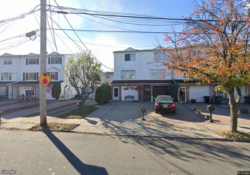
522 Liberty Ave Staten Island, NY 10305
Ocean Breeze NeighborhoodEstimated Value: $702,245 - $858,000
3
Beds
3
Baths
1,825
Sq Ft
$435/Sq Ft
Est. Value
About This Home
This home is located at 522 Liberty Ave, Staten Island, NY 10305 and is currently estimated at $793,061, approximately $434 per square foot. 522 Liberty Ave is a home located in Richmond County with nearby schools including P.S. 052 John C. Thompson, Is 2 George L Egbert, and New Dorp High School.
Ownership History
Date
Name
Owned For
Owner Type
Purchase Details
Closed on
Apr 6, 2001
Sold by
Portman Leonid and Portman Yelena
Bought by
Karney Helen
Current Estimated Value
Home Financials for this Owner
Home Financials are based on the most recent Mortgage that was taken out on this home.
Original Mortgage
$206,400
Outstanding Balance
$75,294
Interest Rate
6.88%
Estimated Equity
$717,767
Purchase Details
Closed on
Feb 22, 1995
Sold by
Varriano Frank and Varriano Madeline
Bought by
Portman Leonid and Portman Yelena
Home Financials for this Owner
Home Financials are based on the most recent Mortgage that was taken out on this home.
Original Mortgage
$115,000
Interest Rate
8.12%
Create a Home Valuation Report for This Property
The Home Valuation Report is an in-depth analysis detailing your home's value as well as a comparison with similar homes in the area
Home Values in the Area
Average Home Value in this Area
Purchase History
| Date | Buyer | Sale Price | Title Company |
|---|---|---|---|
| Karney Helen | $258,000 | -- | |
| Portman Leonid | $15,350,000 | First American Title Ins Co |
Source: Public Records
Mortgage History
| Date | Status | Borrower | Loan Amount |
|---|---|---|---|
| Open | Karney Helen | $206,400 | |
| Previous Owner | Portman Leonid | $115,000 |
Source: Public Records
Tax History Compared to Growth
Tax History
| Year | Tax Paid | Tax Assessment Tax Assessment Total Assessment is a certain percentage of the fair market value that is determined by local assessors to be the total taxable value of land and additions on the property. | Land | Improvement |
|---|---|---|---|---|
| 2025 | $5,523 | $43,560 | $5,775 | $37,785 |
| 2024 | $5,535 | $40,560 | $6,156 | $34,404 |
| 2023 | $5,252 | $27,262 | $5,561 | $21,701 |
| 2022 | $4,847 | $38,400 | $8,640 | $29,760 |
| 2021 | $4,803 | $31,800 | $8,640 | $23,160 |
| 2020 | $4,840 | $35,100 | $8,640 | $26,460 |
| 2019 | $4,745 | $32,700 | $8,640 | $24,060 |
| 2018 | $4,333 | $22,718 | $6,663 | $16,055 |
| 2017 | $4,069 | $21,433 | $7,144 | $14,289 |
| 2016 | $3,732 | $20,220 | $8,640 | $11,580 |
| 2015 | $3,714 | $20,940 | $7,200 | $13,740 |
| 2014 | $3,714 | $20,940 | $7,200 | $13,740 |
Source: Public Records
Map
Nearby Homes
- 519 Buel Ave
- 517 Buel Ave
- 521 Buel Ave
- 473 Dongan Hills Ave
- 467 Dongan Hills Ave
- 498 Dongan Hills Ave
- 568 Dongan Hills Ave Unit 19A1
- 197 Slater Blvd
- 431 Patterson Ave
- 602 Seaview Ave
- 0 Seaview Ave
- 365 Liberty Ave
- 424 Cromwell Ave
- 422 Cromwell Ave
- 491 Mason Ave
- 459 Seaver Ave
- 343 Liberty Ave
- 0 Dongan Hills Ave
- 362 Garretson Ave
- 311 Buel Ave
- 520 Liberty Ave
- 526 Liberty Ave
- 518 Liberty Ave
- 528 Liberty Ave
- 516 Liberty Ave
- 530 Liberty Ave
- 514 Liberty Ave
- 532 Liberty Ave
- 512 Liberty Ave
- 534 Liberty Ave
- 510 Liberty Ave
- 536 Liberty Ave
- 508 Liberty Ave
- 535 Buel Ave
- 533 Buel Ave
- 533 Buel Ave
- 533 Buel Ave
- 533 Buel Ave Unit 1
- 538 Liberty Ave
- 537 Buel Ave