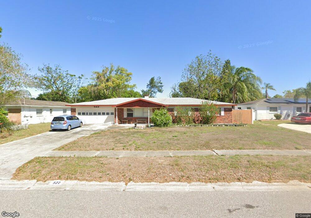
522 S Larry Cir Brandon, FL 33511
Estimated Value: $359,338 - $405,000
4
Beds
2
Baths
1,705
Sq Ft
$218/Sq Ft
Est. Value
About This Home
This home is located at 522 S Larry Cir, Brandon, FL 33511 and is currently estimated at $372,085, approximately $218 per square foot. 522 S Larry Cir is a home located in Hillsborough County with nearby schools including Brooker Elementary School, Burns Middle School, and Bloomingdale High School.
Ownership History
Date
Name
Owned For
Owner Type
Purchase Details
Closed on
Aug 26, 2024
Sold by
Michael Sweet And Shellie Sweet Living T and Sweet Shellie
Bought by
Shellie Sweet Living Trust and Sweet
Current Estimated Value
Purchase Details
Closed on
Jul 9, 2019
Sold by
Sweet Michael D and Sweet Shellie J
Bought by
Sweet Michael and Sweet Shellie
Purchase Details
Closed on
Mar 3, 2004
Sold by
Nimmo Merris P
Bought by
Sweet Michael D and Sweet Shellie J
Create a Home Valuation Report for This Property
The Home Valuation Report is an in-depth analysis detailing your home's value as well as a comparison with similar homes in the area
Home Values in the Area
Average Home Value in this Area
Purchase History
| Date | Buyer | Sale Price | Title Company |
|---|---|---|---|
| Shellie Sweet Living Trust | -- | None Listed On Document | |
| Sweet Michael | -- | Attorney | |
| Sweet Michael D | $125,500 | Southern Title Holding Co Ll |
Source: Public Records
Tax History Compared to Growth
Tax History
| Year | Tax Paid | Tax Assessment Tax Assessment Total Assessment is a certain percentage of the fair market value that is determined by local assessors to be the total taxable value of land and additions on the property. | Land | Improvement |
|---|---|---|---|---|
| 2024 | $3,925 | $236,081 | -- | -- |
| 2023 | $3,775 | $229,205 | $69,171 | $160,034 |
| 2022 | $3,962 | $243,703 | $69,171 | $174,532 |
| 2021 | $3,786 | $194,000 | $57,643 | $136,357 |
| 2020 | $3,389 | $167,590 | $46,114 | $121,476 |
| 2019 | $2,984 | $162,421 | $46,114 | $116,307 |
| 2018 | $2,733 | $145,545 | $0 | $0 |
| 2017 | $2,474 | $123,698 | $0 | $0 |
| 2016 | $2,277 | $104,227 | $0 | $0 |
| 2015 | $2,155 | $94,752 | $0 | $0 |
| 2014 | $2,004 | $86,138 | $0 | $0 |
| 2013 | -- | $78,307 | $0 | $0 |
Source: Public Records
Map
Nearby Homes
- 411 Bryan Rd
- 523 Coulter Rd
- 620 Lithia Pinecrest Rd
- 314 Lake Parsons Green Unit 102
- 308 Lake Parsons Green Unit 106
- 712 Lithia Pinecrest Rd
- 601 Fairmont Dr
- 214 Lake Parsons Green Unit 101
- 217 Bryan Rd
- 210 Arbor Shade Ct
- 803 Bills Cir
- 704 Westbrook Ave
- 923 Lumsden Reserve Dr
- 113 E Robertson St
- 703 E Lumsden Rd
- 1111 Bryan Rd
- 832 S Parsons Ave
- 0 Dew Bloom Rd Unit MFRL4947412
- 828 Terra Vista St
- 207 Glendale Dr
- 524 S Larry Cir
- 520 S Larry Cir
- 525 N Larry Cir
- 526 S Larry Cir
- 527 N Larry Cir
- 523 N Larry Cir
- 523 S Larry Cir
- 521 S Larry Cir
- 525 S Larry Cir
- 521 N Larry Cir
- 528 S Larry Cir
- 527 S Larry Cir
- 516 S Larry Cir
- 519 S Larry Cir
- 531 N Larry Cir
- 519 N Larry Cir
- 519 N Larry Cir
- 529 S Larry Cir
- 517 S Larry Cir
- 526 N Larry Cir