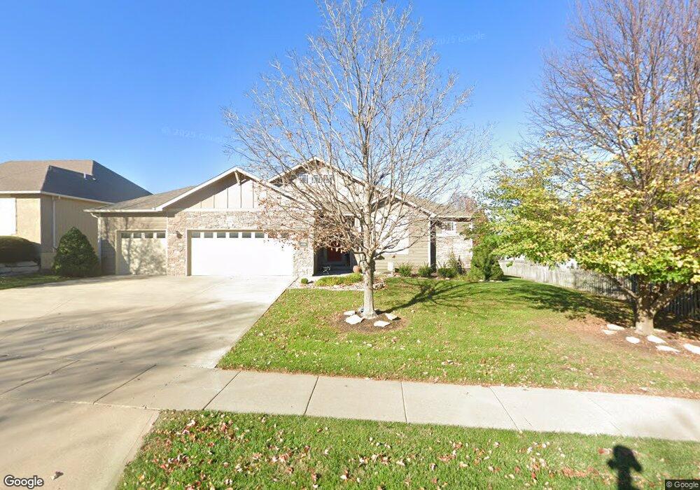
5220 Carson Dr Lawrence, KS 66049
West Lawrence NeighborhoodEstimated Value: $442,000 - $502,000
4
Beds
3
Baths
1,960
Sq Ft
$242/Sq Ft
Est. Value
About This Home
This home is located at 5220 Carson Dr, Lawrence, KS 66049 and is currently estimated at $473,634, approximately $241 per square foot. 5220 Carson Dr is a home located in Douglas County with nearby schools including Quail Run Elementary School, West Middle School, and Lawrence Free State High School.
Ownership History
Date
Name
Owned For
Owner Type
Purchase Details
Closed on
Feb 27, 2004
Sold by
Mallard Homes Inc
Bought by
Umholtz Mark D and Umholtz Danette S
Current Estimated Value
Home Financials for this Owner
Home Financials are based on the most recent Mortgage that was taken out on this home.
Original Mortgage
$120,000
Outstanding Balance
$56,083
Interest Rate
5.67%
Mortgage Type
Purchase Money Mortgage
Estimated Equity
$417,551
Create a Home Valuation Report for This Property
The Home Valuation Report is an in-depth analysis detailing your home's value as well as a comparison with similar homes in the area
Home Values in the Area
Average Home Value in this Area
Purchase History
| Date | Buyer | Sale Price | Title Company |
|---|---|---|---|
| Umholtz Mark D | -- | Commerce Title |
Source: Public Records
Mortgage History
| Date | Status | Borrower | Loan Amount |
|---|---|---|---|
| Open | Umholtz Mark D | $120,000 |
Source: Public Records
Tax History
| Year | Tax Paid | Tax Assessment Tax Assessment Total Assessment is a certain percentage of the fair market value that is determined by local assessors to be the total taxable value of land and additions on the property. | Land | Improvement |
|---|---|---|---|---|
| 2025 | $7,523 | $56,534 | $8,625 | $47,909 |
| 2024 | $6,624 | $52,974 | $7,475 | $45,499 |
| 2023 | $6,021 | $46,656 | $6,900 | $39,756 |
| 2022 | $5,707 | $43,930 | $6,900 | $37,030 |
| 2021 | $5,028 | $37,571 | $5,980 | $31,591 |
| 2020 | $4,852 | $36,455 | $5,980 | $30,475 |
| 2019 | $4,648 | $34,972 | $5,060 | $29,912 |
| 2018 | $4,535 | $33,879 | $4,600 | $29,279 |
| 2017 | $4,467 | $33,005 | $4,600 | $28,405 |
| 2016 | $4,248 | $32,787 | $4,600 | $28,187 |
| 2015 | $4,298 | $33,166 | $4,600 | $28,566 |
| 2014 | $4,632 | $32,890 | $4,600 | $28,290 |
Source: Public Records
Map
Nearby Homes
- 5237 Carson Dr
- 205 Campbell Ct
- 5117 Parker Ct
- 237 Landon Ct
- 323 N Eaton Dr
- 5245 Overland Dr Unit C9
- 5245 Overland Dr Unit B24
- 5245 Overland Dr Unit B27
- 5200 Congressional Place
- 5204 Fox Chase Dr
- 5204 Foxchase Dr
- 5617 Johnson Dr
- 5629 Johnson Dr
- 5800 Johnson Dr
- 5806 Johnson Dr
- 5802 Johnson Dr
- 5109 Harvard Rd
- 4917 Colonial Way
- 5714 Silverstone Dr
- 4624 Hearthside Dr
- 5224 Carson Dr
- 229 Eisenhower Dr
- 225 Eisenhower Dr
- 214 Campbell Ct
- 5228 Carson Dr
- 221 Eisenhower Dr
- 5221 Carson Dr
- 5217 Carson Dr
- 210 Campbell Ct
- 5225 Carson Dr
- 5232 Carson Dr
- 5213 Carson Dr
- 217 Eisenhower Dr
- 5229 Carson Dr
- 213 Campbell Ct
- 5209 Carson Dr
- 232 Eisenhower Dr
- 5233 Carson Dr
- 228 Eisenhower Dr
- 5236 Carson Dr
Your Personal Tour Guide
Ask me questions while you tour the home.