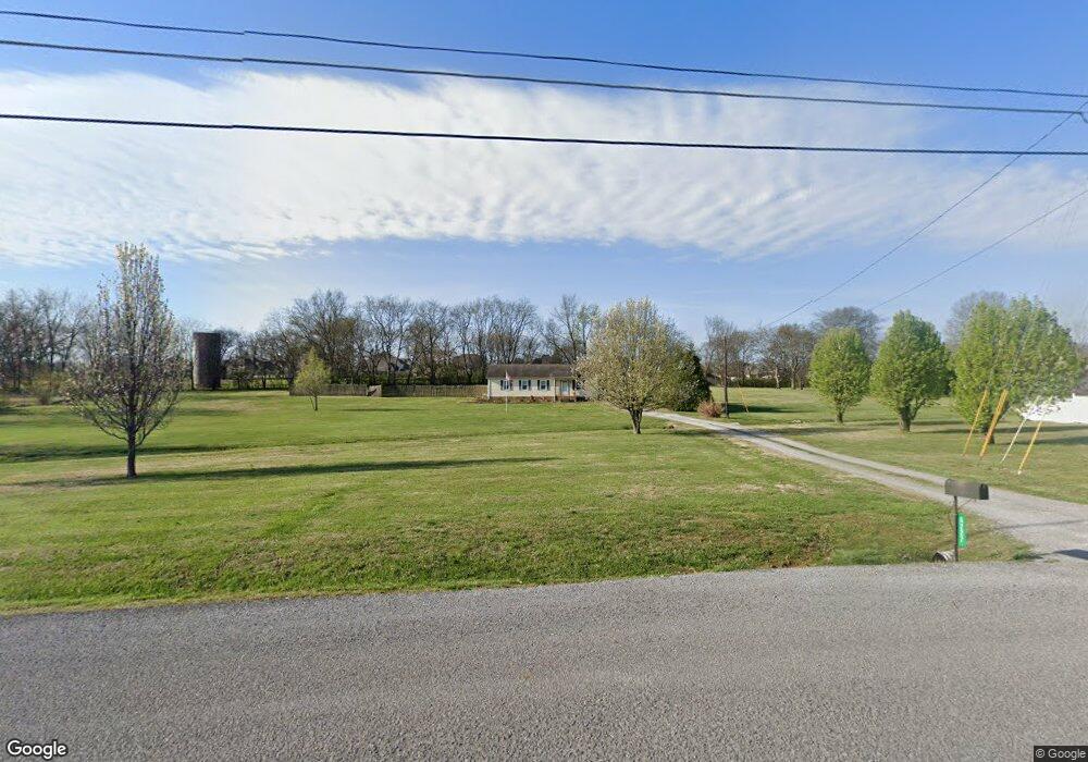
5227 Grassland Dr Murfreesboro, TN 37129
Estimated Value: $321,385 - $360,000
--
Bed
2
Baths
1,224
Sq Ft
$280/Sq Ft
Est. Value
About This Home
This home is located at 5227 Grassland Dr, Murfreesboro, TN 37129 and is currently estimated at $342,596, approximately $279 per square foot. 5227 Grassland Dr is a home located in Rutherford County with nearby schools including Brown's Chapel Elementary School, Blackman Middle School, and Blackman High School.
Ownership History
Date
Name
Owned For
Owner Type
Purchase Details
Closed on
Feb 20, 2015
Sold by
Johnson Christopher
Bought by
Johnson Jamie L
Current Estimated Value
Purchase Details
Closed on
Jan 12, 2004
Sold by
R J Rentals
Bought by
Christopher Johnson
Home Financials for this Owner
Home Financials are based on the most recent Mortgage that was taken out on this home.
Original Mortgage
$111,155
Interest Rate
6.03%
Purchase Details
Closed on
Dec 13, 2002
Sold by
Silvertooth Robert A
Bought by
Rj Rentals
Purchase Details
Closed on
Sep 21, 1994
Sold by
Sec Of Housing & Urban Dev
Bought by
Silvertooth Robert A
Purchase Details
Closed on
Apr 15, 1994
Sold by
Kirsch Joe M Sub Trustee
Bought by
Sec Of Housing & Urban Dev
Create a Home Valuation Report for This Property
The Home Valuation Report is an in-depth analysis detailing your home's value as well as a comparison with similar homes in the area
Home Values in the Area
Average Home Value in this Area
Purchase History
| Date | Buyer | Sale Price | Title Company |
|---|---|---|---|
| Johnson Jamie L | -- | -- | |
| Christopher Johnson | $112,900 | -- | |
| Rj Rentals | $75,200 | -- | |
| Silvertooth Robert A | -- | -- | |
| Sec Of Housing & Urban Dev | -- | -- |
Source: Public Records
Mortgage History
| Date | Status | Borrower | Loan Amount |
|---|---|---|---|
| Previous Owner | Sec Of Housing & Urban Dev | $111,155 |
Source: Public Records
Tax History Compared to Growth
Tax History
| Year | Tax Paid | Tax Assessment Tax Assessment Total Assessment is a certain percentage of the fair market value that is determined by local assessors to be the total taxable value of land and additions on the property. | Land | Improvement |
|---|---|---|---|---|
| 2025 | $1,157 | $61,675 | $15,125 | $46,550 |
| 2024 | $1,157 | $61,675 | $15,125 | $46,550 |
| 2023 | $1,157 | $61,675 | $15,125 | $46,550 |
| 2022 | $997 | $61,675 | $15,125 | $46,550 |
| 2021 | $927 | $41,775 | $8,125 | $33,650 |
| 2020 | $927 | $41,775 | $8,125 | $33,650 |
| 2019 | $927 | $41,775 | $8,125 | $33,650 |
| 2018 | $877 | $41,775 | $0 | $0 |
| 2017 | $798 | $29,775 | $0 | $0 |
| 2016 | $798 | $29,775 | $0 | $0 |
| 2015 | $798 | $29,775 | $0 | $0 |
| 2014 | $740 | $29,775 | $0 | $0 |
| 2013 | -- | $27,250 | $0 | $0 |
Source: Public Records
Map
Nearby Homes
- 5302 Grassland Dr
- 5132 Prickly Pine Place
- 5064 Tricia Place
- 5342 Keystone Ct
- 4343 Banks St
- 2853 Elijah Dr
- 4921 Camborne Cir
- 4913 Camborne Cir
- 4946 Camborne Cir
- 3033 Asbury Rd
- 2816 Lightning Bug Dr
- 4936 Laura Jeanne Blvd
- 416 Heatherwood Dr
- 4838 Laura Jeanne Blvd
- 4908 Laura Jeanne Blvd
- 228 Heatherwood Dr
- 507 Heatherwood Dr
- Esparza Plan at Masonbrooke
- Lockhart Plan at Masonbrooke
- Seguin Plan at Masonbrooke
- 5235 Grassland Dr
- 5219 Grassland Dr
- 5305 Keystone Ct
- 5307 Keystone Ct
- 3201 Florence Rd
- 5120 Cedar Retreat Dr
- 5241 Grassland Dr
- 5124 Cedar Retreat Dr
- 5116 Cedar Retreat Dr
- 5311 Keystone Ct
- 5213 Grassland Dr
- 5128 Cedar Retreat Dr
- 5232 Grassland Dr
- 5112 Cedar Retreat Dr
- 5216 Grassland Dr
- 5244 Grassland Dr
- 5132 Cedar Retreat Dr
- 5240 Grassland Dr
- 5317 Keystone Ct
- 5136 Cedar Retreat Dr