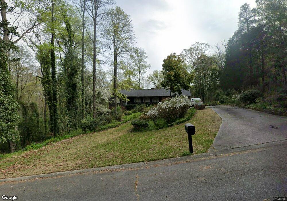
523 Sioux Dr Macon, GA 31210
Estimated Value: $249,000 - $325,000
4
Beds
3
Baths
1,726
Sq Ft
$158/Sq Ft
Est. Value
About This Home
This home is located at 523 Sioux Dr, Macon, GA 31210 and is currently estimated at $273,566, approximately $158 per square foot. 523 Sioux Dr is a home located in Bibb County with nearby schools including Lane Elementary School, Howard Middle School, and Howard High School.
Ownership History
Date
Name
Owned For
Owner Type
Purchase Details
Closed on
Aug 2, 2024
Sold by
Cannon Mary M
Bought by
Bates & Bates Properties Llc
Current Estimated Value
Home Financials for this Owner
Home Financials are based on the most recent Mortgage that was taken out on this home.
Original Mortgage
$78,787
Outstanding Balance
$9,671
Interest Rate
6.87%
Mortgage Type
Construction
Estimated Equity
$263,895
Purchase Details
Closed on
May 9, 1984
Sold by
Battle 1426 Wm P and Battle 1426 Linda A
Bought by
Cannon Mary M
Create a Home Valuation Report for This Property
The Home Valuation Report is an in-depth analysis detailing your home's value as well as a comparison with similar homes in the area
Home Values in the Area
Average Home Value in this Area
Purchase History
| Date | Buyer | Sale Price | Title Company |
|---|---|---|---|
| Bates & Bates Properties Llc | $90,000 | None Listed On Document | |
| Cannon Mary M | $80,000 | -- |
Source: Public Records
Mortgage History
| Date | Status | Borrower | Loan Amount |
|---|---|---|---|
| Open | Bates & Bates Properties Llc | $78,787 |
Source: Public Records
Tax History Compared to Growth
Tax History
| Year | Tax Paid | Tax Assessment Tax Assessment Total Assessment is a certain percentage of the fair market value that is determined by local assessors to be the total taxable value of land and additions on the property. | Land | Improvement |
|---|---|---|---|---|
| 2025 | $1,949 | $79,331 | $33,600 | $45,731 |
| 2024 | $1,647 | $79,331 | $33,600 | $45,731 |
| 2023 | $1,906 | $78,736 | $33,600 | $45,136 |
| 2022 | $1,494 | $57,053 | $10,125 | $46,928 |
| 2021 | $1,298 | $48,028 | $10,125 | $37,903 |
| 2020 | $1,327 | $48,028 | $10,125 | $37,903 |
| 2019 | $1,337 | $48,028 | $10,125 | $37,903 |
| 2018 | $1,976 | $43,857 | $9,563 | $34,294 |
| 2017 | $977 | $40,247 | $9,563 | $30,684 |
| 2016 | $957 | $42,130 | $9,563 | $32,567 |
| 2015 | $1,361 | $42,130 | $9,563 | $32,567 |
| 2014 | $1,653 | $42,130 | $9,563 | $32,567 |
Source: Public Records
Map
Nearby Homes
- 556 Commanche Place
- 602 Commanche Dr
- 673 Commanche Dr
- 106 Brandon Way
- 121 Brookstone Way
- 750 Stonington Place
- 668 Monticlair Dr
- 731 Lokchapee Dr
- 636 Lokchapee Ridge
- 753 Lokchapee Dr
- 627 Lokchapee Ridge
- 1224 Timberlane Dr
- 825 Forest Lake Dr S
- 859 Forest Lake Dr S
- 1270 Lake Valley Rd
- 938 Lundy Terrace
- 1344 Lake Valley Rd
- 4620 S Stratford Oaks Dr
- 4713 Lattimore Dr
- 870 Glen Hill Ct
- 528 Commanche Place
- 532 Lokchapee Dr
- 559 Lokchapee Dr
- 490 Lokchapee Dr
- 532 Sioux Dr
- 554 Sioux Dr
- 605 Commanche Dr
- 601 Commanche Dr
- 570 Sioux Dr
- 0 Commanche Place Unit 8538538
- 0 Commanche Place Unit 8377069
- 0 Commanche Place Unit 8289712
- 474 Lokchapee Dr
- 568 Commanche Place
- 516 Commanche Place
- 609 Commanche Dr
- 585 Commanche Dr
- 527 Commanche Dr
- 551 Commanche Place
- 0 Sioux Dr