524 Old Range Rd Sanbornton, NH 03269
Sanbornton NeighborhoodEstimated Value: $473,000 - $569,304
2
Beds
3
Baths
2,679
Sq Ft
$201/Sq Ft
Est. Value
About This Home
This home is located at 524 Old Range Rd, Sanbornton, NH 03269 and is currently estimated at $538,326, approximately $200 per square foot. 524 Old Range Rd is a home located in Belknap County with nearby schools including Sanbornton Central School, Winnisquam Regional Middle School, and Winnisquam Regional High School.
Ownership History
Date
Name
Owned For
Owner Type
Purchase Details
Closed on
Jul 7, 2017
Sold by
Driscoll William J and Driscoll Elise B
Bought by
Driscoll Ft
Current Estimated Value
Purchase Details
Closed on
Jul 17, 2006
Sold by
Hosmer Henry L and Hosmer Helga
Bought by
Driscoll William J and Driscoll Elise B
Home Financials for this Owner
Home Financials are based on the most recent Mortgage that was taken out on this home.
Original Mortgage
$220,000
Interest Rate
6.71%
Purchase Details
Closed on
Dec 18, 2002
Sold by
Strempek William M and Strempek Lillian J
Bought by
Hosmer Henry L and Hosmer Helen
Create a Home Valuation Report for This Property
The Home Valuation Report is an in-depth analysis detailing your home's value as well as a comparison with similar homes in the area
Home Values in the Area
Average Home Value in this Area
Purchase History
| Date | Buyer | Sale Price | Title Company |
|---|---|---|---|
| Driscoll Ft | -- | -- | |
| Driscoll William J | $279,000 | -- | |
| Hosmer Henry L | $275,500 | -- |
Source: Public Records
Mortgage History
| Date | Status | Borrower | Loan Amount |
|---|---|---|---|
| Previous Owner | Hosmer Henry L | $60,000 | |
| Previous Owner | Driscoll William J | $220,000 |
Source: Public Records
Tax History
| Year | Tax Paid | Tax Assessment Tax Assessment Total Assessment is a certain percentage of the fair market value that is determined by local assessors to be the total taxable value of land and additions on the property. | Land | Improvement |
|---|---|---|---|---|
| 2025 | $6,791 | $514,100 | $163,700 | $350,400 |
| 2024 | $6,586 | $514,100 | $163,700 | $350,400 |
| 2023 | $6,433 | $534,300 | $163,700 | $370,600 |
| 2022 | $6,283 | $316,200 | $90,700 | $225,500 |
| 2021 | $5,812 | $316,200 | $90,700 | $225,500 |
| 2020 | $6,381 | $316,200 | $90,700 | $225,500 |
| 2019 | $6,077 | $316,200 | $90,700 | $225,500 |
| 2018 | $6,262 | $316,200 | $90,700 | $225,500 |
| 2017 | $6,262 | $265,000 | $54,000 | $211,000 |
| 2016 | $6,123 | $259,100 | $54,000 | $205,100 |
| 2015 | $6,221 | $259,100 | $54,000 | $205,100 |
| 2014 | $5,952 | $259,100 | $54,000 | $205,100 |
| 2013 | $5,952 | $259,100 | $54,000 | $205,100 |
Source: Public Records
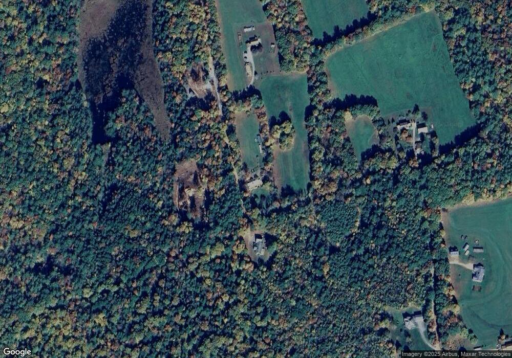
Map
Nearby Homes
- 100 Cram Rd
- 92 Leavitt Rd
- 130 Upper Smith Rd
- 100 Lower Bay Rd
- 6 Winnisquam Shores
- 10 Courtesy Ave
- 82 Sunset Dr
- 125 Sunset Dr
- 56 Sun Lake Dr
- 129 Sunset Dr
- 302 Black Brook Rd
- 516 Steele Hill Rd Unit Week 1-10 & 51 and
- 516 Steele Hill Rd Unit Float week 17-23; 37
- 516 Steele Hill Rd Unit Floating week 17-23
- 724 Sanborn Rd
- 46 Linda Dr
- US Rt3 Daniel Webster Hwy
- 1168 New Hampton Rd
- 7 Simmons Ct
- 26 Juniper Dr
- 0 Old Range Rd Unit 4947871
- 0 Old Range Rd Unit 4891318
- 0 Old Range Rd Unit 8-1
- 00 Range Rd
- 0 Range Rd
- 519 Old Range Rd
- 522 Old Range Rd
- 560 Old Range Rd
- 30 Wells Rd
- 45 Wells Rd
- 11 Wells Rd
- 2 Wells Rd
- 606 Hunkins Pond Rd
- 565 Hunkins Pond Rd
- 527 Hunkins Pond Rd
- 000 Huckins Pond Rd
- 543 Hunkins Pond Rd
- 105 Dearborn Rd
- 617 Hunkins Pond Rd
- 626 Hunkins Pond Rd
Your Personal Tour Guide
Ask me questions while you tour the home.