5240 Cedar Lane Farm Rd Midland, VA 22728
Estimated Value: $1,122,000 - $1,419,000
4
Beds
1
Bath
2,176
Sq Ft
$584/Sq Ft
Est. Value
About This Home
This home is located at 5240 Cedar Lane Farm Rd, Midland, VA 22728 and is currently estimated at $1,270,576, approximately $583 per square foot. 5240 Cedar Lane Farm Rd is a home located in Fauquier County with nearby schools including H.M. Pearson Elementary School, Cedar Lee Middle School, and Liberty High School.
Ownership History
Date
Name
Owned For
Owner Type
Purchase Details
Closed on
Mar 14, 2000
Sold by
Est Janet P Grohs
Bought by
Jones Paul R
Current Estimated Value
Home Financials for this Owner
Home Financials are based on the most recent Mortgage that was taken out on this home.
Original Mortgage
$296,000
Outstanding Balance
$99,957
Interest Rate
8.24%
Estimated Equity
$1,170,619
Create a Home Valuation Report for This Property
The Home Valuation Report is an in-depth analysis detailing your home's value as well as a comparison with similar homes in the area
Home Values in the Area
Average Home Value in this Area
Purchase History
| Date | Buyer | Sale Price | Title Company |
|---|---|---|---|
| Jones Paul R | $370,000 | -- |
Source: Public Records
Mortgage History
| Date | Status | Borrower | Loan Amount |
|---|---|---|---|
| Open | Jones Paul R | $296,000 |
Source: Public Records
Tax History Compared to Growth
Tax History
| Year | Tax Paid | Tax Assessment Tax Assessment Total Assessment is a certain percentage of the fair market value that is determined by local assessors to be the total taxable value of land and additions on the property. | Land | Improvement |
|---|---|---|---|---|
| 2025 | $3,222 | $963,000 | $789,400 | $173,600 |
| 2024 | $3,156 | $333,200 | $159,600 | $173,600 |
| 2023 | $3,022 | $963,000 | $789,400 | $173,600 |
| 2022 | $3,022 | $963,000 | $789,400 | $173,600 |
| 2021 | $2,499 | $713,500 | $595,200 | $118,300 |
| 2020 | $2,499 | $713,500 | $595,200 | $118,300 |
| 2019 | $2,499 | $713,500 | $595,200 | $118,300 |
| 2018 | $2,469 | $713,500 | $595,200 | $118,300 |
| 2016 | $2,107 | $666,400 | $578,100 | $88,300 |
| 2015 | -- | $666,400 | $578,100 | $88,300 |
| 2014 | -- | $666,400 | $578,100 | $88,300 |
Source: Public Records
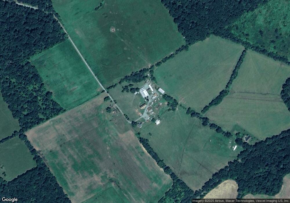
Map
Nearby Homes
- 0 Unassigned Unit VAFQ2013780
- 11378 Timbuktu Ln
- 11312 Timbuktu Ln
- 0 Timbuktu Ln
- 11326-BUILD SOUTH Rogues Rd
- 11243 Blackwelltown Rd
- 11326-LAND SOUTH Rogues Rd
- 10816 King Nobel Ln
- 10843 Spencer St
- 10346 Groves Farm Rd
- 10853 King Nobel Ln
- 6152 Newton Ln
- 6161 Willow Place Unit 305
- 10816 Grimbert Ct
- 5426 Germantown Rd
- 10819 Grimbert Ct
- 6188 Library Ln
- 0 Old Mill Rd Unit LotWP001 21203612
- 0 Rt 17 and Inglewood Farm Ln Unit VAFQ2016840
- 11238 Torrie Way Unit H
- 5123 Cedar Lane Farm Rd
- 5052 Ebenezer Church Rd
- 5092 Ebenezer Church Rd
- 11041 Rogues Rd
- 4612 Ebenezer Church Rd
- 11141 Rogues Rd
- 11185 Rogues Rd
- 4592 Ebenezer Church Rd
- 11181 Rogues Rd
- 5021 Ebenezer Church Rd
- 4566 Ebenezer Church Rd
- 11187 Rogues Rd
- 11178 Rogues Rd
- 11042 Rogues Rd
- 0 Rogues Rd Unit 1000129627
- 0 Rogues Rd Unit FQ9900113
- 0 Rogues Rd Unit VAFQ168304
- 0 Rogues Rd Unit VAFQ2015820
- 0 Rogues Rd Unit VAFQ2001554
- 0 Rogues Rd Unit VAFQ168408