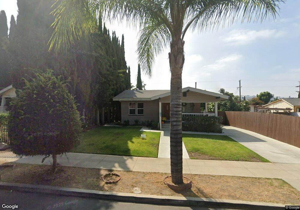
5242 Range View Ave Los Angeles, CA 90042
Estimated Value: $995,000 - $1,136,000
2
Beds
1
Bath
968
Sq Ft
$1,071/Sq Ft
Est. Value
About This Home
This home is located at 5242 Range View Ave, Los Angeles, CA 90042 and is currently estimated at $1,036,718, approximately $1,070 per square foot. 5242 Range View Ave is a home located in Los Angeles County with nearby schools including Buchanan Street Elementary, Benjamin Franklin High School, and Luther Burbank Middle School.
Ownership History
Date
Name
Owned For
Owner Type
Purchase Details
Closed on
Oct 31, 2022
Sold by
Wang Karly S
Bought by
Justin Chiang And Karly Wang Living Trust and Chiang
Current Estimated Value
Purchase Details
Closed on
Sep 19, 2019
Sold by
Dennis Corey Jason and Dennis Sandra Patricia
Bought by
Dennis Sandra Patricia and Dennis Corey Jason
Home Financials for this Owner
Home Financials are based on the most recent Mortgage that was taken out on this home.
Original Mortgage
$437,000
Interest Rate
3.4%
Mortgage Type
New Conventional
Purchase Details
Closed on
Jan 27, 2014
Sold by
Caran Sara
Bought by
Dennis Corey Jason and Dennis Sandra Patricia
Home Financials for this Owner
Home Financials are based on the most recent Mortgage that was taken out on this home.
Original Mortgage
$407,483
Interest Rate
4.38%
Mortgage Type
FHA
Create a Home Valuation Report for This Property
The Home Valuation Report is an in-depth analysis detailing your home's value as well as a comparison with similar homes in the area
Home Values in the Area
Average Home Value in this Area
Purchase History
| Date | Buyer | Sale Price | Title Company |
|---|---|---|---|
| Justin Chiang And Karly Wang Living Trust | -- | None Listed On Document | |
| Dennis Sandra Patricia | -- | First American Title | |
| Dennis Corey Jason | $415,000 | Wfg Title |
Source: Public Records
Mortgage History
| Date | Status | Borrower | Loan Amount |
|---|---|---|---|
| Previous Owner | Dennis Sandra Patricia | $437,000 | |
| Previous Owner | Dennis Corey Jason | $407,483 |
Source: Public Records
Tax History Compared to Growth
Tax History
| Year | Tax Paid | Tax Assessment Tax Assessment Total Assessment is a certain percentage of the fair market value that is determined by local assessors to be the total taxable value of land and additions on the property. | Land | Improvement |
|---|---|---|---|---|
| 2025 | $6,216 | $508,721 | $406,981 | $101,740 |
| 2024 | $6,216 | $498,747 | $399,001 | $99,746 |
| 2023 | $6,097 | $488,969 | $391,178 | $97,791 |
| 2022 | $5,815 | $479,382 | $383,508 | $95,874 |
| 2021 | $5,743 | $469,984 | $375,989 | $93,995 |
| 2019 | $5,573 | $456,046 | $364,838 | $91,208 |
| 2018 | $5,489 | $447,105 | $357,685 | $89,420 |
| 2016 | $5,246 | $429,746 | $343,797 | $85,949 |
| 2015 | $5,169 | $423,291 | $338,633 | $84,658 |
| 2014 | $1,801 | $143,744 | $50,348 | $93,396 |
Source: Public Records
Map
Nearby Homes
- 5252 Range View Ave
- 5117 Stratford Rd
- 1813 N Avenue 53
- 5413 Meridian St
- 1813 N Avenue 55
- 5240 Barker Dr
- 5318 Raber St
- 1932 Phillips Way
- 5125 Buchanan St
- 1942 Phillips Way
- 1938 Phillips Way
- 1815 Nolden St
- 1915 N Avenue 52
- 1370 N Avenue 57
- 1902 N Avenue 51
- 829 N Avenue 53
- 5055 Hub St
- 1113 N Avenue 50
- 5711 Stratford Rd
- 4925 Buchanan St
- 5236 Range View Ave
- 5246 Range View Ave
- 5230 Range View Ave
- 5243 Stratford Rd
- 1700 Phillips Way
- 5237 Stratford Rd
- 5247 Stratford Rd
- 5226 Range View Ave
- 5258 Range View Ave
- 5233 Stratford Rd
- 5253 Stratford Rd
- 1701 N Avenue 53
- 1706 Phillips Way
- 5222 Range View Ave
- 5257 Stratford Rd
- 5227 Stratford Rd
- 1707 N Avenue 53
- 1701 Phillips Way
- 1710 Phillips Way
- 5221 Stratford Rd