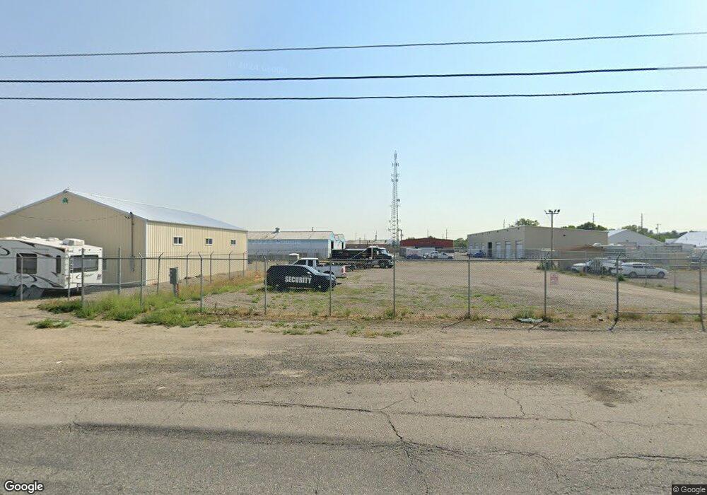
525 Daniel St Billings, MT 59101
East Central Billings NeighborhoodEstimated Value: $316,544
--
Bed
--
Bath
1,800
Sq Ft
$176/Sq Ft
Est. Value
About This Home
This home is located at 525 Daniel St, Billings, MT 59101 and is currently estimated at $316,544, approximately $175 per square foot. 525 Daniel St is a home located in Yellowstone County with nearby schools including Washington School, Lewis & Clark Junior High School, and Billings West High School.
Ownership History
Date
Name
Owned For
Owner Type
Purchase Details
Closed on
Oct 21, 2021
Sold by
Rose Carl W and Rose Donna M
Bought by
Rose Carl W and Rose Donna M
Current Estimated Value
Purchase Details
Closed on
Oct 7, 2019
Sold by
Kirkness R D
Bought by
Rose Carl and Rose Donna
Purchase Details
Closed on
Jul 23, 2013
Sold by
Prewett Mark and Prewett Jodie
Bought by
Kirkness R D
Create a Home Valuation Report for This Property
The Home Valuation Report is an in-depth analysis detailing your home's value as well as a comparison with similar homes in the area
Home Values in the Area
Average Home Value in this Area
Purchase History
| Date | Buyer | Sale Price | Title Company |
|---|---|---|---|
| Rose Carl W | -- | None Available | |
| Rose Carl | -- | First American Title | |
| Kirkness R D | -- | Chicago Title |
Source: Public Records
Tax History Compared to Growth
Tax History
| Year | Tax Paid | Tax Assessment Tax Assessment Total Assessment is a certain percentage of the fair market value that is determined by local assessors to be the total taxable value of land and additions on the property. | Land | Improvement |
|---|---|---|---|---|
| 2025 | $4,657 | $399,842 | $377,782 | $22,060 |
| 2024 | $4,657 | $305,801 | $284,821 | $20,980 |
| 2023 | $4,354 | $284,821 | $284,821 | $0 |
| 2022 | $3,097 | $234,265 | $0 | $0 |
| 2021 | $3,810 | $234,265 | $0 | $0 |
| 2020 | $3,819 | $225,516 | $0 | $0 |
| 2019 | $4,924 | $255,276 | $0 | $0 |
| 2018 | $5,013 | $260,064 | $0 | $0 |
| 2017 | $3,370 | $260,064 | $0 | $0 |
| 2016 | $5,300 | $301,641 | $0 | $0 |
| 2015 | $5,181 | $301,641 | $0 | $0 |
| 2014 | $4,236 | $172,499 | $0 | $0 |
Source: Public Records
Map
Nearby Homes
- 12 Macarthur Ave
- 19 Patton Ave
- 231 S 12th St W
- 2014 George St
- 141 S 12th St W
- 1219 Fairvale Dr
- 2016 Monad Rd
- 226 Moore Ln
- 240 Birchwood Dr
- 1212 Concord Dr
- 2109 George St
- 1205 Lynn Ave
- 669 S 22nd St W
- 126 Ardmore Dr
- 1231 Saint Johns Ave
- 1113 Lynn Ave
- 16 19th St W
- 1532 Howard Ave
- 2225 Rosebud Dr
- 28 19th St W
- 619 Daniel St
- 609 Charles St
- 457 Daniel Street A Lease
- 457 Daniel St B-1 Lease
- 609 Charles (Lease)
- 43 Macarthur Ave
- 41 Macarthur Ave
- 39 Macarthur Ave
- 6 Marshall Dr
- 37 Macarthur Ave
- 39 Mac Arthur Ave
- 35 Macarthur Ave
- 33 Macarthur Ave
- 8 Marshall Dr
- 5448 Laurel Rd
- 31 Macarthur Ave
- 29 Macarthur Ave
- 10 Marshall Dr
- 42 Macarthur Ave
- 40 Mac Arthur Ave