525 Loflin Rd Colorado Springs, CO 80930
Estimated Value: $505,000 - $688,000
3
Beds
2
Baths
2,318
Sq Ft
$245/Sq Ft
Est. Value
About This Home
This home is located at 525 Loflin Rd, Colorado Springs, CO 80930 and is currently estimated at $568,367, approximately $245 per square foot. 525 Loflin Rd is a home located in El Paso County with nearby schools including Ellicott Elementary School, Ellicott Middle School, and Ellicott Senior High School.
Ownership History
Date
Name
Owned For
Owner Type
Purchase Details
Closed on
Feb 28, 2017
Sold by
Milton Carol Dianne
Bought by
Senzamici Mare and Senzamici Kathy
Current Estimated Value
Home Financials for this Owner
Home Financials are based on the most recent Mortgage that was taken out on this home.
Original Mortgage
$248,000
Outstanding Balance
$205,196
Interest Rate
4.09%
Mortgage Type
New Conventional
Estimated Equity
$363,171
Purchase Details
Closed on
Jan 28, 2010
Sold by
Simmons Eloise M
Bought by
Simmons Eloise M and Milton Carol Dianne
Purchase Details
Closed on
Dec 6, 1977
Bought by
Senzamici Marc
Purchase Details
Closed on
Aug 23, 1976
Bought by
Senzamici Marc
Create a Home Valuation Report for This Property
The Home Valuation Report is an in-depth analysis detailing your home's value as well as a comparison with similar homes in the area
Home Values in the Area
Average Home Value in this Area
Purchase History
| Date | Buyer | Sale Price | Title Company |
|---|---|---|---|
| Senzamici Mare | $310,000 | Unified Title Co | |
| Simmons Eloise M | -- | None Available | |
| Senzamici Marc | -- | -- | |
| Senzamici Marc | -- | -- |
Source: Public Records
Mortgage History
| Date | Status | Borrower | Loan Amount |
|---|---|---|---|
| Open | Senzamici Mare | $248,000 |
Source: Public Records
Tax History Compared to Growth
Tax History
| Year | Tax Paid | Tax Assessment Tax Assessment Total Assessment is a certain percentage of the fair market value that is determined by local assessors to be the total taxable value of land and additions on the property. | Land | Improvement |
|---|---|---|---|---|
| 2025 | $1,360 | $32,660 | -- | -- |
| 2024 | $1,170 | $28,310 | $6,810 | $21,500 |
| 2023 | $1,170 | $28,310 | $6,810 | $21,500 |
| 2022 | $837 | $15,390 | $6,100 | $9,290 |
| 2021 | $789 | $15,830 | $6,280 | $9,550 |
| 2020 | $735 | $13,930 | $5,640 | $8,290 |
| 2019 | $729 | $13,930 | $5,640 | $8,290 |
| 2018 | $638 | $11,720 | $5,130 | $6,590 |
| 2017 | $696 | $11,720 | $5,130 | $6,590 |
| 2016 | $364 | $12,150 | $5,290 | $6,860 |
| 2015 | $362 | $12,150 | $5,290 | $6,860 |
| 2014 | $358 | $11,900 | $5,140 | $6,760 |
Source: Public Records
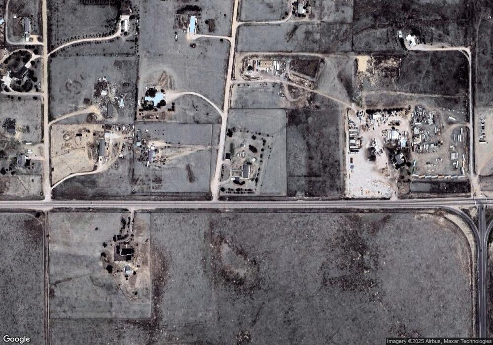
Map
Nearby Homes
- 740 Donald Rd
- 1155 Donald Rd
- 75 N Curtis Rd Unit 45
- 1355 Houseman Rd
- 1185 N Curtis Rd
- 9475 N Curtis Rd
- 625 Slocum Rd
- 15530 Amo Rd
- 2115 Terri Lee Dr
- 2120 Terri Lee Dr
- 0 Kennedy Rd
- 2265 Terri Lee Dr
- 2105 Slocum Rd
- 2955 Hoofprint Rd
- 2940 Hoofprint Rd
- 14655 Davis Rd
- 2550 Slocum Rd
- 905 Engleby Dr
- 3250 Slocum Rd
- 14155 Teleo Ct
- 15460 State Highway 94
- 660 Loflin Rd
- 655 Loflin Rd
- 535 Donald Rd
- 15375 State Highway 94
- 15375 State Highway 94
- 740 Loflin Rd
- 15620 State Highway 94
- 675 Loflin Rd
- 745 Donald Rd
- 15270 State Highway 94
- 925 Loflin Rd
- 650 Donald Rd
- 0 N Enoch Rd
- 15810 State Highway 94
- 855 Donald Rd
- 725 Houseman Rd
- 15225 State Highway 94
- 1025 Loflin Rd
- 1030 Loflin Rd