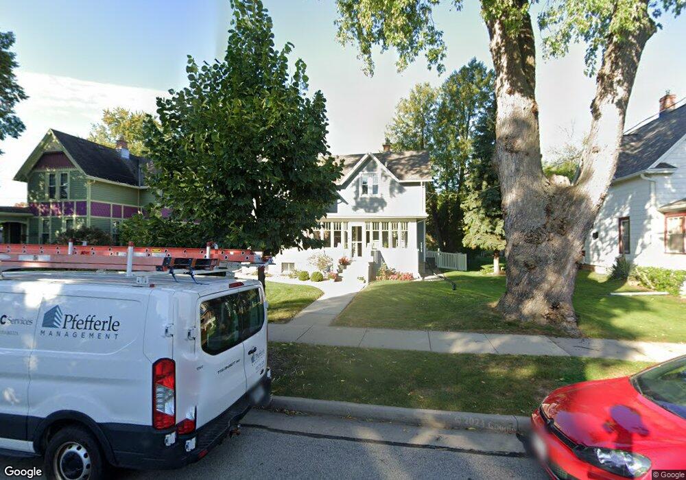
525 N Sampson St Appleton, WI 54911
Peabody Park NeighborhoodEstimated Value: $301,653 - $323,000
4
Beds
2
Baths
1,914
Sq Ft
$164/Sq Ft
Est. Value
About This Home
This home is located at 525 N Sampson St, Appleton, WI 54911 and is currently estimated at $313,413, approximately $163 per square foot. 525 N Sampson St is a home located in Outagamie County with nearby schools including Edison Elementary School, Appleton North High School, and Appleton Bilingual School.
Ownership History
Date
Name
Owned For
Owner Type
Purchase Details
Closed on
Jan 28, 2025
Sold by
Frichner Jeffrey Scott
Bought by
Frichner Kelly Ann
Current Estimated Value
Purchase Details
Closed on
Nov 16, 2018
Sold by
Zorn Kieth D
Bought by
Frichner Jeffrey and Frichner Kelly
Purchase Details
Closed on
Sep 9, 2011
Sold by
Vanderlinden Ethel
Bought by
Zorn Keith D and Zorn Lisa C
Create a Home Valuation Report for This Property
The Home Valuation Report is an in-depth analysis detailing your home's value as well as a comparison with similar homes in the area
Home Values in the Area
Average Home Value in this Area
Purchase History
| Date | Buyer | Sale Price | Title Company |
|---|---|---|---|
| Frichner Kelly Ann | -- | None Listed On Document | |
| Frichner Jeffrey | $220,000 | -- | |
| Zorn Keith D | $70,500 | -- |
Source: Public Records
Tax History
| Year | Tax Paid | Tax Assessment Tax Assessment Total Assessment is a certain percentage of the fair market value that is determined by local assessors to be the total taxable value of land and additions on the property. | Land | Improvement |
|---|---|---|---|---|
| 2023 | $4,303 | $281,900 | $26,900 | $255,000 |
| 2022 | $4,116 | $200,000 | $22,700 | $177,300 |
| 2021 | $3,926 | $200,000 | $22,700 | $177,300 |
| 2020 | $3,909 | $200,000 | $22,700 | $177,300 |
| 2019 | $3,794 | $200,000 | $22,700 | $177,300 |
| 2018 | $2,343 | $111,500 | $20,900 | $90,600 |
| 2017 | $2,004 | $96,500 | $20,900 | $75,600 |
| 2016 | $1,964 | $96,500 | $20,900 | $75,600 |
| 2015 | $2,851 | $96,500 | $20,900 | $75,600 |
| 2014 | $1,982 | $96,500 | $20,900 | $75,600 |
| 2013 | $2,396 | $114,800 | $20,900 | $93,900 |
Source: Public Records
Map
Nearby Homes
- 515 N Tonka St
- 827 E Washington St
- 526 N Ida St
- 1 Brokaw Place
- 818 N Durkee St
- 425 E Summer St
- 431 E Summer St
- 324 E Commercial St
- 1426 N Meade St
- 221 E Winnebago St
- 311 S Walter Ave
- 120 S Telulah Ave
- 224 S Telulah Ave
- 507 E Roosevelt St
- 518 S Telulah Ave
- 1815 N Ullman St
- 524 E Mckinley St
- 501 W Winnebago St
- 1809 N Charlotte St
- 913 N Harriman St
- 531 N Sampson St
- 924 E North St
- 519 N Sampson St
- 918 E North St
- 914 E North St
- 934 E North St
- 526 N Sampson St
- 513 N Sampson St
- 520 N Sampson St
- 514 N Sampson St
- 940 E North St
- 532 N Sampson St
- 908 E North St
- 514 N Rankin St
- 520 N Rankin St
- 508 N Rankin St
- 919 E North St
- 902 E North St
- 946 E North St
- 929 E North St
Your Personal Tour Guide
Ask me questions while you tour the home.