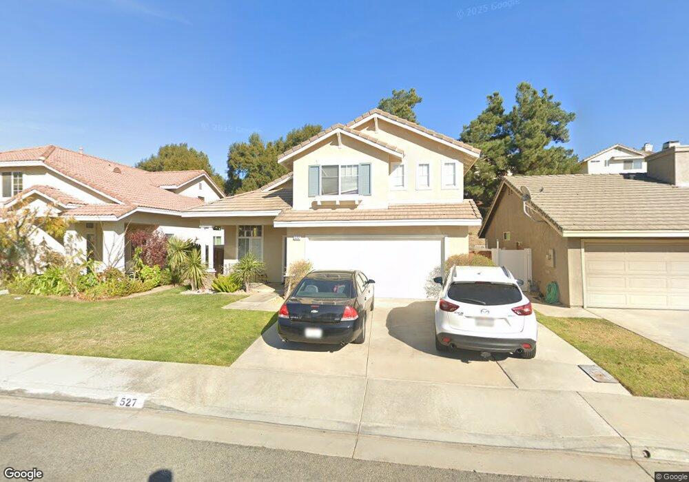
527 Brookhaven Dr Unit 82 Corona, CA 92879
Corona Ranch NeighborhoodEstimated Value: $641,408 - $714,000
3
Beds
3
Baths
1,449
Sq Ft
$458/Sq Ft
Est. Value
About This Home
This home is located at 527 Brookhaven Dr Unit 82, Corona, CA 92879 and is currently estimated at $663,102, approximately $457 per square foot. 527 Brookhaven Dr Unit 82 is a home located in Riverside County with nearby schools including William McKinley Elementary School, Auburndale Intermediate, and Centennial High School.
Ownership History
Date
Name
Owned For
Owner Type
Purchase Details
Closed on
Jun 27, 1996
Sold by
Crest Corona Lp
Bought by
Rising Michael K and Rising Sandra
Current Estimated Value
Home Financials for this Owner
Home Financials are based on the most recent Mortgage that was taken out on this home.
Original Mortgage
$135,700
Outstanding Balance
$9,942
Interest Rate
8.39%
Mortgage Type
FHA
Estimated Equity
$653,160
Create a Home Valuation Report for This Property
The Home Valuation Report is an in-depth analysis detailing your home's value as well as a comparison with similar homes in the area
Home Values in the Area
Average Home Value in this Area
Purchase History
| Date | Buyer | Sale Price | Title Company |
|---|---|---|---|
| Rising Michael K | $143,000 | First American Title Ins Co |
Source: Public Records
Mortgage History
| Date | Status | Borrower | Loan Amount |
|---|---|---|---|
| Open | Rising Michael K | $135,700 |
Source: Public Records
Tax History Compared to Growth
Tax History
| Year | Tax Paid | Tax Assessment Tax Assessment Total Assessment is a certain percentage of the fair market value that is determined by local assessors to be the total taxable value of land and additions on the property. | Land | Improvement |
|---|---|---|---|---|
| 2025 | $3,350 | $228,792 | $40,696 | $188,096 |
| 2023 | $3,350 | $219,910 | $39,117 | $180,793 |
| 2022 | $4,547 | $215,599 | $38,350 | $177,249 |
| 2021 | $4,486 | $211,373 | $37,599 | $173,774 |
| 2020 | $4,401 | $209,207 | $37,214 | $171,993 |
| 2019 | $4,333 | $205,106 | $36,485 | $168,621 |
| 2018 | $4,262 | $201,085 | $35,771 | $165,314 |
| 2017 | $4,174 | $197,143 | $35,070 | $162,073 |
| 2016 | $4,140 | $193,279 | $34,383 | $158,896 |
| 2015 | $4,089 | $190,377 | $33,867 | $156,510 |
| 2014 | $4,009 | $186,650 | $33,204 | $153,446 |
Source: Public Records
Map
Nearby Homes
- 2068 Atherton Cir
- 1851 Caitlin Cir
- 676 Avondale Dr
- 429 Colfax Cir
- 693 John Dr
- 409 Harding Cir
- 1605 Knox Cir
- 713 San Benito Ln
- 2118 Tehachapi Dr
- 1507 Mariposa Dr
- 1522 Del Norte Dr
- 1521 Del Norte Dr
- 1455 Cresta Rd
- 1450 Mariposa Dr
- 909 Cimarron Ln
- 4112 S Neece St
- 2225 Indigo Hills Dr Unit 3
- 4072 S Neece St
- 747 Ochee Cir
- 13680 Estelle St
- 535 Brookhaven Dr Unit 81
- 519 Brookhaven Dr
- 511 Brookhaven Dr
- 543 Brookhaven Dr
- 514 Brookhaven Dr
- 508 Brookhaven Dr
- 558 Towergrove Dr Unit 99
- 520 Brookhaven Dr
- 548 Towergrove Dr
- 568 Towergrove Dr
- 503 Brookhaven Dr Unit 85
- 551 Brookhaven Dr
- 526 Brookhaven Dr Unit 48
- 502 Brookhaven Dr Unit 44
- 559 Brookhaven Dr Unit 78
- 538 Towergrove Dr
- 496 Brookhaven Dr
- 495 Brookhaven Dr
- 567 Brookhaven Dr
- 528 Towergrove Dr