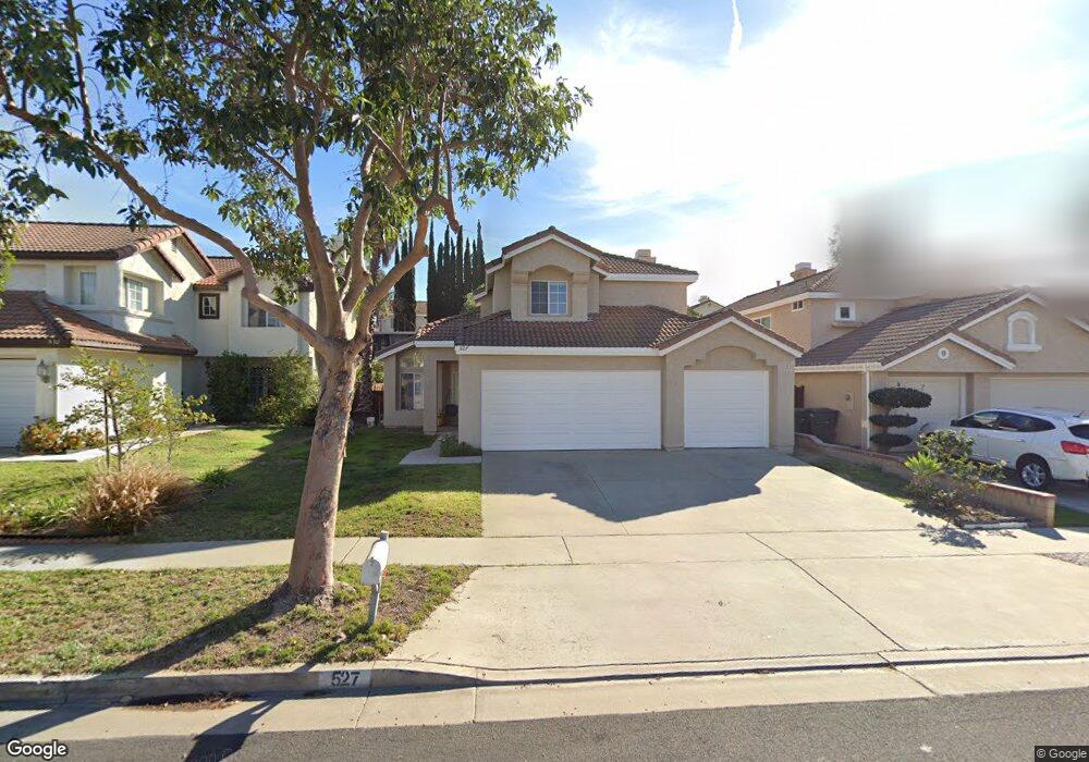
527 Harding Rd Corona, CA 92879
Corona Ranch NeighborhoodEstimated Value: $664,731 - $730,000
3
Beds
3
Baths
1,509
Sq Ft
$471/Sq Ft
Est. Value
About This Home
This home is located at 527 Harding Rd, Corona, CA 92879 and is currently estimated at $710,433, approximately $470 per square foot. 527 Harding Rd is a home located in Riverside County with nearby schools including Corona Ranch Elementary School, Auburndale Intermediate, and Centennial High School.
Ownership History
Date
Name
Owned For
Owner Type
Purchase Details
Closed on
Sep 19, 2024
Sold by
Mendoza Joe T and Mendoza Sandra I
Bought by
Mendoza Family Trust and Mendoza
Current Estimated Value
Purchase Details
Closed on
Feb 14, 2003
Sold by
Mcduffie Anthony and Mcduffie Precious Lee
Bought by
Mendoza Joe T and Mendoza Sandra I
Home Financials for this Owner
Home Financials are based on the most recent Mortgage that was taken out on this home.
Original Mortgage
$206,000
Interest Rate
5.82%
Purchase Details
Closed on
Jun 26, 1995
Sold by
Zeferjahn Brian Scott and Zeferjahn Patricia Theresa
Bought by
Mcduffie Anthony and Lee Mcduffie Precious
Home Financials for this Owner
Home Financials are based on the most recent Mortgage that was taken out on this home.
Original Mortgage
$134,867
Interest Rate
7.59%
Mortgage Type
FHA
Create a Home Valuation Report for This Property
The Home Valuation Report is an in-depth analysis detailing your home's value as well as a comparison with similar homes in the area
Home Values in the Area
Average Home Value in this Area
Purchase History
| Date | Buyer | Sale Price | Title Company |
|---|---|---|---|
| Mendoza Family Trust | -- | None Listed On Document | |
| Mendoza Joe T | $257,500 | Commonwealth Land Title Co | |
| Mcduffie Anthony | $136,500 | Orange Coast Title |
Source: Public Records
Mortgage History
| Date | Status | Borrower | Loan Amount |
|---|---|---|---|
| Previous Owner | Mendoza Joe T | $206,000 | |
| Previous Owner | Mcduffie Anthony | $134,867 |
Source: Public Records
Tax History
| Year | Tax Paid | Tax Assessment Tax Assessment Total Assessment is a certain percentage of the fair market value that is determined by local assessors to be the total taxable value of land and additions on the property. | Land | Improvement |
|---|---|---|---|---|
| 2025 | $4,187 | $372,918 | $94,126 | $278,792 |
| 2023 | $4,187 | $358,439 | $90,472 | $267,967 |
| 2022 | $4,058 | $351,412 | $88,699 | $262,713 |
| 2021 | $3,979 | $344,522 | $86,960 | $257,562 |
| 2020 | $3,936 | $340,991 | $86,069 | $254,922 |
| 2019 | $3,847 | $334,306 | $84,382 | $249,924 |
| 2018 | $3,763 | $327,752 | $82,728 | $245,024 |
| 2017 | $3,673 | $321,326 | $81,106 | $240,220 |
| 2016 | $3,638 | $315,026 | $79,516 | $235,510 |
| 2015 | $3,561 | $310,296 | $78,323 | $231,973 |
| 2014 | $3,435 | $304,220 | $76,790 | $227,430 |
Source: Public Records
Map
Nearby Homes
- 1455 Cresta Rd
- 1454 Cresta Rd
- 1850 Breckenridge Cir
- 1445 Del Norte Dr
- 545 Shenandoah Rd
- 458 Termino Ave
- 693 John Dr
- 747 Ochee Cir
- 748 Navarro Dr
- 768 Ochee Cir
- 703 Allen Dr
- 2156 Blazing St
- 729 La Docena Ln
- 867 Oso Dr
- 909 Heron Dr
- 4072 S Neece St
- 928 Allegre Dr
- 977 Montague Cir
- 2149 Tehachapi Dr
- 957 Allegre Dr
Your Personal Tour Guide
Ask me questions while you tour the home.