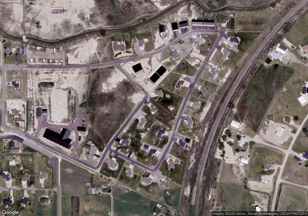
527 Lion St Billings, MT 59106
Estimated Value: $459,927 - $498,000
3
Beds
2
Baths
1,926
Sq Ft
$252/Sq Ft
Est. Value
About This Home
This home is located at 527 Lion St, Billings, MT 59106 and is currently estimated at $484,482, approximately $251 per square foot. 527 Lion St is a home located in Yellowstone County with nearby schools including Elder Grove Elementary School, Billings West High School, and Yellowstone Academy.
Ownership History
Date
Name
Owned For
Owner Type
Purchase Details
Closed on
Oct 28, 2010
Sold by
Britton Levi J and Britton Barbara L
Bought by
Greenfield Kraig D and Greenfield Ermie N
Current Estimated Value
Home Financials for this Owner
Home Financials are based on the most recent Mortgage that was taken out on this home.
Original Mortgage
$170,606
Outstanding Balance
$112,907
Interest Rate
4.33%
Mortgage Type
VA
Estimated Equity
$371,575
Create a Home Valuation Report for This Property
The Home Valuation Report is an in-depth analysis detailing your home's value as well as a comparison with similar homes in the area
Home Values in the Area
Average Home Value in this Area
Purchase History
| Date | Buyer | Sale Price | Title Company |
|---|---|---|---|
| Greenfield Kraig D | -- | None Available |
Source: Public Records
Mortgage History
| Date | Status | Borrower | Loan Amount |
|---|---|---|---|
| Open | Greenfield Kraig D | $170,606 |
Source: Public Records
Tax History Compared to Growth
Tax History
| Year | Tax Paid | Tax Assessment Tax Assessment Total Assessment is a certain percentage of the fair market value that is determined by local assessors to be the total taxable value of land and additions on the property. | Land | Improvement |
|---|---|---|---|---|
| 2025 | $2,817 | $443,100 | $68,358 | $374,742 |
| 2024 | $2,817 | $395,400 | $62,766 | $332,634 |
| 2023 | $2,859 | $395,400 | $62,766 | $332,634 |
| 2022 | $2,305 | $285,200 | $0 | $0 |
| 2021 | $2,522 | $285,200 | $0 | $0 |
| 2020 | $2,498 | $256,600 | $0 | $0 |
| 2019 | $2,427 | $256,600 | $0 | $0 |
| 2018 | $2,317 | $244,600 | $0 | $0 |
| 2017 | $1,652 | $244,600 | $0 | $0 |
| 2016 | $1,899 | $238,700 | $0 | $0 |
| 2015 | $1,833 | $238,700 | $0 | $0 |
| 2014 | $1,617 | $108,438 | $0 | $0 |
Source: Public Records
Map
Nearby Homes
- 7623 N Leopard Ave
- 7804 Monad Rd
- 7801 Monad Rd
- 615 Kenya Ct
- 7920 Eland Ave
- 7906 Monad Rd
- 7805 Penta Cir
- 329 S Homewood Park Dr
- 7824 Penta Cir
- 243 S 80th St W
- 545 Pike Ct
- 222 Zanes Cir
- 223 Zanes Cir
- 7202 White Pine Cir
- 7212 White Pine Cir
- 209 Zanes Cir
- Lot 5 Block 7 White Pine Cir
- TBD Central Avenue (Lot 7)
- TBD Central Avenue (Lot 6)
- 7213 White Pine Cir
- 521 Lion St
- 537 Lion St
- 600 Zebra St
- 518 Zebra St
- 7618 N Leopard Ave Unit 4 5 6
- 7618 N Leopard Suite 7 Ave
- 539 Zebra St
- 529 Zebra St
- 553 Lion St
- 612 Zebra St
- 7618 N Leopard Ave
- 7618 N Leopard Ave
- 7618 N Leopard Ave Unit & 7622
- 607 Zebra St
- 7612 N Leopard Ave
- 508 Zebra St
- 615 Zebra St
- 7619 N Leopard Ave
- 509 Zebra St
- 7606 S Leopard Ave
