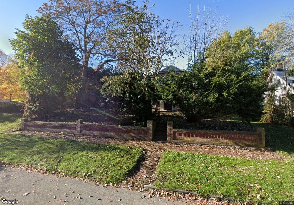
528 S Wayne St Kenton, OH 43326
Estimated Value: $96,655 - $111,000
3
Beds
1
Bath
1,216
Sq Ft
$85/Sq Ft
Est. Value
About This Home
This home is located at 528 S Wayne St, Kenton, OH 43326 and is currently estimated at $102,914, approximately $84 per square foot. 528 S Wayne St is a home located in Hardin County with nearby schools including Kenton Elementary School, Kenton Middle School, and Kenton High School.
Ownership History
Date
Name
Owned For
Owner Type
Purchase Details
Closed on
May 13, 2021
Sold by
County Of Hardin
Bought by
Bailey Jimmie R
Current Estimated Value
Purchase Details
Closed on
Oct 23, 2019
Bought by
State Of Ohio Forfeited Land
Purchase Details
Closed on
Jan 14, 2000
Bought by
Johnson William and Johnson Kaptol
Purchase Details
Closed on
Jun 14, 1993
Bought by
Scott David L and Scott Lori A
Purchase Details
Closed on
Mar 5, 1992
Create a Home Valuation Report for This Property
The Home Valuation Report is an in-depth analysis detailing your home's value as well as a comparison with similar homes in the area
Home Values in the Area
Average Home Value in this Area
Purchase History
| Date | Buyer | Sale Price | Title Company |
|---|---|---|---|
| Bailey Jimmie R | $11,200 | None Available | |
| State Of Ohio Forfeited Land | -- | -- | |
| Johnson William | $36,000 | -- | |
| Scott David L | $12,000 | -- | |
| -- | -- | -- |
Source: Public Records
Tax History
| Year | Tax Paid | Tax Assessment Tax Assessment Total Assessment is a certain percentage of the fair market value that is determined by local assessors to be the total taxable value of land and additions on the property. | Land | Improvement |
|---|---|---|---|---|
| 2024 | $789 | $17,590 | $2,220 | $15,370 |
| 2023 | $795 | $17,590 | $2,220 | $15,370 |
| 2022 | $629 | $13,010 | $1,540 | $11,470 |
| 2021 | $631 | $13,010 | $1,540 | $11,470 |
| 2020 | $551 | $13,010 | $1,540 | $11,470 |
| 2019 | $577 | $10,690 | $1,470 | $9,220 |
| 2018 | $554 | $10,690 | $1,470 | $9,220 |
| 2017 | $13,535 | $10,690 | $1,470 | $9,220 |
| 2016 | $594 | $12,460 | $1,630 | $10,830 |
| 2015 | $461 | $12,460 | $1,630 | $10,830 |
| 2014 | $8,862 | $12,460 | $1,630 | $10,830 |
| 2013 | $7,295 | $13,660 | $1,630 | $12,030 |
Source: Public Records
Map
Nearby Homes
- 639 S Main St
- 703 S Detroit St
- 508 Decatur St
- 510 Decatur St
- 226 S Wayne St
- 354 S Barron St
- 121 S High St
- 39 Grape St
- 820 King St
- 920 Cooper St
- 405 E Carroll St
- 405 E Carrol St Unit 405 1/2
- 501 East St
- 219 W Carrol St
- 233 N Main St
- 79 Broadway St
- 89 Broadway St
- 509 E North St
- 619 E North St
- 310 N Market St
Your Personal Tour Guide
Ask me questions while you tour the home.