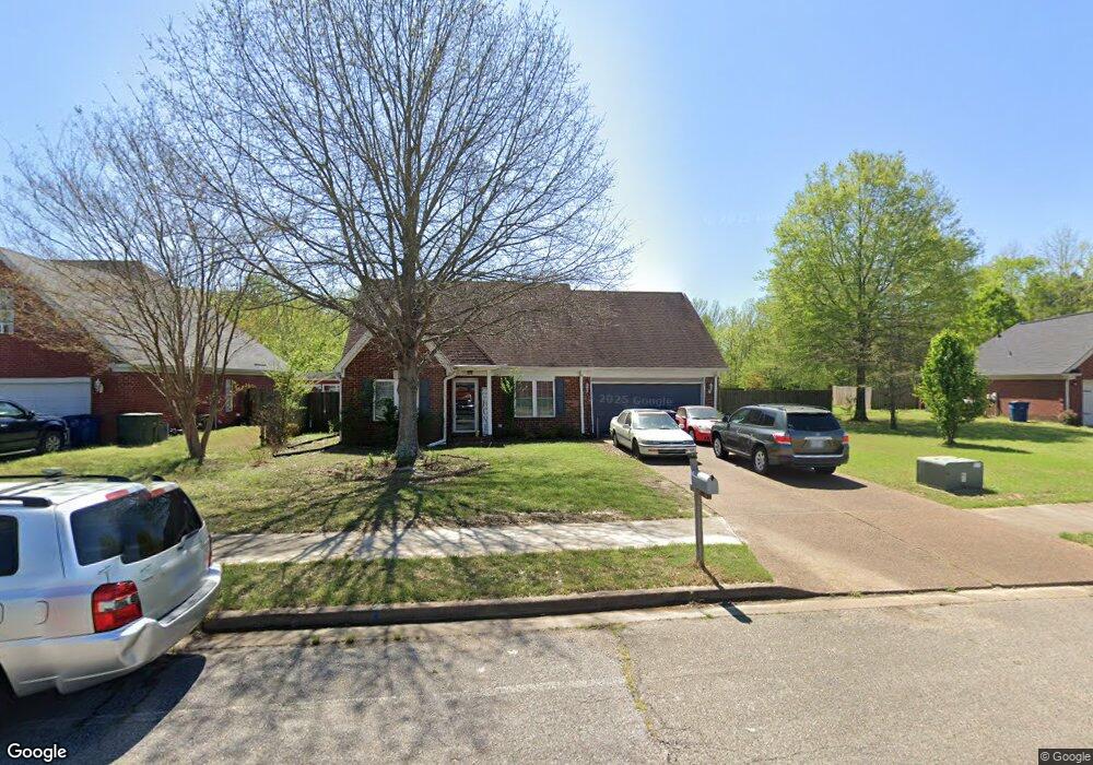
5283 Blocker St Olive Branch, MS 38654
Estimated Value: $262,000 - $297,000
4
Beds
3
Baths
1,972
Sq Ft
$145/Sq Ft
Est. Value
About This Home
This home is located at 5283 Blocker St, Olive Branch, MS 38654 and is currently estimated at $285,386, approximately $144 per square foot. 5283 Blocker St is a home located in DeSoto County with nearby schools including Olive Branch Elementary School, Chickasaw Elementary School, and Olive Branch Middle School.
Ownership History
Date
Name
Owned For
Owner Type
Purchase Details
Closed on
Aug 27, 2008
Sold by
Moore Brad C and Moore Kimberly L
Bought by
Thompson Alan and Thompson Theresa
Current Estimated Value
Home Financials for this Owner
Home Financials are based on the most recent Mortgage that was taken out on this home.
Original Mortgage
$98,300
Interest Rate
6.01%
Mortgage Type
Purchase Money Mortgage
Create a Home Valuation Report for This Property
The Home Valuation Report is an in-depth analysis detailing your home's value as well as a comparison with similar homes in the area
Home Values in the Area
Average Home Value in this Area
Purchase History
| Date | Buyer | Sale Price | Title Company |
|---|---|---|---|
| Thompson Alan | -- | None Available |
Source: Public Records
Mortgage History
| Date | Status | Borrower | Loan Amount |
|---|---|---|---|
| Previous Owner | Thompson Alan | $98,300 |
Source: Public Records
Tax History
| Year | Tax Paid | Tax Assessment Tax Assessment Total Assessment is a certain percentage of the fair market value that is determined by local assessors to be the total taxable value of land and additions on the property. | Land | Improvement |
|---|---|---|---|---|
| 2025 | $1,976 | $19,658 | $2,500 | $17,158 |
| 2024 | $1,659 | $14,355 | $2,500 | $11,855 |
| 2023 | $1,659 | $14,355 | $0 | $0 |
| 2022 | $1,659 | $14,355 | $2,500 | $11,855 |
| 2021 | $1,659 | $14,355 | $2,500 | $11,855 |
| 2020 | $1,520 | $13,334 | $2,500 | $10,834 |
| 2019 | $1,520 | $13,334 | $2,500 | $10,834 |
| 2017 | $1,481 | $23,458 | $12,979 | $10,479 |
| 2016 | $1,550 | $13,485 | $2,500 | $10,985 |
| 2015 | $1,850 | $24,470 | $13,485 | $10,985 |
| 2014 | $1,550 | $13,485 | $0 | $0 |
| 2013 | $1,496 | $13,485 | $0 | $0 |
Source: Public Records
Map
Nearby Homes
- 2914 Cypress Lake Dr S
- 9598 Nielsen Dr
- 10009 Lacey Dr
- 5956 Eagleston Dr
- 9784 Mosby Dr
- 0 Hacks Rd Unit 4132565
- 5930 Lee's Crossing St
- 6073 Allen Pkwy E
- 9271 Brooks Dr
- 5608 Marlin Place
- 5427 Highway 305 N
- 5295 Blocker St
- 7550 Old Highway 78
- 9893 Cherokee Dr
- 6180 Rd
- 9113 Rue Orleans Ln
- 9077 Rue Orleans Ln
- 10238 March Meadows Way
- 10254 March Meadows Way
- 4722 Alexander Rd
- 5305 Blocker St
- 5325 Blocker St
- 5600 Eagleston Dr
- 0 Blocker St
- 5619 Michaelson Dr
- 5586 Michaelson Dr
- 5620 Eagleston Dr
- 5600 Michaelson Dr
- 5360 Blocker St
- 5365 Blocker St
- 5633 Michaelson Dr
- 5614 Michaelson Dr
- 5634 Eagleston Dr
- 5628 Michaelson Dr
- 5396 Blocker St
- 5647 Michaelson Dr
- 5385 Blocker St
- 5631 Eagleston Dr
- 5648 Eagleston Dr
- 5642 Michaelson Dr
Your Personal Tour Guide
Ask me questions while you tour the home.