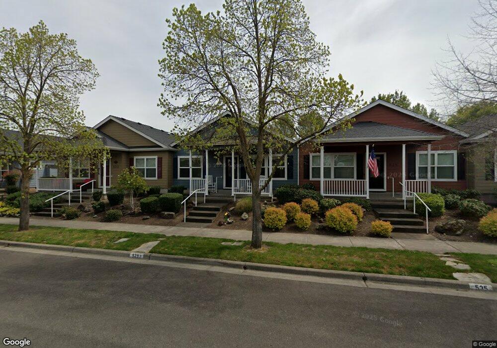
529 Blue Moon Dr Central Point, OR 97502
Estimated Value: $335,000 - $366,000
2
Beds
2
Baths
1,185
Sq Ft
$295/Sq Ft
Est. Value
About This Home
This home is located at 529 Blue Moon Dr, Central Point, OR 97502 and is currently estimated at $349,634, approximately $295 per square foot. 529 Blue Moon Dr is a home located in Jackson County with nearby schools including Richardson Elementary School, Scenic Middle School, and Crater High School.
Ownership History
Date
Name
Owned For
Owner Type
Purchase Details
Closed on
May 4, 2006
Sold by
W L Moore Construction Llc
Bought by
Stamps Charles R and Stamps Iona O
Current Estimated Value
Home Financials for this Owner
Home Financials are based on the most recent Mortgage that was taken out on this home.
Original Mortgage
$185,900
Outstanding Balance
$74,203
Interest Rate
1.25%
Mortgage Type
Negative Amortization
Estimated Equity
$275,431
Create a Home Valuation Report for This Property
The Home Valuation Report is an in-depth analysis detailing your home's value as well as a comparison with similar homes in the area
Home Values in the Area
Average Home Value in this Area
Purchase History
| Date | Buyer | Sale Price | Title Company |
|---|---|---|---|
| Stamps Charles R | $235,900 | Lawyers Title Ins | |
| W L Moore Construction Llc | $60,000 | Lawyers Title Ins |
Source: Public Records
Mortgage History
| Date | Status | Borrower | Loan Amount |
|---|---|---|---|
| Open | Stamps Charles R | $185,900 |
Source: Public Records
Tax History Compared to Growth
Tax History
| Year | Tax Paid | Tax Assessment Tax Assessment Total Assessment is a certain percentage of the fair market value that is determined by local assessors to be the total taxable value of land and additions on the property. | Land | Improvement |
|---|---|---|---|---|
| 2025 | $3,688 | $221,820 | $99,450 | $122,370 |
| 2024 | $3,688 | $215,360 | $96,550 | $118,810 |
| 2023 | $3,569 | $209,090 | $93,740 | $115,350 |
| 2022 | $3,486 | $209,090 | $93,740 | $115,350 |
| 2021 | $3,386 | $203,000 | $91,010 | $111,990 |
| 2020 | $3,287 | $197,090 | $88,360 | $108,730 |
| 2019 | $3,206 | $185,780 | $83,290 | $102,490 |
| 2018 | $3,109 | $180,370 | $80,870 | $99,500 |
| 2017 | $3,031 | $180,370 | $80,870 | $99,500 |
| 2016 | $2,942 | $170,020 | $76,240 | $93,780 |
| 2015 | $2,819 | $170,020 | $76,240 | $93,780 |
| 2014 | $2,747 | $160,270 | $71,870 | $88,400 |
Source: Public Records
Map
Nearby Homes
- 626 Griffin Oaks Dr
- 0 Boulder Ridge St
- 407 Silver Creek Dr
- 619 Palo Verde Way
- 1167 Boulder Ridge St
- 1134 Steamboat Dr
- 905 Comet Ave
- 1135 Shake Dr
- 342 Hazel St
- 4626 N Pacific Hwy
- 55 Crater Ln
- 526 Stone Pointe Dr
- 431 N 5th St
- 327 Brookhaven Dr
- 629 Bridge Creek Dr
- 366 Marian Ave Unit 39
- 426 Bridge Creek Dr
- 1317 River Run St
- 356 Marian Ave Unit 40
- 349 W Pine St
- 535 Blue Moon Dr
- 523 Blue Moon Dr
- 541 Blue Moon Dr
- 517 Blue Moon Dr
- 647 Blue Moon Dr
- 505 Blue Moon Dr
- 849 N Haskell St
- 653 Blue Moon Dr
- 530 Blue Moon Dr
- 841 N Haskell St
- 516 Blue Moon Dr
- 538 Blue Moon Dr
- 508 Blue Moon Dr
- 546 Blue Moon Dr
- 833 N Haskell St
- 659 Blue Moon Dr
- 552 Blue Moon Dr
- 825 N Haskell St
- 665 Blue Moon Dr
- 560 Blue Moon Dr