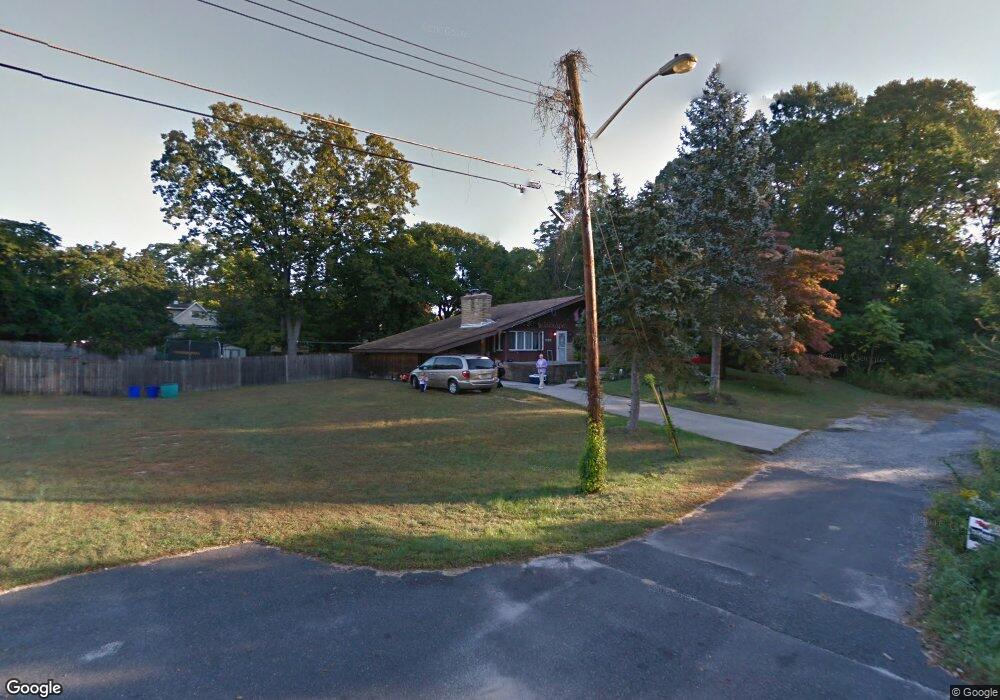
529 Bryant Ave Magnolia, NJ 08049
Estimated Value: $247,000 - $317,000
--
Bed
--
Bath
1,120
Sq Ft
$246/Sq Ft
Est. Value
About This Home
This home is located at 529 Bryant Ave, Magnolia, NJ 08049 and is currently estimated at $275,506, approximately $245 per square foot. 529 Bryant Ave is a home located in Camden County with nearby schools including Magnolia Elementary School and Sterling High School.
Ownership History
Date
Name
Owned For
Owner Type
Purchase Details
Closed on
Jul 8, 2005
Sold by
Kahler John A
Bought by
Ruoff Geremy and Ruoff Maria
Current Estimated Value
Home Financials for this Owner
Home Financials are based on the most recent Mortgage that was taken out on this home.
Original Mortgage
$147,682
Interest Rate
6.39%
Mortgage Type
FHA
Purchase Details
Closed on
Mar 22, 2002
Sold by
A G P Associates Inc
Bought by
Tony Gerard Associates Llc
Create a Home Valuation Report for This Property
The Home Valuation Report is an in-depth analysis detailing your home's value as well as a comparison with similar homes in the area
Home Values in the Area
Average Home Value in this Area
Purchase History
| Date | Buyer | Sale Price | Title Company |
|---|---|---|---|
| Ruoff Geremy | $152,000 | -- | |
| Tony Gerard Associates Llc | $5,000 | -- |
Source: Public Records
Mortgage History
| Date | Status | Borrower | Loan Amount |
|---|---|---|---|
| Previous Owner | Ruoff Geremy | $147,682 |
Source: Public Records
Tax History Compared to Growth
Tax History
| Year | Tax Paid | Tax Assessment Tax Assessment Total Assessment is a certain percentage of the fair market value that is determined by local assessors to be the total taxable value of land and additions on the property. | Land | Improvement |
|---|---|---|---|---|
| 2025 | $6,640 | $138,300 | $46,700 | $91,600 |
| 2024 | $6,478 | $138,300 | $46,700 | $91,600 |
| 2023 | $6,478 | $138,300 | $46,700 | $91,600 |
| 2022 | $6,309 | $138,300 | $46,700 | $91,600 |
| 2021 | $6,248 | $138,300 | $46,700 | $91,600 |
| 2020 | $6,129 | $138,300 | $46,700 | $91,600 |
| 2019 | $6,013 | $138,300 | $46,700 | $91,600 |
| 2018 | $5,892 | $138,300 | $46,700 | $91,600 |
| 2017 | $5,720 | $138,300 | $46,700 | $91,600 |
| 2016 | $5,560 | $138,300 | $46,700 | $91,600 |
| 2015 | $5,367 | $138,300 | $46,700 | $91,600 |
| 2014 | $5,291 | $138,300 | $46,700 | $91,600 |
Source: Public Records
Map
Nearby Homes
- 431 N White Horse Pike
- 348 Silk St
- 178 E Charleston Ave
- 203 E Monroe Ave
- 134 Maryland Ave
- 115 Gloucester Ave
- 130 E Evesham Ave
- 115 Phillips Ave
- 313 E Washington Ave
- 22 W Charleston Ave
- 412 S Charleston Ave
- 124 Warwick Rd S
- 128 W Evesham Ave
- 130 W Evesham Ave
- 316 E Washington Ave
- 265 S Charleston Ave
- 130 W Monroe Ave
- 27 Franklin Cir
- 69 Franklin Cir
- 104 W Adams Ave
- 528 Bryant Ave
- 525 Bryant Ave
- 130 Ashland Ave
- 122 Ashland Ave
- 134 Ashland Ave
- 526 Ashland Ave
- 519 Bryant Ave
- 524 Ashland Ave
- 516 Bryant Ave
- 518 Ashland Ave
- 115 Ashland Ave
- 514 Bryant Ave
- 113 Ashland Ave
- 515 Bryant Ave
- 123 Ashland Ave
- 5 River Run
- 131 Ashland Ave
- 328 Lincoln Ave
- 512 Ashland Ave
- 512 Bryant Ave