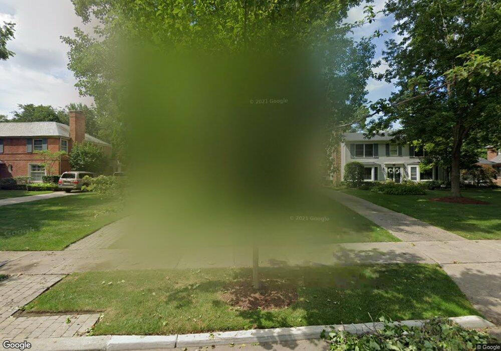
529 Middlesex Rd Grosse Pointe Park, MI 48230
Estimated Value: $748,744 - $1,068,000
Studio
5
Baths
3,699
Sq Ft
$242/Sq Ft
Est. Value
About This Home
This home is located at 529 Middlesex Rd, Grosse Pointe Park, MI 48230 and is currently estimated at $895,686, approximately $242 per square foot. 529 Middlesex Rd is a home located in Wayne County with nearby schools including Pierce Middle School, Grosse Pointe South High School, and Detroit Merit Charter Academy.
Ownership History
Date
Name
Owned For
Owner Type
Purchase Details
Closed on
Jul 18, 2019
Sold by
Wolfe Amy N
Bought by
Wolfe Bernard W and Wolfe Amy N
Current Estimated Value
Purchase Details
Closed on
Aug 26, 2005
Sold by
Wolfe Bernard W and Wolfe Amy N
Bought by
Wolfe Amy N and Amy N Wolfe Trust
Purchase Details
Closed on
Jan 25, 2000
Sold by
Baker Mary E
Bought by
Wolfe Amy N
Purchase Details
Closed on
Jun 1, 1994
Sold by
Marleine E Ricca Trst
Bought by
Michael W and Michael Mary Ellen
Create a Home Valuation Report for This Property
The Home Valuation Report is an in-depth analysis detailing your home's value as well as a comparison with similar homes in the area
Home Values in the Area
Average Home Value in this Area
Purchase History
| Date | Buyer | Sale Price | Title Company |
|---|---|---|---|
| Wolfe Bernard W | -- | None Available | |
| Wolfe Amy N | -- | None Available | |
| Wolfe Amy N | $780,000 | -- | |
| Michael W | -- | -- |
Source: Public Records
Tax History
| Year | Tax Paid | Tax Assessment Tax Assessment Total Assessment is a certain percentage of the fair market value that is determined by local assessors to be the total taxable value of land and additions on the property. | Land | Improvement |
|---|---|---|---|---|
| 2025 | $6,038 | $344,500 | $0 | $0 |
| 2024 | $5,812 | $326,100 | $0 | $0 |
| 2023 | $5,550 | $308,500 | $0 | $0 |
| 2022 | $5,273 | $241,300 | $0 | $0 |
| 2021 | $13,528 | $222,200 | $0 | $0 |
| 2019 | $10,699 | $217,700 | $0 | $0 |
| 2018 | $5,027 | $194,400 | $0 | $0 |
| 2017 | $11,247 | $160,900 | $0 | $0 |
| 2016 | $11,518 | $234,200 | $0 | $0 |
| 2015 | $20,790 | $228,500 | $0 | $0 |
| 2013 | $20,140 | $205,000 | $0 | $0 |
| 2012 | $5,726 | $216,100 | $73,300 | $142,800 |
Source: Public Records
Map
Nearby Homes
- 552 Middlesex Rd
- 636 Middlesex Rd
- 178 Ashland St
- 225 Ashland St
- 175 Ashland St
- 204 Philip St
- 784 Barrington Rd
- 785 Barrington Rd
- 504 Alter Rd
- 487 Philip St
- 222 Lakewood St
- 282 Newport St
- 243 Newport St
- 796 Harcourt Rd Unit 98
- 815 Harcourt Rd Unit 2
- 709 Ashland St
- 326 Eastlawn St
- 438 Newport St
- 814 Harcourt Rd Unit 816
- 503 Lakewood St
- 545 Middlesex Rd
- 525 Middlesex Rd
- 521 Middlesex Rd
- 553 Middlesex Rd Unit Bldg-Unit
- 553 Middlesex Rd
- 534 Lakepointe St
- 528 Lakepointe St
- 542 Lakepointe St
- 561 Middlesex Rd
- 524 Lakepointe St
- 550 Lakepointe St
- 515 Middlesex Rd
- 520 Lakepointe St
- 556 Lakepointe St
- 544 Middlesex Rd
- 567 Middlesex Rd
- 516 Lakepointe St
- 564 Lakepointe St
- 560 Middlesex Rd
- 15401 Windmill Pointe Dr
Your Personal Tour Guide
Ask me questions while you tour the home.