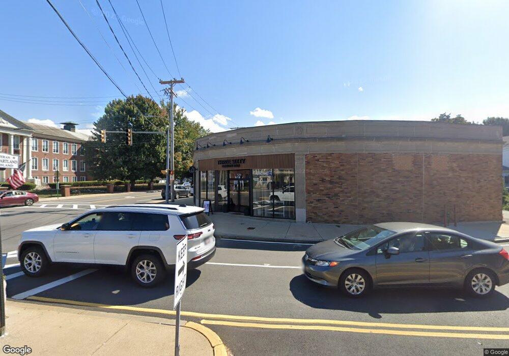
529 Washington St Unit left end Braintree, MA 02184
North Braintree NeighborhoodEstimated Value: $1,231,486
--
Bed
--
Bath
4,739
Sq Ft
$260/Sq Ft
Est. Value
About This Home
This home is located at 529 Washington St Unit left end, Braintree, MA 02184 and is currently estimated at $1,231,486, approximately $259 per square foot. 529 Washington St Unit left end is a home located in Norfolk County with nearby schools including Braintree High School, Meeting House Montessori School, and Thayer Academy.
Ownership History
Date
Name
Owned For
Owner Type
Purchase Details
Closed on
Feb 28, 2003
Sold by
Washington St Rt and Daly Evelyn V M
Bought by
535 Washington St Llc
Current Estimated Value
Home Financials for this Owner
Home Financials are based on the most recent Mortgage that was taken out on this home.
Original Mortgage
$420,000
Outstanding Balance
$181,875
Interest Rate
5.98%
Mortgage Type
Commercial
Estimated Equity
$1,049,611
Create a Home Valuation Report for This Property
The Home Valuation Report is an in-depth analysis detailing your home's value as well as a comparison with similar homes in the area
Home Values in the Area
Average Home Value in this Area
Purchase History
| Date | Buyer | Sale Price | Title Company |
|---|---|---|---|
| 535 Washington St Llc | $550,000 | -- |
Source: Public Records
Mortgage History
| Date | Status | Borrower | Loan Amount |
|---|---|---|---|
| Open | 535 Washington St Llc | $420,000 |
Source: Public Records
Tax History Compared to Growth
Tax History
| Year | Tax Paid | Tax Assessment Tax Assessment Total Assessment is a certain percentage of the fair market value that is determined by local assessors to be the total taxable value of land and additions on the property. | Land | Improvement |
|---|---|---|---|---|
| 2025 | $22,776 | $1,070,300 | $458,100 | $612,200 |
| 2024 | $20,511 | $1,012,900 | $437,300 | $575,600 |
| 2023 | $20,498 | $967,800 | $416,500 | $551,300 |
| 2022 | $19,672 | $909,500 | $400,900 | $508,600 |
| 2021 | $18,536 | $848,700 | $364,400 | $484,300 |
| 2020 | $18,510 | $848,700 | $364,400 | $484,300 |
| 2019 | $17,340 | $781,100 | $333,200 | $447,900 |
| 2018 | $17,520 | $749,700 | $301,900 | $447,800 |
| 2017 | $16,549 | $697,700 | $249,900 | $447,800 |
| 2016 | $17,205 | $697,700 | $249,900 | $447,800 |
| 2015 | $16,889 | $676,900 | $229,100 | $447,800 |
| 2014 | $16,334 | $626,800 | $208,200 | $418,600 |
Source: Public Records
Map
Nearby Homes
- 37 Monatiquot Ave
- 491 Washington St Unit 1
- 10 Cochato Rd
- 17 Judson St
- 175 West St
- 29 Norton St
- 78 Windemere Cir
- 8 Vinton Ave Unit 10
- 53 Parkside Ave
- 305 Franklin St
- 63 Dickerman Ln
- 65 Tremont St
- 14-20 Randall Ave
- 6 Franklin St
- 161 Cedar St
- 605 Middle St Unit 38
- 39 Morrison Rd
- 39 Lawnview Dr
- 54 Elmlawn Rd
- 9 Independence Ave Unit 105
- 531 Washington St Unit Middle
- 531 Washington St
- 16 West St
- 545 Washington St
- 15 West St Unit 17
- 15 West St Unit 15
- 17 West St Unit 17
- 17 West St
- 18 West St
- 549 Washington St
- 23 West St
- 9 Beverly Ct Unit 11
- 9-11 Beverly Ct
- 30 West St
- 550 Washington St
- 32 West St Unit 34
- 32 Wester
- 550 Washington St Unit 401
- 550 Washington St Unit 108
- 550 Washington St Unit 313