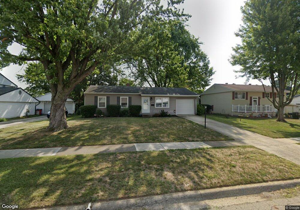
5290 Rampart Rd Columbus, OH 43207
Obetz-Lockbourne NeighborhoodEstimated Value: $209,251 - $231,000
3
Beds
1
Bath
888
Sq Ft
$247/Sq Ft
Est. Value
About This Home
This home is located at 5290 Rampart Rd, Columbus, OH 43207 and is currently estimated at $219,313, approximately $246 per square foot. 5290 Rampart Rd is a home located in Franklin County with nearby schools including Hamilton Elementary School, Hamilton Intermediate School, and Hamilton Middle School.
Ownership History
Date
Name
Owned For
Owner Type
Purchase Details
Closed on
Apr 13, 2006
Sold by
French Gerald G
Bought by
Walraven William and Jardine Scott
Current Estimated Value
Home Financials for this Owner
Home Financials are based on the most recent Mortgage that was taken out on this home.
Original Mortgage
$99,465
Outstanding Balance
$57,093
Interest Rate
6.34%
Mortgage Type
Fannie Mae Freddie Mac
Estimated Equity
$162,220
Purchase Details
Closed on
Oct 15, 2004
Sold by
Lloyd Mary Sue
Bought by
French Gerald G
Home Financials for this Owner
Home Financials are based on the most recent Mortgage that was taken out on this home.
Original Mortgage
$40,000
Interest Rate
5.81%
Mortgage Type
Purchase Money Mortgage
Purchase Details
Closed on
Jul 20, 1981
Bought by
Lloyd Harold E
Create a Home Valuation Report for This Property
The Home Valuation Report is an in-depth analysis detailing your home's value as well as a comparison with similar homes in the area
Home Values in the Area
Average Home Value in this Area
Purchase History
| Date | Buyer | Sale Price | Title Company |
|---|---|---|---|
| Walraven William | $104,700 | Title First | |
| French Gerald G | $65,000 | -- | |
| Lloyd Harold E | -- | -- |
Source: Public Records
Mortgage History
| Date | Status | Borrower | Loan Amount |
|---|---|---|---|
| Open | Walraven William | $99,465 | |
| Closed | French Gerald G | $40,000 |
Source: Public Records
Tax History Compared to Growth
Tax History
| Year | Tax Paid | Tax Assessment Tax Assessment Total Assessment is a certain percentage of the fair market value that is determined by local assessors to be the total taxable value of land and additions on the property. | Land | Improvement |
|---|---|---|---|---|
| 2024 | $2,729 | $58,280 | $17,850 | $40,430 |
| 2023 | $2,649 | $58,275 | $17,850 | $40,425 |
| 2022 | $1,583 | $29,200 | $6,270 | $22,930 |
| 2021 | $2,530 | $29,200 | $6,270 | $22,930 |
| 2020 | $2,890 | $29,200 | $6,270 | $22,930 |
| 2019 | $1,854 | $24,360 | $5,250 | $19,110 |
| 2018 | $1,605 | $24,360 | $5,250 | $19,110 |
| 2017 | $1,453 | $24,360 | $5,250 | $19,110 |
| 2016 | $1,608 | $24,860 | $6,270 | $18,590 |
| 2015 | $1,525 | $24,860 | $6,270 | $18,590 |
| 2014 | $1,517 | $24,860 | $6,270 | $18,590 |
| 2013 | $1,623 | $27,615 | $6,965 | $20,650 |
Source: Public Records
Map
Nearby Homes
- 5340 Edgeview Rd
- 5140 Meadowbrook Dr
- 5083 Meadowbrook Dr
- 920 Cherrydale Ave
- 5081 Lockbourne Rd
- 4917 Fishburn Ct
- 1059 Belford Ave
- 1031 Secrest Ave
- 1091 Secrest Ave
- 1291 Webb Dr Unit Lot 90
- 1099 Secrest Ave
- 1292 Webb Dr Unit Lot 83
- 1315 Webb Dr Unit Lot 93
- 353 Kear St
- 481 Wellsleyglen Dr
- 520 Wyndham Ridge Dr
- 4434 Butler Farms Dr
- 4175 Holstein Dr
- 4241 Gelbray Ct
- 785 Scarlett Ln
- 5284 Rampart Rd
- 5300 Rampart Rd
- 5299 Guthrie Ct
- 5297 Guthrie Ct
- 5274 Rampart Rd
- 5310 Rampart Rd
- 5289 Rampart Rd
- 5299 Rampart Rd
- 5311 Guthrie Rd
- 5283 Rampart Rd
- 5329 Guthrie Rd
- 5264 Rampart Rd
- 5303 Guthrie Rd
- 5309 Rampart Rd
- 5331 Guthrie Rd
- 5295 Guthrie Ct
- 5273 Rampart Rd
- 5339 Guthrie Rd
- 5301 Guthrie Rd
- 5313 Rampart Rd