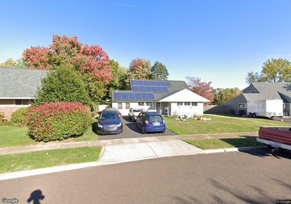
53 Deep Dale Dr E Levittown, PA 19056
Levittown AreaEstimated Value: $481,335 - $498,000
About This Home
This home is located at 53 Deep Dale Dr E, Levittown, PA 19056 and is currently estimated at $488,334, approximately $216 per square foot. 53 Deep Dale Dr E is a home located in Bucks County with nearby schools including Albert Schweitzer Elementary School, Sandburg Middle School, and Neshaminy High School.
Ownership History
We collect this data history from publicly available records. To have your information removed, we recommend requesting removal directly through your county’s website.
Purchase Details
Purchase Details
Home Financials for this Owner
Home Financials are based on the most recent Mortgage that was taken out on this home.Purchase Details
Home Financials for this Owner
Home Financials are based on the most recent Mortgage that was taken out on this home.Purchase Details
Purchase History
We collect this data history from publicly available records. To have your information removed, we recommend requesting removal directly through your county’s website.
| Date | Buyer | Sale Price | Title Company |
|---|---|---|---|
| -- | None Available | ||
| $255,000 | -- | ||
| $255,000 | -- | ||
| $115,000 | -- |
Mortgage History
We collect this data history from publicly available records. To have your information removed, we recommend requesting removal directly through your county’s website.
| Date | Status | Borrower | Loan Amount |
|---|---|---|---|
| Previous Owner | $145,000 |
Tax History
We collect this data history from publicly available records. To have your information removed, we recommend requesting removal directly through your county’s website.
| Year | Tax Paid | Tax Assessment Tax Assessment Total Assessment is a certain percentage of the fair market value that is determined by local assessors to be the total taxable value of land and additions on the property. | Land | Improvement |
|---|---|---|---|---|
| 2026 | $5,482 | $24,030 | $4,560 | $19,470 |
| 2025 | $5,231 | $24,030 | $4,560 | $19,470 |
| 2024 | $5,231 | $24,030 | $4,560 | $19,470 |
| 2023 | $5,148 | $24,030 | $4,560 | $19,470 |
| 2022 | $5,013 | $24,030 | $4,560 | $19,470 |
| 2021 | $5,013 | $24,030 | $4,560 | $19,470 |
| 2020 | $4,953 | $24,030 | $4,560 | $19,470 |
| 2019 | $4,675 | $23,200 | $4,560 | $18,640 |
| 2018 | $4,589 | $23,200 | $4,560 | $18,640 |
| 2017 | $4,472 | $23,200 | $4,560 | $18,640 |
| 2016 | $4,472 | $23,200 | $4,560 | $18,640 |
| 2015 | $4,662 | $23,200 | $4,560 | $18,640 |
| 2014 | $4,662 | $23,200 | $4,560 | $18,640 |
Map
- 12 Carriage Knoll Ct
- 201 Snowball Dr
- L:070 Trenton Rd
- 78 Forsythia Dr N
- 550 Gables Ct
- 11 High Rd
- 0 Fir Ave
- 43 Falcon Rd
- 313 Wyoming Ave
- 57 Rust Hill Rd
- 455 Snowball Dr
- 18 Forsythia Dr S
- 1440 Centre St
- 26 Forsythia Dr E
- 212 Apple St
- 24 Rose Apple Rd
- 430 Parkview Ave
- 95 Cardinal Rd
- 41 Crystal Place
- 77 Cardinal Rd
- 49 Deep Dale Dr E
- 45 Deep Dale Dr E
- 41 Deep Dale Dr E
- 48 Deep Dale Dr E
- 55 Deep Dale Dr E
- 55 Deep Dale Dr E Unit E
- 44 Deep Dale Dr E
- 56 Deep Dale Dr E
- 42 Deep Dale Dr E
- 59 Deep Dale Dr E
- 40 Deep Dale Dr E
- 4 Downhill Rd
- 14 Downhill Rd
- 10 Downhill Rd
- 18 Downhill Rd
- 2 Downhill Rd
- 61 Deep Dale Dr E
- 20 Downhill Rd
- 32 Deep Dale Dr E
- 65 Deep Dale Dr E
Ask me questions while you tour the home.