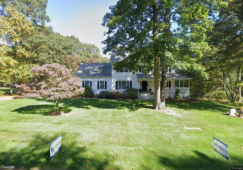
53 Doe Run Tolland, CT 06084
Estimated Value: $664,851 - $754,000
4
Beds
4
Baths
2,712
Sq Ft
$259/Sq Ft
Est. Value
About This Home
This home is located at 53 Doe Run, Tolland, CT 06084 and is currently estimated at $701,213, approximately $258 per square foot. 53 Doe Run is a home located in Tolland County with nearby schools including Tolland High School.
Ownership History
Date
Name
Owned For
Owner Type
Purchase Details
Closed on
Nov 24, 2021
Sold by
Trice Kenneth J
Bought by
Trice Kenneth J and Trice Teresa J
Current Estimated Value
Home Financials for this Owner
Home Financials are based on the most recent Mortgage that was taken out on this home.
Original Mortgage
$400,000
Outstanding Balance
$366,338
Interest Rate
3.14%
Mortgage Type
Stand Alone Refi Refinance Of Original Loan
Estimated Equity
$334,875
Purchase Details
Closed on
Nov 10, 1997
Sold by
B & L Development
Bought by
Trice Kenneth
Create a Home Valuation Report for This Property
The Home Valuation Report is an in-depth analysis detailing your home's value as well as a comparison with similar homes in the area
Home Values in the Area
Average Home Value in this Area
Purchase History
| Date | Buyer | Sale Price | Title Company |
|---|---|---|---|
| Trice Kenneth J | -- | Misc Company | |
| Trice Kenneth J | -- | None Available | |
| Trice Kenneth J | -- | Misc Company | |
| Trice Kenneth | $264,250 | -- | |
| Trice Kenneth | $264,250 | -- |
Source: Public Records
Mortgage History
| Date | Status | Borrower | Loan Amount |
|---|---|---|---|
| Open | Trice Kenneth J | $400,000 | |
| Closed | Trice Kenneth J | $400,000 | |
| Previous Owner | Trice Kenneth | $50,000 | |
| Previous Owner | Trice Kenneth | $235,500 | |
| Previous Owner | Trice Kenneth | $28,300 |
Source: Public Records
Tax History
| Year | Tax Paid | Tax Assessment Tax Assessment Total Assessment is a certain percentage of the fair market value that is determined by local assessors to be the total taxable value of land and additions on the property. | Land | Improvement |
|---|---|---|---|---|
| 2025 | $11,974 | $440,400 | $85,200 | $355,200 |
| 2024 | $10,942 | $289,700 | $81,200 | $208,500 |
| 2023 | $10,815 | $289,700 | $81,200 | $208,500 |
| 2022 | $10,597 | $289,700 | $81,200 | $208,500 |
| 2021 | $10,751 | $289,700 | $81,200 | $208,500 |
| 2020 | $10,444 | $289,700 | $81,200 | $208,500 |
| 2019 | $10,977 | $304,500 | $83,700 | $220,800 |
| 2018 | $10,658 | $304,500 | $83,700 | $220,800 |
| 2017 | $10,411 | $304,500 | $83,700 | $220,800 |
| 2016 | $10,411 | $304,500 | $83,700 | $220,800 |
| 2015 | $10,158 | $304,500 | $83,700 | $220,800 |
| 2014 | $9,818 | $316,200 | $93,000 | $223,200 |
Source: Public Records
Map
Nearby Homes
- 487 Buff Cap Rd
- 8 Neff Hill Rd
- 645 Buff Cap Rd
- 41 Neff Hill Rd
- 71 Neff Hill Rd
- 15 Usher Ridge
- 68 Usher Ridge
- 36 Usher Ridge
- 110 Neff Hill Rd
- 105 Neff Hill Rd
- 137 Neff Hill Rd
- 77 Neff Hill Rd
- 100 Neff Hill Rd
- 84 Neff Hill Rd
- 0 Tolland Turnpike
- 0 Tolland Stage Rd Unit 24101836
- 0 River Rd Unit 24120753
- 42 Ladd Rd
- 55 Kendall Mountain Rd
- 50 Buff Cap Rd
Your Personal Tour Guide
Ask me questions while you tour the home.