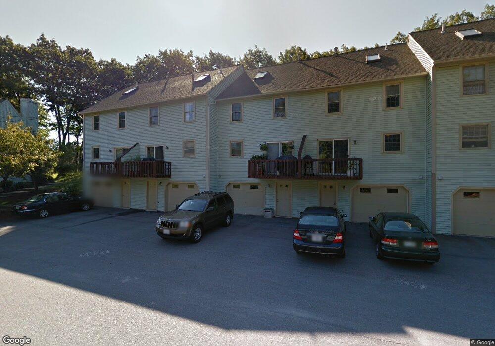
53 Glastonbury Dr Unit U112 Nashua, NH 03063
Northwest Nashua NeighborhoodEstimated Value: $405,000 - $419,980
2
Beds
2
Baths
1,380
Sq Ft
$297/Sq Ft
Est. Value
About This Home
This home is located at 53 Glastonbury Dr Unit U112, Nashua, NH 03063 and is currently estimated at $409,745, approximately $296 per square foot. 53 Glastonbury Dr Unit U112 is a home located in Hillsborough County with nearby schools including Broad Street Elementary School, Pennichuck Middle School, and Nashua High School North.
Ownership History
Date
Name
Owned For
Owner Type
Purchase Details
Closed on
Dec 10, 2007
Sold by
Meisch Christian J and Meisch Jennifer M
Bought by
Pollitt Derek A
Current Estimated Value
Home Financials for this Owner
Home Financials are based on the most recent Mortgage that was taken out on this home.
Original Mortgage
$80,000
Interest Rate
6.37%
Create a Home Valuation Report for This Property
The Home Valuation Report is an in-depth analysis detailing your home's value as well as a comparison with similar homes in the area
Home Values in the Area
Average Home Value in this Area
Purchase History
| Date | Buyer | Sale Price | Title Company |
|---|---|---|---|
| Pollitt Derek A | $221,000 | -- |
Source: Public Records
Mortgage History
| Date | Status | Borrower | Loan Amount |
|---|---|---|---|
| Open | Pollitt Derek A | $100,000 | |
| Closed | Pollitt Derek A | $85,000 | |
| Closed | Pollitt Derek A | $80,000 | |
| Previous Owner | Pollitt Derek A | $189,500 |
Source: Public Records
Tax History Compared to Growth
Tax History
| Year | Tax Paid | Tax Assessment Tax Assessment Total Assessment is a certain percentage of the fair market value that is determined by local assessors to be the total taxable value of land and additions on the property. | Land | Improvement |
|---|---|---|---|---|
| 2024 | $5,921 | $372,400 | $0 | $372,400 |
| 2023 | $5,684 | $311,800 | $0 | $311,800 |
| 2022 | $5,634 | $311,800 | $0 | $311,800 |
| 2021 | $5,099 | $219,600 | $0 | $219,600 |
| 2020 | $4,965 | $219,600 | $0 | $219,600 |
| 2019 | $4,778 | $219,600 | $0 | $219,600 |
| 2018 | $4,658 | $219,600 | $0 | $219,600 |
| 2017 | $3,835 | $148,700 | $0 | $148,700 |
| 2016 | $3,728 | $148,700 | $0 | $148,700 |
| 2015 | $3,648 | $148,700 | $0 | $148,700 |
| 2014 | $3,576 | $148,700 | $0 | $148,700 |
Source: Public Records
Map
Nearby Homes
- 38 Highbridge Hill Rd Unit 186
- 26 Andover Down Unit 276
- 123 Cannongate III
- 75 Deerwood Dr Unit B
- 5 Dumaine Ave Unit B
- 5 Dumaine Ave Unit N
- 77 Deerwood Dr Unit E
- 66 Tinker Rd
- 58 Profile Cir
- 74 Profile Cir
- 218 Millwright Dr Unit 218
- 201 Millwright Dr
- 3 Roedean Dr Unit C-207
- 2 New Haven Dr Unit E303
- 47 Hanna Cir Unit 47
- 47 Hanna Cir
- 7 Robert Dr
- 33 Ferry Rd
- 5 Chatfield Dr Unit U18
- 19 Dunloggin Rd
- 51 Glastonbury Dr Unit U111
- 55 Glastonbury Dr Unit U113
- 57 Glastonbury Dr Unit U114
- 49 Glastonbury Dr Unit U110
- 47 Glastonbury Dr Unit U109
- 59 Glastonbury Dr Unit 115
- 59 Glastonbury Dr Unit U115
- 61 Glastonbury Dr Unit U116
- 63 Glastonbury Dr Unit U117
- 65 Glastonbury Dr Unit U118
- 67 Glastonbury Dr Unit U119
- 69 Glastonbury Dr Unit U120
- 43 Glastonbury Dr Unit U108
- 41 Glastonbury Dr Unit U107
- 27 Windemere Way Unit U156
- 25 Windemere Way Unit U155
- 4 Highbridge Hill Rd Unit 172
- 21 Windemere Way Unit U153
- 19 Windemere Way Unit U152
- 39 Glastonbury Dr Unit U106