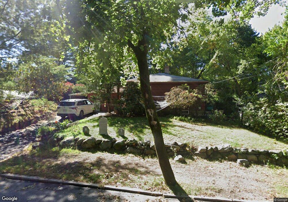
53 Pierrepont Rd Newton Lower Falls, MA 02462
Newton Lower Falls NeighborhoodEstimated Value: $849,000 - $990,720
2
Beds
1
Bath
830
Sq Ft
$1,094/Sq Ft
Est. Value
About This Home
This home is located at 53 Pierrepont Rd, Newton Lower Falls, MA 02462 and is currently estimated at $907,680, approximately $1,093 per square foot. 53 Pierrepont Rd is a home located in Middlesex County with nearby schools including Williams Elementary School, Angier Elementary School, and Charles E Brown Middle School.
Ownership History
Date
Name
Owned For
Owner Type
Purchase Details
Closed on
Aug 2, 2006
Sold by
Salvucci Cesidio P
Bought by
Prell David J and Dampier Sacheen
Current Estimated Value
Home Financials for this Owner
Home Financials are based on the most recent Mortgage that was taken out on this home.
Original Mortgage
$335,200
Outstanding Balance
$199,549
Interest Rate
6.7%
Mortgage Type
Purchase Money Mortgage
Estimated Equity
$708,131
Create a Home Valuation Report for This Property
The Home Valuation Report is an in-depth analysis detailing your home's value as well as a comparison with similar homes in the area
Home Values in the Area
Average Home Value in this Area
Purchase History
| Date | Buyer | Sale Price | Title Company |
|---|---|---|---|
| Prell David J | $419,000 | -- |
Source: Public Records
Mortgage History
| Date | Status | Borrower | Loan Amount |
|---|---|---|---|
| Open | Prell David J | $335,200 |
Source: Public Records
Tax History Compared to Growth
Tax History
| Year | Tax Paid | Tax Assessment Tax Assessment Total Assessment is a certain percentage of the fair market value that is determined by local assessors to be the total taxable value of land and additions on the property. | Land | Improvement |
|---|---|---|---|---|
| 2025 | $7,250 | $739,800 | $0 | $0 |
| 2024 | $7,011 | $0 | $0 | $0 |
| 2023 | $6,606 | $648,900 | $574,700 | $74,200 |
| 2022 | $6,320 | $600,800 | $532,100 | $68,700 |
| 2021 | $6,099 | $566,800 | $502,000 | $64,800 |
| 2020 | $5,917 | $566,800 | $502,000 | $64,800 |
| 2019 | $5,751 | $550,300 | $487,400 | $62,900 |
| 2018 | $5,197 | $480,300 | $439,100 | $41,200 |
| 2017 | $5,038 | $453,100 | $414,200 | $38,900 |
| 2016 | $4,819 | $423,500 | $387,100 | $36,400 |
| 2015 | $4,595 | $395,800 | $361,800 | $34,000 |
Source: Public Records
Map
Nearby Homes
- 17 Deforest Rd
- 45 Moulton St
- 2084 Washington St
- 25 Columbia St
- 45 E Quinobequin Rd
- 27 Oakwood Rd
- 34 Palmer Rd
- 7 Crescent St
- 10 Lorraine Cir
- 177 Varick Rd
- 17 Lasell St
- 33 Metacomet Rd
- 41 Orchard Ave
- 2 Longfellow Rd
- 283 Woodland Rd
- 1754 Washington St
- 135 Orchard Ave
- 8 Old Town Rd
- 2202 Commonwealth Ave Unit 2
- 2202 Commonwealth Ave Unit 1
- 49 Pierrepont Rd
- 63 Pierrepont Rd
- 63 Pierrepont Rd Unit 1
- 20 Asheville Rd
- 24 Asheville Rd
- 10 Asheville Rd
- 56 Pierrepont Rd
- 57 Crehore Dr
- 57 Crehore Dr Unit 57
- 50 Pierrepont Rd
- 62 Pierrepont Rd
- 491 Grove St
- 51 Crehore Dr
- 30 Asheville Rd
- 30 Asheville Rd Unit 1
- 25 Asheville Rd
- 5 Hallron Rd
- 477 Grove St
- 45 Deforest Rd
- 9 Asheville Rd