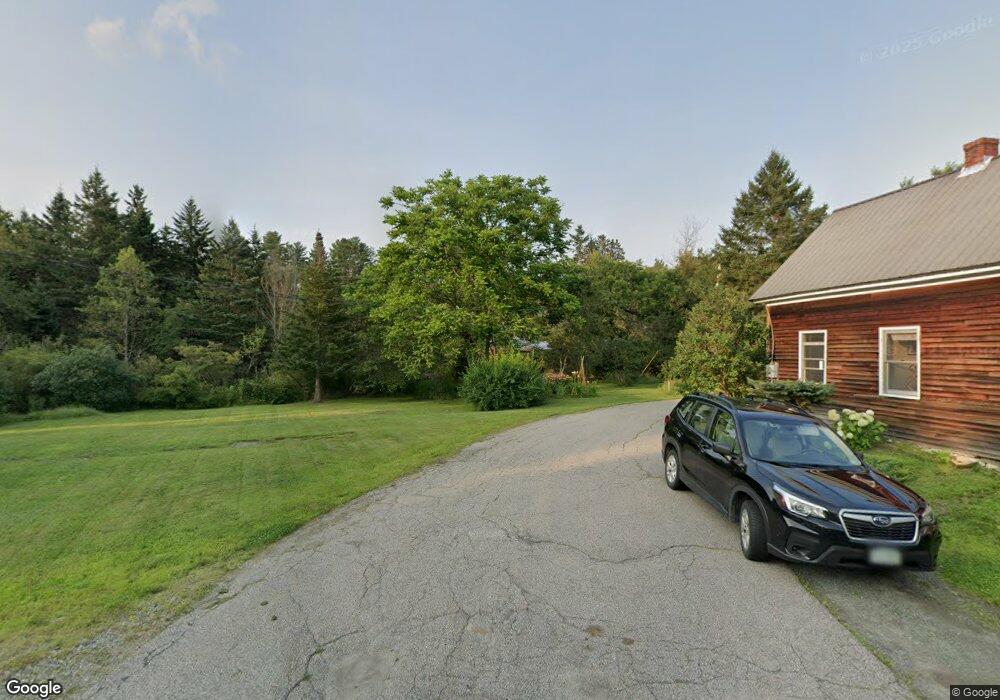
53 Riverside Dr Whitefield, NH 03598
Estimated Value: $208,000 - $843,000
5
Beds
3
Baths
1,680
Sq Ft
$314/Sq Ft
Est. Value
About This Home
This home is located at 53 Riverside Dr, Whitefield, NH 03598 and is currently estimated at $527,403, approximately $313 per square foot. 53 Riverside Dr is a home with nearby schools including Whitefield Elementary School and White Mountains Regional High School.
Ownership History
Date
Name
Owned For
Owner Type
Purchase Details
Closed on
Aug 11, 2021
Sold by
Poche Michael S and Poche Marjorie K
Bought by
Summit Lt
Current Estimated Value
Purchase Details
Closed on
Dec 13, 2017
Sold by
Nicholas W Genimatas R
Bought by
Poche Michael S and Poche Marjorie K
Home Financials for this Owner
Home Financials are based on the most recent Mortgage that was taken out on this home.
Original Mortgage
$418,400
Interest Rate
3.94%
Mortgage Type
New Conventional
Create a Home Valuation Report for This Property
The Home Valuation Report is an in-depth analysis detailing your home's value as well as a comparison with similar homes in the area
Purchase History
| Date | Buyer | Sale Price | Title Company |
|---|---|---|---|
| Summit Lt | -- | None Available | |
| Poche Michael S | $523,000 | -- |
Source: Public Records
Mortgage History
| Date | Status | Borrower | Loan Amount |
|---|---|---|---|
| Previous Owner | Poche Michael S | $418,400 |
Source: Public Records
Tax History
| Year | Tax Paid | Tax Assessment Tax Assessment Total Assessment is a certain percentage of the fair market value that is determined by local assessors to be the total taxable value of land and additions on the property. | Land | Improvement |
|---|---|---|---|---|
| 2025 | $6,276 | $519,500 | $225,000 | $294,500 |
| 2024 | $6,182 | $519,500 | $225,000 | $294,500 |
| 2023 | $6,405 | $519,500 | $225,000 | $294,500 |
| 2022 | $6,276 | $517,800 | $225,000 | $292,800 |
| 2021 | $7,090 | $370,600 | $156,600 | $214,000 |
| 2020 | $7,875 | $370,600 | $156,600 | $214,000 |
| 2019 | $7,412 | $370,600 | $156,600 | $214,000 |
| 2018 | $7,297 | $370,600 | $156,600 | $214,000 |
| 2015 | $7,727 | $406,029 | $187,500 | $218,529 |
| 2011 | $5,878 | $433,790 | $202,000 | $231,790 |
Source: Public Records
Map
Nearby Homes
- 254 Crawford Ridge Rd Unit 3
- 30 Forest Ln Unit 19
- 1503 U S 302
- 72 Appleby Close Unit 41
- 35 Hartford Lane Extension Unit 79
- 00 Tuttlebrook Rd Unit 5
- 213 Route 3 N
- 00 Little River Rd Unit 80
- 330 U S 302
- 264 Parker Rd
- TBD Little River Rd
- 167 Grandpa Harry's Ln
- 1478 Route 3 N
- 00 Beechwood Dr Unit 11.3
- 000 Ledgewood Dr Unit 9.8
- 1502 US Route 2
- 69 Casey Ln
- 0 Presidential Hwy Unit 23669413
- 103 River Rd
- 00 Meadows Rd Unit Lot Map 8 Lot 4c 2
- 53 Rivers Edge Rd Unit ID1248495P
- 79 Rivers Edge Rd Unit ID1248490P
- 79 Rivers Edge Rd
- 80 Rivers Edge Rd
- 51 Riverside Dr
- 87 Rivers Edge Rd
- #9 Rivers Edge Rd
- 90 Rivers Edge Rd
- 254 Crawford Ridge Rd Unit ID1248498P
- 53 Avalon Dr Unit 15
- 11 Crawford Ridge Rd
- 80 Riverside Dr
- 54 Riverside Dr
- 51 Rivers Edge Rd
- 00 Rivers Edge Rd Unit 10
- LOT 8 Rivers Edge Rd
- 40 Rivers Edge Rd
- 287 Crawford Ridge Rd Unit ID1248132P
- 287 Crawford Ridge Rd Unit ID1248507P
- 259 Crawford Ridge Rd Unit 9
Your Personal Tour Guide
Ask me questions while you tour the home.