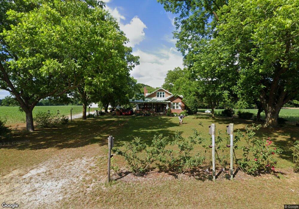
530 Kitty Fork Rd Clinton, NC 28328
Estimated Value: $319,000 - $576,224
3
Beds
1
Bath
1,492
Sq Ft
$265/Sq Ft
Est. Value
About This Home
This home is located at 530 Kitty Fork Rd, Clinton, NC 28328 and is currently estimated at $394,806, approximately $264 per square foot. 530 Kitty Fork Rd is a home located in Sampson County with nearby schools including Langdon C. Kerr Elementary School, Sunset Avenue Elementary School, and Butler Avenue Elementary School.
Ownership History
Date
Name
Owned For
Owner Type
Purchase Details
Closed on
Jun 3, 2014
Sold by
Adams Robert Wayne
Bought by
Adams Robert Wayne and Adams Anne Morris
Current Estimated Value
Purchase Details
Closed on
Mar 12, 2007
Sold by
Lockamy Flora H
Bought by
Adams Robert Wayne
Home Financials for this Owner
Home Financials are based on the most recent Mortgage that was taken out on this home.
Original Mortgage
$240,000
Outstanding Balance
$23,522
Interest Rate
6.19%
Mortgage Type
Future Advance Clause Open End Mortgage
Estimated Equity
$371,284
Create a Home Valuation Report for This Property
The Home Valuation Report is an in-depth analysis detailing your home's value as well as a comparison with similar homes in the area
Purchase History
| Date | Buyer | Sale Price | Title Company |
|---|---|---|---|
| Adams Robert Wayne | -- | None Available | |
| Adams Robert Wayne | $231,000 | -- |
Source: Public Records
Mortgage History
| Date | Status | Borrower | Loan Amount |
|---|---|---|---|
| Open | Adams Robert Wayne | $240,000 |
Source: Public Records
Tax History
| Year | Tax Paid | Tax Assessment Tax Assessment Total Assessment is a certain percentage of the fair market value that is determined by local assessors to be the total taxable value of land and additions on the property. | Land | Improvement |
|---|---|---|---|---|
| 2025 | $2,308 | $256,481 | $0 | $0 |
| 2024 | $2,114 | $257,804 | $0 | $0 |
| 2023 | $1,693 | $158,201 | $0 | $0 |
| 2022 | $1,693 | $158,201 | $0 | $0 |
| 2021 | $1,693 | $158,201 | $0 | $0 |
| 2020 | $1,693 | $158,201 | $0 | $0 |
| 2019 | $1,656 | $158,201 | $0 | $0 |
| 2018 | $1,707 | $163,071 | $0 | $0 |
| 2017 | $1,707 | $163,071 | $0 | $0 |
| 2016 | $1,716 | $163,071 | $0 | $0 |
| 2015 | $1,716 | $163,071 | $0 | $0 |
| 2014 | $1,709 | $163,071 | $0 | $0 |
Source: Public Records
Map
Nearby Homes
- 177 Country Cove Ln
- 176 Country Cove Ln
- 1000 High House Rd
- 2304 5 Bridge Rd
- 496 Hondros Rd
- 129 Cedar Lake Ln
- 107 Sunny Acres Ln
- 3014 Basstown Rd
- 101 Sunny Acres Ln
- 103 Sunny Acres Ln
- 105 Sunny Acres Ln
- 108 Sunny Acres Ln
- 104 Sunny Acres Ln
- 480 5 Bridge Rd
- 0 Renfrow Rd
- 100 North Blvd
- 730 Northwest Blvd
- 623 Isaac Weeks Rd
- 31 Abron St
- 410 Coharie Dr
- 537 Kitty Fork Rd
- 667 Kitty Fork Rd
- 45 Idlewood Ln
- 379 Kitty Fork Rd
- 4961 N Us 421 Hwy
- 4961 U S 421
- 701 Kitty Fork Rd
- 312 Kitty Fork Rd
- 4921 N Us 421 Hwy
- 5150 N Us 421 Hwy
- 325 Kitty Fork Rd
- 4940 N Us 421 Hwy
- 1 High House Rd
- 249 Kitty Fork Rd
- 210 Kitty Fork Rd
- 4815 N Us 421 Hwy
- 249 Beaverdam Rd
- 904 Kitty Fork Rd
- 129 Beaverdam Rd
- 184 Kitty Fork Rd
Your Personal Tour Guide
Ask me questions while you tour the home.