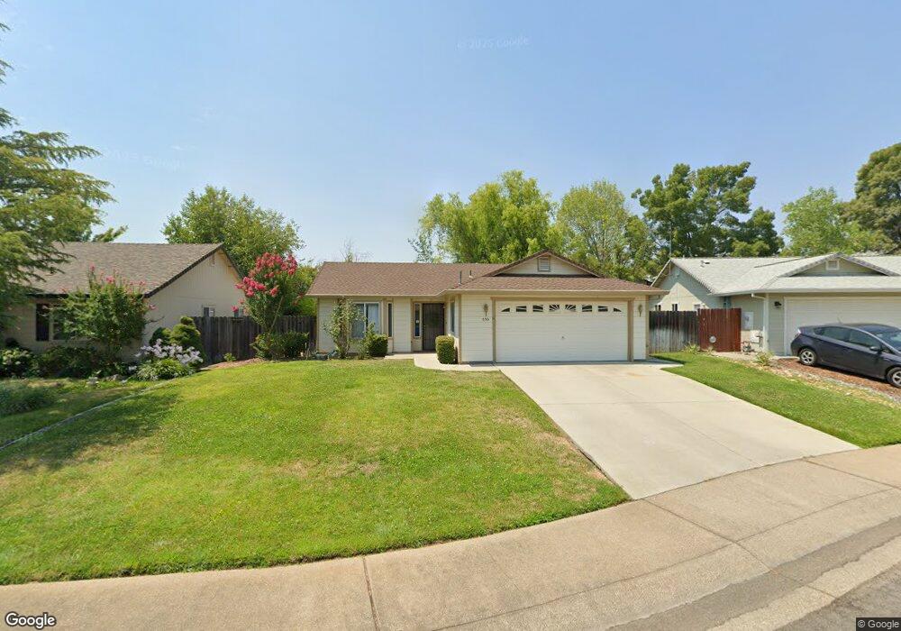
530 Viewpoint Dr Redding, CA 96003
Tanglewood NeighborhoodEstimated Value: $290,000 - $344,000
3
Beds
2
Baths
1,160
Sq Ft
$266/Sq Ft
Est. Value
About This Home
This home is located at 530 Viewpoint Dr, Redding, CA 96003 and is currently estimated at $308,112, approximately $265 per square foot. 530 Viewpoint Dr is a home located in Shasta County with nearby schools including Boulder Creek Elementary School, Enterprise High School, and Country Christian School.
Ownership History
Date
Name
Owned For
Owner Type
Purchase Details
Closed on
Dec 23, 2019
Sold by
Day Myrna M
Bought by
Day Lonnie L and Day Myrna M
Current Estimated Value
Purchase Details
Closed on
Mar 22, 2017
Sold by
Hightower Duane H
Bought by
Dawy Mayna Marie
Purchase Details
Closed on
Aug 3, 1998
Sold by
Shearing Don
Bought by
Hightower Duane H and Hightower Marie Z
Create a Home Valuation Report for This Property
The Home Valuation Report is an in-depth analysis detailing your home's value as well as a comparison with similar homes in the area
Home Values in the Area
Average Home Value in this Area
Purchase History
| Date | Buyer | Sale Price | Title Company |
|---|---|---|---|
| Day Lonnie L | -- | None Available | |
| Day Myrna M | -- | None Available | |
| Dawy Mayna Marie | -- | None Available | |
| Hightower Duane H | $93,000 | Redding Title Company |
Source: Public Records
Tax History
| Year | Tax Paid | Tax Assessment Tax Assessment Total Assessment is a certain percentage of the fair market value that is determined by local assessors to be the total taxable value of land and additions on the property. | Land | Improvement |
|---|---|---|---|---|
| 2025 | $1,605 | $145,768 | $37,610 | $108,158 |
| 2024 | $1,582 | $142,911 | $36,873 | $106,038 |
| 2023 | $1,582 | $140,109 | $36,150 | $103,959 |
| 2022 | $1,537 | $137,363 | $35,442 | $101,921 |
| 2021 | $1,485 | $134,671 | $34,748 | $99,923 |
| 2020 | $1,478 | $133,291 | $34,392 | $98,899 |
| 2019 | $1,466 | $130,678 | $33,718 | $96,960 |
| 2018 | $1,449 | $128,116 | $33,057 | $95,059 |
| 2017 | $1,423 | $125,605 | $32,409 | $93,196 |
| 2016 | $1,333 | $123,143 | $31,774 | $91,369 |
| 2015 | $1,321 | $121,294 | $31,297 | $89,997 |
| 2014 | $1,310 | $118,919 | $30,684 | $88,235 |
Source: Public Records
Map
Nearby Homes
- 651 Mission de Oro Dr
- 771 Flower Ash Ln
- 592 Mill Valley Pkwy
- 531 Fair Hill Dr
- 856 Mission de Oro Dr
- 825 Mission Sierra Ct
- 667 Reddington Dr
- 707 Alamine Dr
- 790 Volcano View Trail
- 639 Alamine Dr
- 720 Stonebriar Trail
- 775 Stonebriar Trail
- 1026 Palisades Ave
- 724 Oakhurst Trail
- 1088 Burton Dr
- 454 Alamine Dr
- 1285 Lancers Ln
- 1110 Grouse Dr
- 225 Ridgetop Dr Unit 214
- 11037 Erickson Way
- 540 Viewpoint Dr
- 520 Viewpoint Dr
- 861 Montcrest Dr
- 855 Montcrest#25
- 855 Montcrest Dr
- 867 Montcrest Dr
- 550 Viewpoint Dr
- 485 Viewpoint Dr
- 849 Montcrest Dr
- 510 Viewpoint Dr
- 873 Montcrest Dr
- 560 Viewpoint Dr
- 545 Viewpoint Dr
- 490 Viewpoint Dr
- 879 Montcrest Dr
- 475 Viewpoint Dr
- 555 Viewpoint Dr
- 480 Viewpoint Dr
- 570 Viewpoint Dr
- 985 Domain Way
Your Personal Tour Guide
Ask me questions while you tour the home.