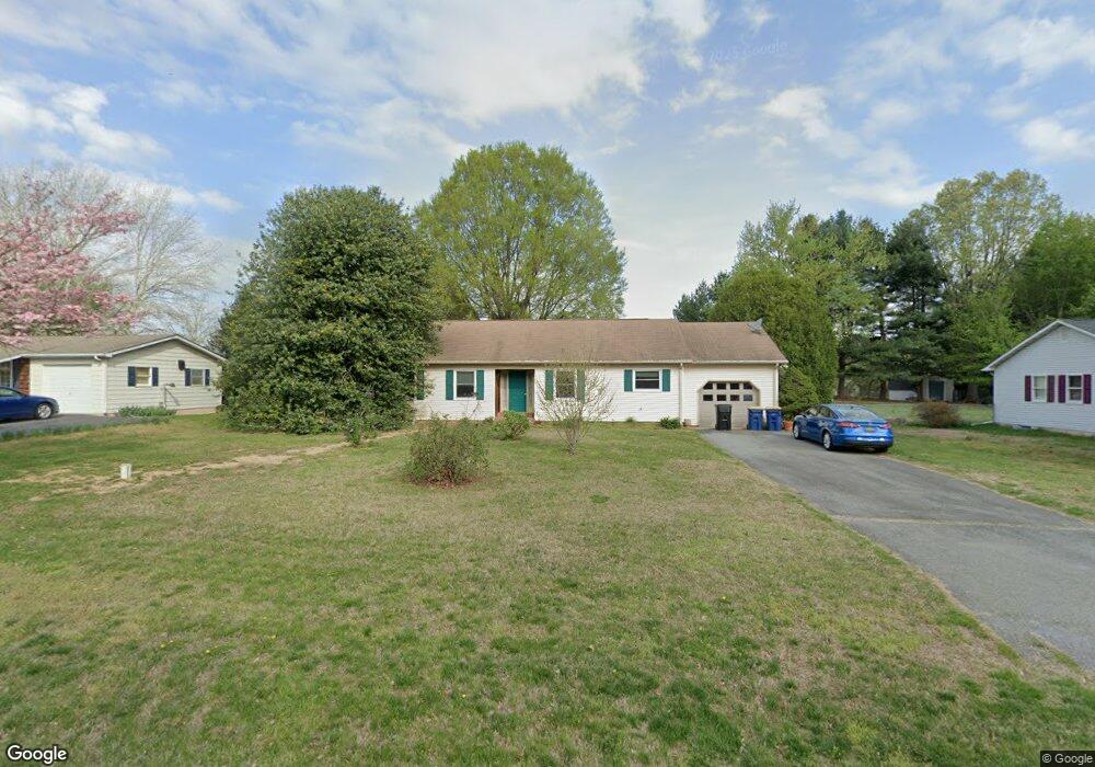
531 Banning Rd Camden Wyoming, DE 19934
Rising Sun-Lebanon NeighborhoodEstimated Value: $323,000 - $343,000
3
Beds
2
Baths
1,276
Sq Ft
$259/Sq Ft
Est. Value
About This Home
This home is located at 531 Banning Rd, Camden Wyoming, DE 19934 and is currently estimated at $329,982, approximately $258 per square foot. 531 Banning Rd is a home located in Kent County with nearby schools including Star Hill Elementary School, F. Niel Postlethwait Middle School, and Caesar Rodney High School.
Ownership History
Date
Name
Owned For
Owner Type
Purchase Details
Closed on
Jun 25, 2012
Sold by
Nelson Bruce A and Pugh Heidi
Bought by
Nelson Bruce A
Current Estimated Value
Home Financials for this Owner
Home Financials are based on the most recent Mortgage that was taken out on this home.
Original Mortgage
$189,882
Outstanding Balance
$131,753
Interest Rate
3.78%
Mortgage Type
New Conventional
Estimated Equity
$198,229
Purchase Details
Closed on
Apr 15, 2008
Sold by
Cahill Catherine
Bought by
Nelson Bruce A and Phillipson Heidi
Home Financials for this Owner
Home Financials are based on the most recent Mortgage that was taken out on this home.
Original Mortgage
$198,900
Interest Rate
6.22%
Mortgage Type
Purchase Money Mortgage
Create a Home Valuation Report for This Property
The Home Valuation Report is an in-depth analysis detailing your home's value as well as a comparison with similar homes in the area
Home Values in the Area
Average Home Value in this Area
Purchase History
| Date | Buyer | Sale Price | Title Company |
|---|---|---|---|
| Nelson Bruce A | $21,650 | None Available | |
| Nelson Bruce A | $195,000 | None Available |
Source: Public Records
Mortgage History
| Date | Status | Borrower | Loan Amount |
|---|---|---|---|
| Open | Nelson Bruce A | $189,882 | |
| Previous Owner | Nelson Bruce A | $198,900 |
Source: Public Records
Tax History Compared to Growth
Tax History
| Year | Tax Paid | Tax Assessment Tax Assessment Total Assessment is a certain percentage of the fair market value that is determined by local assessors to be the total taxable value of land and additions on the property. | Land | Improvement |
|---|---|---|---|---|
| 2025 | $1,479 | $279,000 | $95,600 | $183,400 |
| 2024 | $1,479 | $279,000 | $95,600 | $183,400 |
| 2023 | $1,458 | $43,300 | $6,800 | $36,500 |
| 2022 | $1,384 | $43,300 | $6,800 | $36,500 |
| 2021 | $1,365 | $43,300 | $6,800 | $36,500 |
| 2020 | $1,332 | $43,300 | $6,800 | $36,500 |
| 2019 | $1,291 | $43,300 | $6,800 | $36,500 |
| 2018 | $1,256 | $43,300 | $6,800 | $36,500 |
| 2017 | $1,230 | $43,300 | $0 | $0 |
| 2016 | $1,153 | $43,300 | $0 | $0 |
| 2015 | $1,007 | $43,300 | $0 | $0 |
| 2014 | $1,005 | $43,300 | $0 | $0 |
Source: Public Records
Map
Nearby Homes
- 139 Chase St
- 322 Captain Davis Dr
- 3444 S State St
- 113 Carriage Blvd
- HANOVER Plan at Magnolia Estates
- GLENDALE Plan at Magnolia Estates
- PINE Plan at Magnolia Estates
- CALI Plan at Magnolia Estates
- LISMORE Plan at Magnolia Estates
- 124 Carriage Blvd
- 20 Doe Hill Ct
- 239 Remington Dr
- 253 Remington Dr
- 265 Remington Dr
- 279 Remington Dr
- 270 Remington Dr
- 284 Remington Dr
- 138 Cilento Dr
- 326 Remington Dr
- 100 Cilento Dr