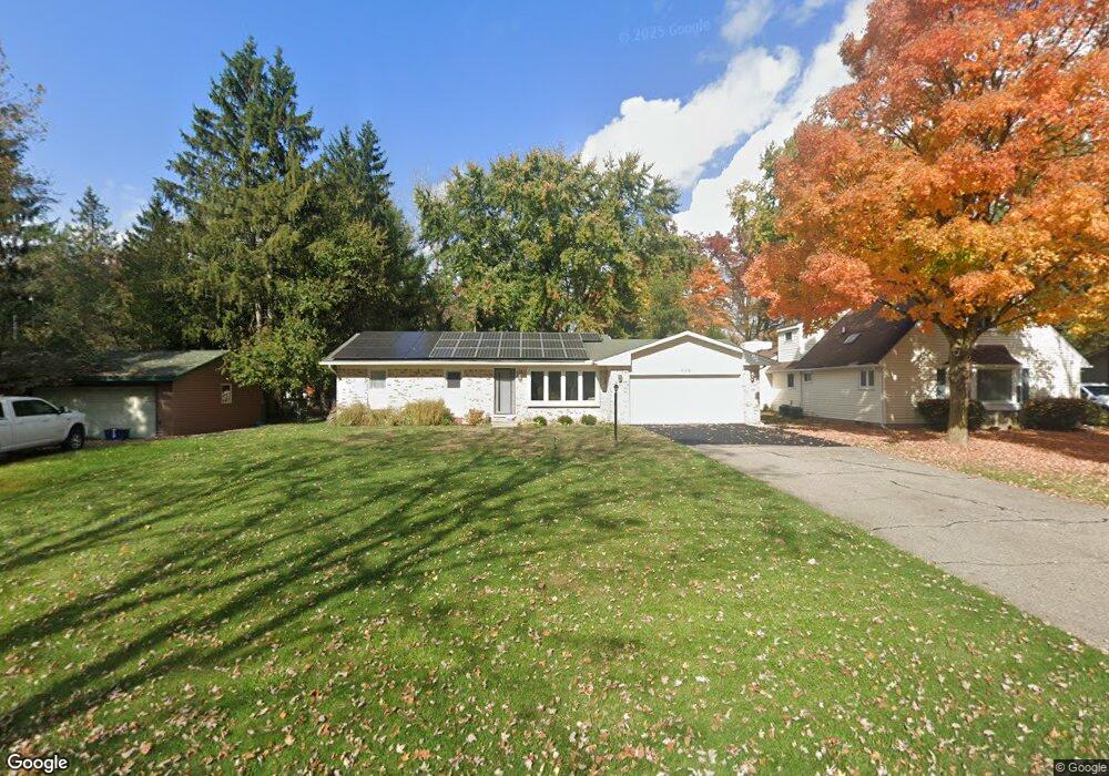
532 John R Unit Bldg-Unit Milford, MI 48381
Estimated Value: $343,238 - $491,000
3
Beds
1
Bath
1,649
Sq Ft
$251/Sq Ft
Est. Value
About This Home
This home is located at 532 John R Unit Bldg-Unit, Milford, MI 48381 and is currently estimated at $414,560, approximately $251 per square foot. 532 John R Unit Bldg-Unit is a home located in Oakland County with nearby schools including Muir Middle School, Kurtz Elementary School, and Christ Lutheran Christian Day School.
Ownership History
Date
Name
Owned For
Owner Type
Purchase Details
Closed on
Sep 15, 2020
Sold by
Teddy Jeromy
Bought by
Teddy Jeromy and Rucinski Nara Nakatani
Current Estimated Value
Purchase Details
Closed on
Mar 19, 2018
Sold by
Adams Daniel E and Daniel E Adams Sr Trust
Bought by
Teddy Jeromy
Home Financials for this Owner
Home Financials are based on the most recent Mortgage that was taken out on this home.
Original Mortgage
$230,743
Outstanding Balance
$196,382
Interest Rate
4.37%
Mortgage Type
FHA
Estimated Equity
$218,178
Purchase Details
Closed on
Apr 3, 2007
Sold by
Adams Daniel E
Bought by
Adams Daniel E and The Daniel E Adams Sr Trust
Purchase Details
Closed on
Mar 26, 2007
Sold by
Adams Daniel E and Adams Suzanne Jo
Bought by
Adams Daniel E
Create a Home Valuation Report for This Property
The Home Valuation Report is an in-depth analysis detailing your home's value as well as a comparison with similar homes in the area
Home Values in the Area
Average Home Value in this Area
Purchase History
| Date | Buyer | Sale Price | Title Company |
|---|---|---|---|
| Teddy Jeromy | -- | First American Title Ins Co | |
| Teddy Jeromy | $235,000 | None Available | |
| Adams Daniel E | -- | None Available | |
| Adams Daniel E | -- | None Available |
Source: Public Records
Mortgage History
| Date | Status | Borrower | Loan Amount |
|---|---|---|---|
| Open | Teddy Jeromy | $230,743 |
Source: Public Records
Tax History
| Year | Tax Paid | Tax Assessment Tax Assessment Total Assessment is a certain percentage of the fair market value that is determined by local assessors to be the total taxable value of land and additions on the property. | Land | Improvement |
|---|---|---|---|---|
| 2025 | $4,575 | $157,000 | $0 | $0 |
| 2024 | $3,989 | $147,440 | $0 | $0 |
| 2023 | $3,819 | $136,470 | $0 | $0 |
| 2022 | $3,637 | $127,340 | $0 | $0 |
| 2021 | $2,831 | $122,300 | $0 | $0 |
| 2020 | $3,530 | $117,370 | $0 | $0 |
| 2019 | $3,569 | $113,190 | $0 | $0 |
| 2018 | $2,080 | $105,270 | $0 | $0 |
| 2017 | $1,109 | $105,270 | $0 | $0 |
| 2016 | $2,592 | $97,810 | $0 | $0 |
| 2015 | -- | $90,760 | $0 | $0 |
| 2014 | -- | $77,800 | $0 | $0 |
| 2011 | -- | $60,480 | $0 | $0 |
Source: Public Records
Map
Nearby Homes
- 431 W Washington St
- 517 W Commerce St
- 710 Bellevue
- 738 S Milford Rd Unit 30
- 120 E Liberty St Unit 304
- Unit 205 Plan at 120 E. Liberty
- 120 E Liberty St Unit 303
- Unit 301 Plan at 120 E. Liberty
- 120 E Liberty St Unit 207
- Unit 201 Plan at 120 E. Liberty
- Unit 306 Plan at 120 E. Liberty
- Unit 305 Plan at 120 E. Liberty
- 120 E Liberty St Unit 201
- Unit 303 Plan at 120 E. Liberty
- 120 E Liberty St Unit 203
- 120 E Liberty St Unit 305
- 120 E Liberty St Unit 302
- Unit 203 Plan at 120 E. Liberty
- 120 E Liberty St Unit 205
- 120 E Liberty St Unit 301
Your Personal Tour Guide
Ask me questions while you tour the home.