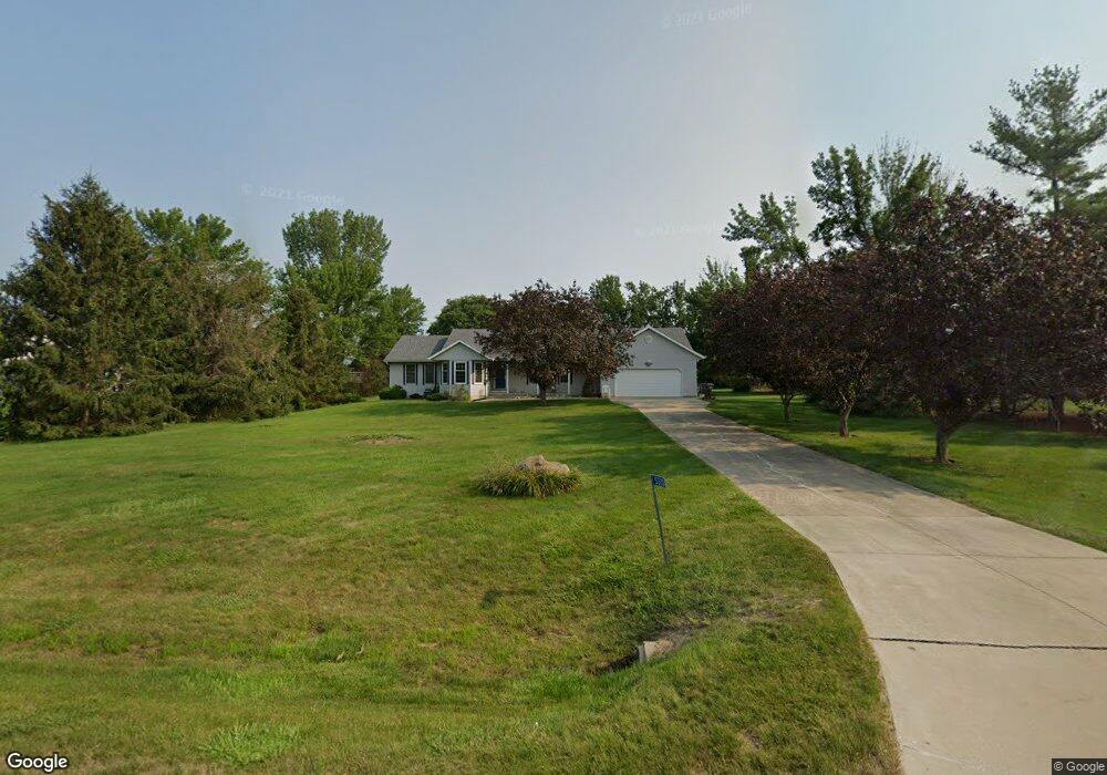
5320 Michael Dr Cedar Rapids, IA 52411
Estimated Value: $377,000 - $402,000
3
Beds
3
Baths
2,131
Sq Ft
$183/Sq Ft
Est. Value
About This Home
This home is located at 5320 Michael Dr, Cedar Rapids, IA 52411 and is currently estimated at $391,005, approximately $183 per square foot. 5320 Michael Dr is a home located in Linn County with nearby schools including Viola Gibson Elementary School, Harding Middle School, and John F. Kennedy High School.
Ownership History
Date
Name
Owned For
Owner Type
Purchase Details
Closed on
Sep 14, 2021
Sold by
David Meyer Ward
Bought by
Kruse Sheryl C and Chambers Molly
Current Estimated Value
Home Financials for this Owner
Home Financials are based on the most recent Mortgage that was taken out on this home.
Original Mortgage
$264,024
Interest Rate
3.25%
Mortgage Type
New Conventional
Purchase Details
Closed on
Oct 14, 2005
Sold by
Meyer June and Meyer June A
Bought by
Meyer June and Meyer Ward David
Purchase Details
Closed on
Jul 8, 2005
Sold by
Ford Roy E and Ford Linda R
Bought by
Meyer June A
Create a Home Valuation Report for This Property
The Home Valuation Report is an in-depth analysis detailing your home's value as well as a comparison with similar homes in the area
Purchase History
| Date | Buyer | Sale Price | Title Company |
|---|---|---|---|
| Kruse Sheryl C | $330,500 | None Listed On Document | |
| Meyer Ward David | -- | None Available | |
| Meyer June | -- | -- | |
| Meyer June A | $227,500 | -- |
Source: Public Records
Mortgage History
| Date | Status | Borrower | Loan Amount |
|---|---|---|---|
| Previous Owner | Meyer Ward David | $264,024 |
Source: Public Records
Tax History
| Year | Tax Paid | Tax Assessment Tax Assessment Total Assessment is a certain percentage of the fair market value that is determined by local assessors to be the total taxable value of land and additions on the property. | Land | Improvement |
|---|---|---|---|---|
| 2025 | $5,348 | $344,100 | $75,300 | $268,800 |
| 2024 | $5,314 | $346,100 | $75,300 | $270,800 |
| 2023 | $5,314 | $321,300 | $75,300 | $246,000 |
| 2022 | $5,216 | $264,200 | $60,200 | $204,000 |
| 2021 | $5,312 | $264,200 | $60,200 | $204,000 |
| 2020 | $5,312 | $252,600 | $50,200 | $202,400 |
| 2019 | $5,106 | $248,700 | $50,200 | $198,500 |
Source: Public Records
Map
Nearby Homes
- 5843 Wells Ln
- 5854 Wells Ln
- 5871 Shiloh Ln
- 6524 Michael Dr NE
- 6718 Lauder Ln
- 344 Worthington Ct
- 1845 Lyndhurst Dr
- 4675 Leprechaun Ln
- 6720 Caldwell Ln
- 4362 Cloverdale Rd
- Lot 1A Buffalo Ridge Dr NE
- 2596 Anne Ln
- 4620 Prairie Stone Dr NE
- 4408 Prairie Stone Dr NE
- 4510 Prairie Stone Dr NE
- 1224 Litchfield Dr Unit B
- 1224 Litchfield Dr
- Lot 11 Cross Pointe Blvd NE
- Lot 12 Cross Pointe Blvd NE
- 6505 Blairs Ferry Rd
- 5320 Michael Dr NE
- 5310 Michael Dr
- 5400 Michael Dr
- 5400 Michael Dr NE
- 5321 Michael Dr NE
- 5311 Michael Dr NE
- 5300 Michael Dr
- 5321 Michael Dr
- 5401 Michael Dr NE
- 5301 Michael Dr
- 5501 Michael Dr
- 5501 Michael Dr NE
- 3080 Grey Wolf
- 5511 Michael Dr
- 3100 Grey Wolf
- 3120 Grey Wolf
- 3060 Grey Wolf
- 5660 Michael Dr NE
- 5660 Michael Dr
- 5505 Shiloh Ln NE
Your Personal Tour Guide
Ask me questions while you tour the home.