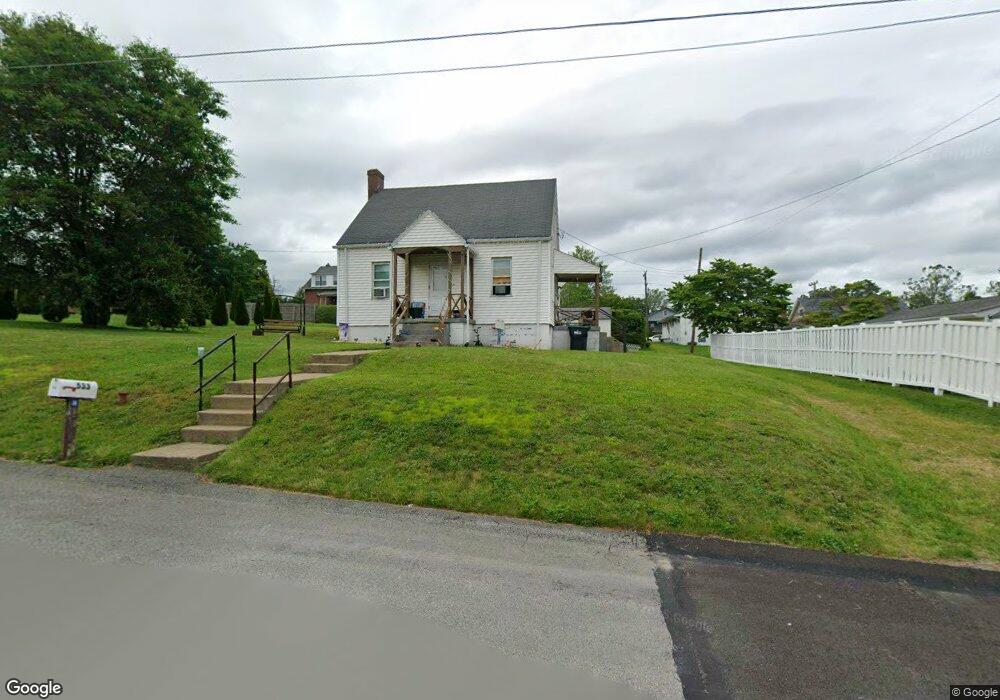
533 Don St Latrobe, PA 15650
Estimated Value: $111,000 - $196,000
Studio
--
Bath
--
Sq Ft
10,019
Sq Ft Lot
About This Home
This home is located at 533 Don St, Latrobe, PA 15650 and is currently estimated at $143,420. 533 Don St is a home located in Westmoreland County with nearby schools including Greater Latrobe Junior High School, Greater Latrobe Senior High School, and Christ the Divine Teacher School.
Ownership History
Date
Name
Owned For
Owner Type
Purchase Details
Closed on
Apr 20, 2020
Sold by
Wing Anthony R and Wing Kimberly J
Bought by
Degrandis Frank A and Degrandis Jenna L
Current Estimated Value
Home Financials for this Owner
Home Financials are based on the most recent Mortgage that was taken out on this home.
Original Mortgage
$74,936
Outstanding Balance
$66,657
Interest Rate
3.62%
Mortgage Type
FHA
Estimated Equity
$76,763
Purchase Details
Closed on
Jun 22, 2017
Sold by
Dollar William L and Fuggenthaler William L
Bought by
Wing Anthony R and Wing Kimberly J
Create a Home Valuation Report for This Property
The Home Valuation Report is an in-depth analysis detailing your home's value as well as a comparison with similar homes in the area
Home Values in the Area
Average Home Value in this Area
Purchase History
| Date | Buyer | Sale Price | Title Company |
|---|---|---|---|
| Degrandis Frank A | $76,320 | None Available | |
| Wing Anthony R | $72,250 | None Available |
Source: Public Records
Mortgage History
| Date | Status | Borrower | Loan Amount |
|---|---|---|---|
| Open | Degrandis Frank A | $74,936 |
Source: Public Records
Tax History
| Year | Tax Paid | Tax Assessment Tax Assessment Total Assessment is a certain percentage of the fair market value that is determined by local assessors to be the total taxable value of land and additions on the property. | Land | Improvement |
|---|---|---|---|---|
| 2025 | $1,509 | $12,500 | $2,400 | $10,100 |
| 2024 | $1,509 | $12,500 | $2,400 | $10,100 |
| 2023 | $1,384 | $12,500 | $2,400 | $10,100 |
| 2022 | $1,384 | $12,500 | $2,400 | $10,100 |
| 2021 | $1,371 | $12,500 | $2,400 | $10,100 |
| 2020 | $1,349 | $12,500 | $2,400 | $10,100 |
| 2019 | $1,331 | $12,500 | $2,400 | $10,100 |
| 2018 | $1,324 | $12,500 | $2,400 | $10,100 |
| 2017 | $1,290 | $12,500 | $2,400 | $10,100 |
| 2016 | $302 | $12,500 | $2,400 | $10,100 |
| 2015 | $302 | $12,500 | $2,400 | $10,100 |
| 2014 | -- | $12,500 | $2,400 | $10,100 |
Source: Public Records
Map
Nearby Homes
- 1306 Roger Drive Lot 54 B
- 308 Loyalhanna Ave
- 9 Miller St
- 136 Joanne Dr
- 433 Lloyd Ave
- 145 Easy St
- 111 Loyalhanna Ave
- 104 Miller St
- 120 Miller St
- 201 Thompson St
- 17 Braddock Dr
- 700 Hoke St
- 1608 Jefferson St
- 1209 Ridge Ave
- 407 Walnut St
- 49 E 4th Ave
- 209 Gertrude St
- 417 Fairmont St
- 135 Cramer Rd
- 605 St Clair
Your Personal Tour Guide
Ask me questions while you tour the home.