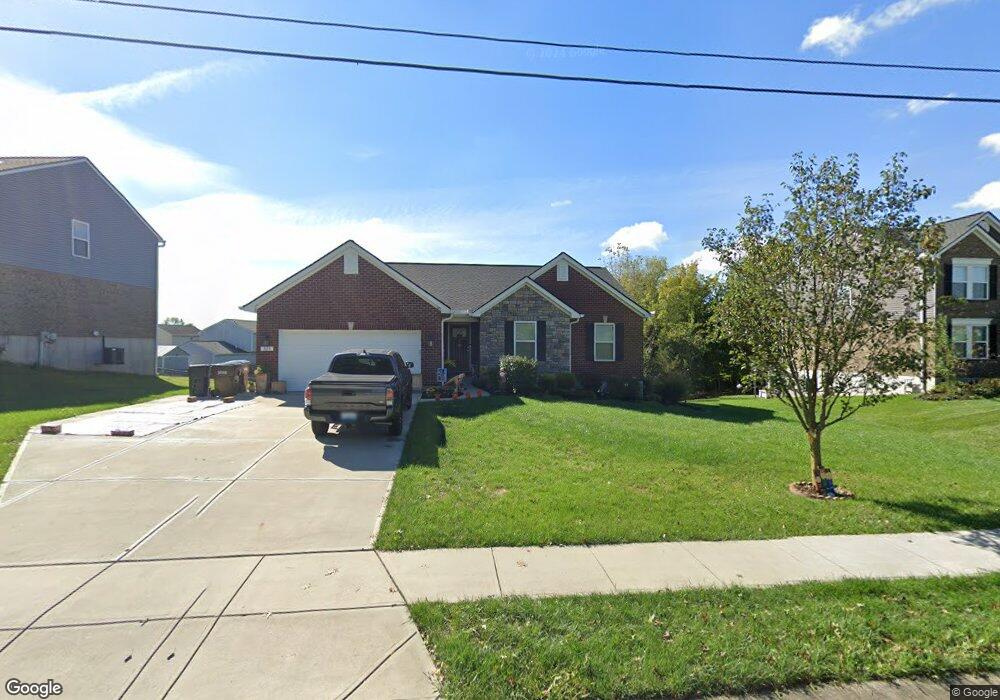
533 Hogrefe Rd Independence, KY 41051
Estimated Value: $329,000 - $398,000
3
Beds
2
Baths
--
Sq Ft
12,197
Sq Ft
About This Home
This home is located at 533 Hogrefe Rd, Independence, KY 41051 and is currently estimated at $354,644. 533 Hogrefe Rd is a home with nearby schools including Beechgrove Elementary School, Twenhofel Middle School, and Simon Kenton High School.
Ownership History
Date
Name
Owned For
Owner Type
Purchase Details
Closed on
Aug 15, 2019
Sold by
Arlinghaus Builders Llc
Bought by
Nienaber Michael L and Nienaber Ava Marie
Current Estimated Value
Home Financials for this Owner
Home Financials are based on the most recent Mortgage that was taken out on this home.
Original Mortgage
$231,046
Interest Rate
3.5%
Mortgage Type
New Conventional
Purchase Details
Closed on
Aug 1, 2017
Sold by
Arlinghaus Llc
Bought by
Arlinghaus Builders Llc
Create a Home Valuation Report for This Property
The Home Valuation Report is an in-depth analysis detailing your home's value as well as a comparison with similar homes in the area
Home Values in the Area
Average Home Value in this Area
Purchase History
| Date | Buyer | Sale Price | Title Company |
|---|---|---|---|
| Nienaber Michael L | $253,978 | Northwest Title Agency | |
| Arlinghaus Builders Llc | -- | None Available |
Source: Public Records
Mortgage History
| Date | Status | Borrower | Loan Amount |
|---|---|---|---|
| Previous Owner | Nienaber Michael L | $231,046 |
Source: Public Records
Tax History
| Year | Tax Paid | Tax Assessment Tax Assessment Total Assessment is a certain percentage of the fair market value that is determined by local assessors to be the total taxable value of land and additions on the property. | Land | Improvement |
|---|---|---|---|---|
| 2025 | $3,094 | $266,000 | $45,000 | $221,000 |
| 2024 | $3,110 | $253,900 | $30,000 | $223,900 |
| 2023 | $3,204 | $253,900 | $30,000 | $223,900 |
| 2022 | $3,260 | $253,900 | $30,000 | $223,900 |
| 2021 | $3,308 | $253,900 | $30,000 | $223,900 |
| 2020 | $3,378 | $253,900 | $30,000 | $223,900 |
| 2019 | $391 | $30,000 | $30,000 | $0 |
| 2018 | $394 | $30,000 | $30,000 | $0 |
| 2017 | $382 | $30,000 | $30,000 | $0 |
| 2015 | $374 | $30,000 | $30,000 | $0 |
| 2014 | $368 | $30,000 | $30,000 | $0 |
Source: Public Records
Map
Nearby Homes
- 10654 Sinclair Dr
- 681 Hogrefe Rd
- 10690 Melbury Ct Unit 305GL
- 10700 Melbury Ct
- 10724 Melbury Ct Unit 287GL
- 665 Berlander Dr
- 750 Stanley Ln
- 10460 Walnut Ridge Rd
- 10142 Falcon Ridge Dr
- 1077 Ivoryhill Dr
- 570 Old Bristow Rd
- 1108 Amblewood Ct
- 532 Old Bristow Rd
- 176 Maher Rd
- 9877 Flagstone Dr
- 4312 Cobblewood Ct
- 10422 Flintrock Bluff
- 1202 Wellford Dr
- 1211 Wellford Dr
- 1058 Oakgrove Ct Unit 3
- 545 Hogrefe Rd
- 519 Hogrefe Rd Unit 458GL
- 557 Hogrefe Rd
- 10643 Fremont Dr
- 10644 Sinclair Dr
- 10637 Fremont Dr
- 10647 Fremont Dr
- 556 Hogrefe Rd
- 556 Hogrefe Rd
- 520 Hogreffe Rd
- 10638 Sinclair Dr
- 10642 Sinclair Dr Unit 428GL
- 10646 Sinclair Dr Unit 430GL
- 10651 Fremont Dr
- 10655 Fremont Dr
- 570 Hogreffe Rd
- 502 Hogreffe Rd
- 10650 Sinclair Dr
- 10636 Fremont Dr
- 10640 Fremont Dr
Your Personal Tour Guide
Ask me questions while you tour the home.