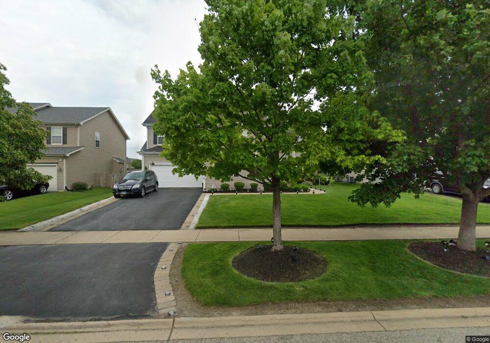
533 Litchfield Way Oswego, IL 60543
South Oswego NeighborhoodEstimated Value: $570,160 - $591,000
4
Beds
3
Baths
3,755
Sq Ft
$156/Sq Ft
Est. Value
About This Home
This home is located at 533 Litchfield Way, Oswego, IL 60543 and is currently estimated at $584,290, approximately $155 per square foot. 533 Litchfield Way is a home located in Kendall County with nearby schools including Southbury Elementary School, Traughber Junior High School, and Oswego High School.
Ownership History
Date
Name
Owned For
Owner Type
Purchase Details
Closed on
Aug 16, 2006
Sold by
Realen Homes Lp
Bought by
Bridges Anthony L and Bridges Shirley
Current Estimated Value
Home Financials for this Owner
Home Financials are based on the most recent Mortgage that was taken out on this home.
Original Mortgage
$302,822
Outstanding Balance
$182,894
Interest Rate
6.87%
Mortgage Type
Purchase Money Mortgage
Estimated Equity
$401,396
Create a Home Valuation Report for This Property
The Home Valuation Report is an in-depth analysis detailing your home's value as well as a comparison with similar homes in the area
Home Values in the Area
Average Home Value in this Area
Purchase History
| Date | Buyer | Sale Price | Title Company |
|---|---|---|---|
| Bridges Anthony L | $379,000 | Chicago Title Insurance Co |
Source: Public Records
Mortgage History
| Date | Status | Borrower | Loan Amount |
|---|---|---|---|
| Open | Bridges Anthony L | $302,822 |
Source: Public Records
Tax History Compared to Growth
Tax History
| Year | Tax Paid | Tax Assessment Tax Assessment Total Assessment is a certain percentage of the fair market value that is determined by local assessors to be the total taxable value of land and additions on the property. | Land | Improvement |
|---|---|---|---|---|
| 2024 | $11,990 | $159,997 | $39,776 | $120,221 |
| 2023 | $10,851 | $140,348 | $34,891 | $105,457 |
| 2022 | $10,851 | $131,166 | $32,608 | $98,558 |
| 2021 | $10,128 | $119,242 | $29,644 | $89,598 |
| 2020 | $9,393 | $110,409 | $27,448 | $82,961 |
| 2019 | $9,386 | $108,782 | $27,448 | $81,334 |
| 2018 | $10,231 | $112,065 | $28,276 | $83,789 |
| 2017 | $10,361 | $112,065 | $28,276 | $83,789 |
| 2016 | $9,904 | $106,223 | $26,802 | $79,421 |
| 2015 | $10,487 | $102,137 | $25,771 | $76,366 |
| 2014 | -- | $96,355 | $24,312 | $72,043 |
| 2013 | -- | $96,355 | $24,312 | $72,043 |
Source: Public Records
Map
Nearby Homes
- 555 Litchfield Way
- 633 Mansfield Way
- 521 Litchfield Way
- 621 Mansfield Way
- 856 Preston Ln
- Lyndale Plan at Southbury
- 215 Willington Way
- Hudson Plan at Southbury
- Essex Plan at Southbury
- 747 Fairfield Dr
- 749 Fairfield Dr
- 858 Preston Ln
- 860 Preston Ln
- 450 Bower Ln
- 452 Bower Ln
- 454 Bower Ln
- 704 Pomfret Ct
- 703 Pomfret Ct
- 645 Henry Ln
- 649 Henry Ln
- 535 Litchfield Way
- 531 Litchfield Way
- 714 Mansfield Ct
- 537 Litchfield Way
- 713 Mansfield Ct
- 529 Litchfield Way
- 540 Litchfield Way
- 712 Mansfield Ct
- 542 Litchfield Way
- 538 Litchfield Way
- 527 Litchfield Way
- 628 Mansfield Way
- 539 Litchfield Way
- 544 Litchfield Way
- 711 Mansfield Ct
- 536 Litchfield Way
- 626 Mansfield Way
- 525 Litchfield Way
- 546 Litchfield Way
- 710 Mansfield Ct