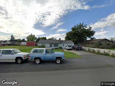
53316 Highway 332 Milton Freewater, OR 97862
Estimated Value: $279,386 - $449,000
3
Beds
2
Baths
2,176
Sq Ft
$179/Sq Ft
Est. Value
About This Home
This home is located at 53316 Highway 332, Milton Freewater, OR 97862 and is currently estimated at $388,597, approximately $178 per square foot. 53316 Highway 332 is a home located in Umatilla County with nearby schools including Gib Olinger Elementary School, McLoughlin High School, and Milton Stateline Seventh-day Adventist School.
Ownership History
Date
Name
Owned For
Owner Type
Purchase Details
Closed on
Mar 26, 2012
Sold by
Hatfield Scott and Hatfield Shanna
Bought by
Hatfield Scott C and Hatfield Shanna L
Current Estimated Value
Home Financials for this Owner
Home Financials are based on the most recent Mortgage that was taken out on this home.
Original Mortgage
$144,000
Interest Rate
3.83%
Mortgage Type
New Conventional
Create a Home Valuation Report for This Property
The Home Valuation Report is an in-depth analysis detailing your home's value as well as a comparison with similar homes in the area
Home Values in the Area
Average Home Value in this Area
Purchase History
| Date | Buyer | Sale Price | Title Company |
|---|---|---|---|
| Hatfield Scott C | -- | Amerititle |
Source: Public Records
Mortgage History
| Date | Status | Borrower | Loan Amount |
|---|---|---|---|
| Closed | Hatfield Scott C | $144,000 | |
| Closed | Hatfield Scott | $129,400 |
Source: Public Records
Tax History Compared to Growth
Tax History
| Year | Tax Paid | Tax Assessment Tax Assessment Total Assessment is a certain percentage of the fair market value that is determined by local assessors to be the total taxable value of land and additions on the property. | Land | Improvement |
|---|---|---|---|---|
| 2024 | $2,030 | $169,310 | $80,300 | $89,010 |
| 2023 | $1,980 | $164,380 | $77,960 | $86,420 |
| 2022 | $1,861 | $159,600 | $0 | $0 |
| 2021 | $1,854 | $154,960 | $73,480 | $81,480 |
| 2020 | $1,668 | $150,450 | $71,340 | $79,110 |
| 2018 | $1,527 | $141,820 | $67,250 | $74,570 |
| 2017 | $1,468 | $137,690 | $65,290 | $72,400 |
| 2016 | $1,400 | $133,680 | $63,390 | $70,290 |
| 2015 | $1,234 | $123,750 | $38,610 | $85,140 |
| 2014 | $1,143 | $123,750 | $38,610 | $85,140 |
Source: Public Records
Map
Nearby Homes
- 53353 Triangle Rd
- 0 Edwards Rd
- 52201 County Rd
- 85266 Winesap Rd
- 84427 Highway 339
- 85477 Winesap Rd
- 85327 Oregon 339
- 1255 Stonewood Ct
- 53752 Appleton Rd Unit 61
- 1252 Stonewood Ct
- 53785 W Crockett Rd Unit 54
- 53785 W Crockett Rd Unit 5
- 0 Prunedale Rd Unit NWM2212248
- 000 Prunedale Rd
- 324 NW 10th Ave
- 84375 Highway 11
- 817 Perkins St
- 609 NW 4th Ave
- 1488 N Elizabeth St
- 142 Debra Ct
- 53316 Highway 332
- 53310 Highway 332
- 53043 Preston Ln
- 53039 Preston Ln
- 53298 Highway 332
- 53001 Preston Ln
- 53238 Highway 332
- 52963 Preston Ln
- 53332 Highway 332
- 53332 Highway 332
- 52957 Preston Ln
- 53232 Highway 332
- 52923 Preston Ln
- 53204 Highway 332
- 52794 Appleton Rd
- 84544 Trumbull Ln
- 53504 Triangle Rd
- 53504 Triangle Rd
- 52915 Preston Ln
- 53446 Highway 332