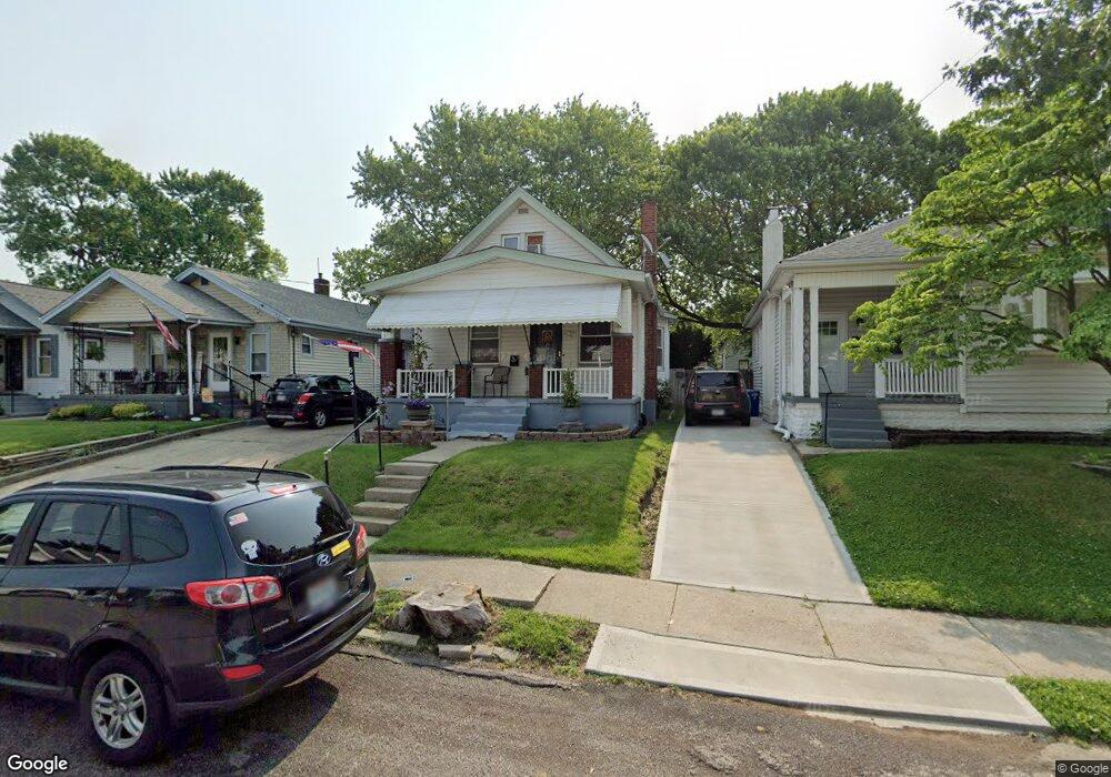
5332 Rolston Ave Cincinnati, OH 45212
Estimated Value: $158,849 - $188,000
2
Beds
2
Baths
998
Sq Ft
$173/Sq Ft
Est. Value
About This Home
This home is located at 5332 Rolston Ave, Cincinnati, OH 45212 and is currently estimated at $172,712, approximately $173 per square foot. 5332 Rolston Ave is a home located in Hamilton County with nearby schools including Norwood High School, Summit Academy Community School - Cincinnati, and Cornerstone Christian Academy.
Ownership History
Date
Name
Owned For
Owner Type
Purchase Details
Closed on
May 31, 2023
Sold by
Ntartin Shawnette L
Bought by
Martin Andrew D
Current Estimated Value
Home Financials for this Owner
Home Financials are based on the most recent Mortgage that was taken out on this home.
Original Mortgage
$80,400
Outstanding Balance
$77,923
Interest Rate
6.43%
Mortgage Type
New Conventional
Estimated Equity
$94,789
Purchase Details
Closed on
Jan 19, 2001
Sold by
Beresford Gregory W
Bought by
Martin Andrew D and Martin Shawnette L
Home Financials for this Owner
Home Financials are based on the most recent Mortgage that was taken out on this home.
Original Mortgage
$61,813
Interest Rate
7.43%
Mortgage Type
FHA
Create a Home Valuation Report for This Property
The Home Valuation Report is an in-depth analysis detailing your home's value as well as a comparison with similar homes in the area
Home Values in the Area
Average Home Value in this Area
Purchase History
We collect this data history from publicly available records. To have your information removed, we recommend requesting removal directly through your county’s website.
| Date | Buyer | Sale Price | Title Company |
|---|---|---|---|
| Martin Andrew D | $250 | First National Title | |
| Martin Andrew D | $62,500 | Technetitle Agency Inc |
Source: Public Records
Mortgage History
We collect this data history from publicly available records. To have your information removed, we recommend requesting removal directly through your county’s website.
| Date | Status | Borrower | Loan Amount |
|---|---|---|---|
| Open | Martin Andrew D | $80,400 | |
| Previous Owner | Martin Andrew D | $61,813 |
Source: Public Records
Tax History
| Year | Tax Paid | Tax Assessment Tax Assessment Total Assessment is a certain percentage of the fair market value that is determined by local assessors to be the total taxable value of land and additions on the property. | Land | Improvement |
|---|---|---|---|---|
| 2025 | $2,005 | $38,627 | $9,125 | $29,502 |
| 2023 | $2,000 | $38,627 | $9,125 | $29,502 |
| 2022 | $1,685 | $27,297 | $6,916 | $20,381 |
| 2021 | $1,630 | $27,297 | $6,916 | $20,381 |
| 2020 | $1,635 | $27,297 | $6,916 | $20,381 |
| 2019 | $1,554 | $23,944 | $6,066 | $17,878 |
| 2018 | $1,556 | $23,944 | $6,066 | $17,878 |
| 2017 | $1,472 | $23,944 | $6,066 | $17,878 |
| 2016 | $1,699 | $26,779 | $5,702 | $21,077 |
| 2015 | $1,512 | $26,779 | $5,702 | $21,077 |
| 2014 | $1,511 | $26,779 | $5,702 | $21,077 |
| 2013 | $1,590 | $28,487 | $6,066 | $22,421 |
Source: Public Records
Map
Nearby Homes
- 5336 Globe Ave
- 5314 Section Ave
- 5258 Hunter Ave
- 5405 Carthage Ave
- 5310 Globe Ave
- 1966 Avonlea Ave
- 5437 Rolston Ave
- 2109 Wayne Ave
- 5234 Hunter Ave
- 5229 Globe Ave
- 5224 Hunter Ave
- 5203 Rolston Ave
- 2149 Cathedral Ave
- 5605 Rhode Island Ave
- 2011 Dale Rd
- 5133 Hunter Ave
- 2205 Drex Ave
- 5131 Globe Ave
- 5225 Rose Ave
- 2209 Cathedral Ave
- 5330 Rolston Ave
- 5338 Rolston Ave
- 5328 Rolston Ave
- 5340 Rolston Ave
- 5326 Rolston Ave
- 5342 Rolston Ave
- 5331 Hunter Ave
- 5335 Hunter Ave
- 5329 Hunter Ave
- 5341 Hunter Ave
- 5324 Rolston Ave
- 5344 Rolston Ave
- 5337 Rolston Ave
- 5339 Rolston Ave
- 5335 Rolston Ave
- 5319 Hunter Ave
- 5333 Rolston Ave
- 5341 Rolston Ave
- 5320 Rolston Ave
- 5346 Rolston Ave
Your Personal Tour Guide
Ask me questions while you tour the home.