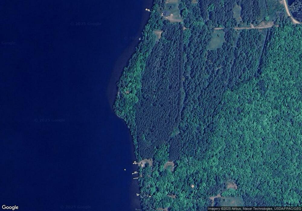
53387 Audubon Dr Sandstone, MN 55072
Estimated Value: $308,000 - $820,258
2
Beds
3
Baths
1,120
Sq Ft
$504/Sq Ft
Est. Value
About This Home
This home is located at 53387 Audubon Dr, Sandstone, MN 55072 and is currently estimated at $564,129, approximately $503 per square foot. 53387 Audubon Dr is a home with nearby schools including East Central Elementary School and East Central Senior Secondary School.
Ownership History
Date
Name
Owned For
Owner Type
Purchase Details
Closed on
Dec 5, 2018
Sold by
Bradford Susan
Bought by
Mcconnell David B
Current Estimated Value
Home Financials for this Owner
Home Financials are based on the most recent Mortgage that was taken out on this home.
Original Mortgage
$331,000
Interest Rate
4.6%
Mortgage Type
New Conventional
Create a Home Valuation Report for This Property
The Home Valuation Report is an in-depth analysis detailing your home's value as well as a comparison with similar homes in the area
Home Values in the Area
Average Home Value in this Area
Purchase History
| Date | Buyer | Sale Price | Title Company |
|---|---|---|---|
| Mcconnell David B | $300,000 | Certificate Of Title | |
| Mcconnell David B | -- | Certificate Of Title | |
| Mcconnell David B | $200,000 | Certificate Of Title |
Source: Public Records
Mortgage History
| Date | Status | Borrower | Loan Amount |
|---|---|---|---|
| Previous Owner | Mcconnell David B | $331,000 |
Source: Public Records
Tax History Compared to Growth
Tax History
| Year | Tax Paid | Tax Assessment Tax Assessment Total Assessment is a certain percentage of the fair market value that is determined by local assessors to be the total taxable value of land and additions on the property. | Land | Improvement |
|---|---|---|---|---|
| 2025 | $7,306 | $867,200 | $792,900 | $74,300 |
| 2024 | $7,930 | $793,900 | $720,100 | $73,800 |
| 2023 | $8,210 | $832,400 | $718,100 | $114,300 |
| 2022 | $9,676 | $737,300 | $661,700 | $75,600 |
| 2021 | $9,928 | $732,300 | $645,700 | $86,600 |
| 2020 | $9,622 | $729,500 | $641,400 | $88,100 |
| 2019 | $9,898 | $696,800 | $619,300 | $77,500 |
| 2018 | $9,490 | $683,900 | $612,300 | $71,600 |
| 2017 | $9,872 | $662,600 | $584,400 | $78,200 |
| 2016 | -- | $666,000 | $584,400 | $81,600 |
Source: Public Records
Map
Nearby Homes
- 51791 Riverside Ln
- 53253 W Grindstone Rd
- 18625 Skunk Lake Rd
- xxx Groningen Rd
- 3107 365th Ave
- 3303 Velvet St
- 3004 370th Ave
- 58747 Finlayson Rd
- 56694 Williams Ln
- 60047 Finlayson Rd
- 25690 Groningen Rd
- 13949 Emma Rd
- 25561 Groningen Rd
- 1909 County Hwy 61
- xxx Old Military Rd S
- 10912 Dahl Rd
- 57082 Minnesota 23
- 13767 Dahl Rd
- TBD Wooded Cir
- 402 Grouse St
- 52503 Stenson Ln
- 53395 Audubon Rd
- 52443 Stenson Ln
- xxx Audubon Dr
- 52352 Stenson Ln
- 52357 Stenson Ln
- 52331 Stenson Ln
- XX Oswald Ln
- 52319 Stenson Ln
- 52277 Stenson Ln
- 53417 Audubon Rd
- 52255 Stenson Ln
- 13903 Buckeye Dr
- 52209 Oswald Ln
- 13902 Buckeye Dr
- XXXX Oswald Ln
- 52101 Pine Alley
- 52087 Pine Alley
- 53559 Audubon Dr
- 52083 Pine Alley
