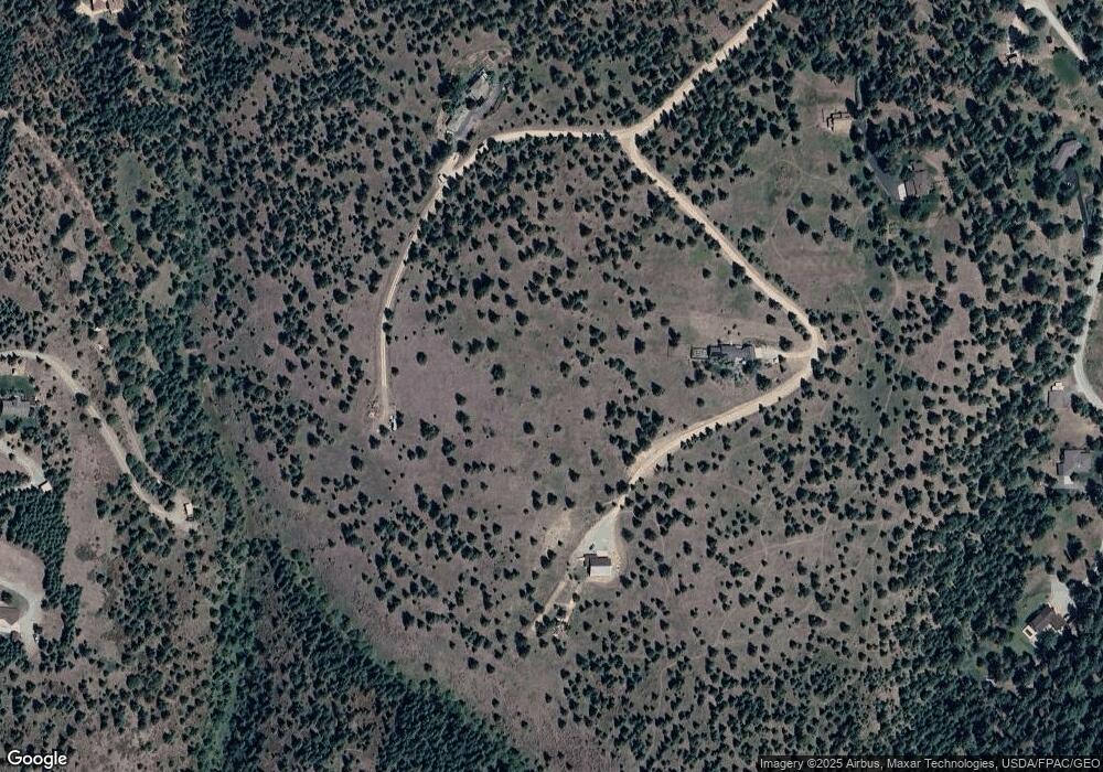
5348 Burning Tree Ct Missoula, MT 59803
Estimated Value: $705,000 - $832,317
1
Bed
1
Bath
1,464
Sq Ft
$525/Sq Ft
Est. Value
About This Home
This home is located at 5348 Burning Tree Ct, Missoula, MT 59803 and is currently estimated at $768,659, approximately $525 per square foot. 5348 Burning Tree Ct is a home with nearby schools including Lewis & Clark School, Washington Middle School, and Sentinel High School.
Ownership History
Date
Name
Owned For
Owner Type
Purchase Details
Closed on
Oct 18, 2017
Sold by
Martinsen Philip G
Bought by
Eiseman Michael
Current Estimated Value
Purchase Details
Closed on
Oct 1, 2015
Sold by
Livingston Alison H and Martinsen Philip G
Bought by
Martinsen Philip G
Purchase Details
Closed on
Jan 13, 2009
Sold by
Livingston Alison H
Bought by
Firehill Llc
Purchase Details
Closed on
Apr 25, 1970
Sold by
Parmelee Fred and Parmelee Thelma A
Bought by
Martinsen A E and Martinsen Bettie H
Create a Home Valuation Report for This Property
The Home Valuation Report is an in-depth analysis detailing your home's value as well as a comparison with similar homes in the area
Home Values in the Area
Average Home Value in this Area
Purchase History
| Date | Buyer | Sale Price | Title Company |
|---|---|---|---|
| Eiseman Michael | -- | None Available | |
| Martinsen Philip G | -- | None Available | |
| Firehill Llc | -- | None Available | |
| Martinsen A E | -- | None Available |
Source: Public Records
Tax History Compared to Growth
Tax History
| Year | Tax Paid | Tax Assessment Tax Assessment Total Assessment is a certain percentage of the fair market value that is determined by local assessors to be the total taxable value of land and additions on the property. | Land | Improvement |
|---|---|---|---|---|
| 2025 | $5,235 | $815,600 | $390,004 | $425,596 |
| 2024 | $5,746 | $543,700 | $225,132 | $318,568 |
| 2023 | $5,093 | $543,700 | $225,132 | $318,568 |
| 2022 | $5,768 | $530,538 | $0 | $0 |
| 2021 | $5,738 | $527,248 | $0 | $0 |
| 2020 | $2,603 | $231,000 | $0 | $0 |
| 2019 | $2,598 | $231,000 | $0 | $0 |
| 2018 | $2,160 | $193,092 | $0 | $0 |
| 2017 | $1,932 | $193,092 | $0 | $0 |
| 2016 | $108 | $805 | $0 | $0 |
| 2015 | $97 | $805 | $0 | $0 |
| 2014 | $136 | $1,045 | $0 | $0 |
Source: Public Records
Map
Nearby Homes
- 4830 Arnica Rd
- Parcel 3B Snowshoe Ln
- 1133 Pacific Dr
- 901 Ben Hogan Dr
- 524 Spanish Peaks Dr
- 716 Spanish Peaks Dr
- 230 Dean Stone Dr
- 410 Ben Hogan Dr
- 226 Mansion Heights Dr
- 140 Fairway Dr
- 1023 Whitaker Dr Unit A
- 925 Parkview Way
- 110 Hillcrest Loop
- 500 Westview Dr
- 100 Pattee Canyon Dr
- 200 Northview Dr
- 203 High Park Way
- 217 Dixon Ave
- 100 Simons Dr
- 675 E Central Ave
- 5201 Burning Tree Dr
- 5205 Lupine Rd
- 5195 Lupine Rd
- 5115 Burning Tree Dr
- 4920 Burning Tree Dr
- 5225 Lupine Rd
- 5400 Arnica Rd
- 5420 Arnica Rd
- Parcel 5b1 Arnica Rd
- 5075 Lupine Rd
- 5155 Lupine Rd
- 2600 Mitten Mountain Ln
- 4855 Lupine Rd
- 2463 Larch Camp Rd
- 5055 Huckleberry Rd
- 4844 Burning Tree Dr
- 2301 Larch Camp Rd
- 2850 Mitten Mountain Rd
- 4850 Arnica Rd
- 5130 Huckleberry Rd
