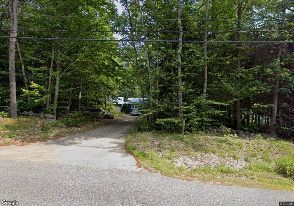
535 Allard Hill Rd Conway, NH 03818
Estimated Value: $373,000 - $507,000
4
Beds
2
Baths
1,967
Sq Ft
$218/Sq Ft
Est. Value
About This Home
This home is located at 535 Allard Hill Rd, Conway, NH 03818 and is currently estimated at $428,549, approximately $217 per square foot. 535 Allard Hill Rd is a home located in Carroll County with nearby schools including Madison Elementary School and Robert Frost Charter School.
Ownership History
Date
Name
Owned For
Owner Type
Purchase Details
Closed on
Nov 7, 2018
Sold by
Grout David M and Grout Giselle B
Bought by
Verry Jonathan M
Current Estimated Value
Home Financials for this Owner
Home Financials are based on the most recent Mortgage that was taken out on this home.
Original Mortgage
$142,500
Outstanding Balance
$125,044
Interest Rate
4.7%
Mortgage Type
Purchase Money Mortgage
Estimated Equity
$303,505
Purchase Details
Closed on
Jun 1, 2009
Sold by
Blizzard Lloyd D and Blizzard Joyce
Bought by
Grout David M and Grout Giselle B
Home Financials for this Owner
Home Financials are based on the most recent Mortgage that was taken out on this home.
Original Mortgage
$173,000
Interest Rate
4.87%
Mortgage Type
Purchase Money Mortgage
Create a Home Valuation Report for This Property
The Home Valuation Report is an in-depth analysis detailing your home's value as well as a comparison with similar homes in the area
Home Values in the Area
Average Home Value in this Area
Purchase History
| Date | Buyer | Sale Price | Title Company |
|---|---|---|---|
| Verry Jonathan M | $190,000 | -- | |
| Grout David M | $169,500 | -- |
Source: Public Records
Mortgage History
| Date | Status | Borrower | Loan Amount |
|---|---|---|---|
| Open | Verry Jonathan M | $142,500 | |
| Previous Owner | Grout David M | $173,000 |
Source: Public Records
Tax History Compared to Growth
Tax History
| Year | Tax Paid | Tax Assessment Tax Assessment Total Assessment is a certain percentage of the fair market value that is determined by local assessors to be the total taxable value of land and additions on the property. | Land | Improvement |
|---|---|---|---|---|
| 2024 | $2,979 | $188,900 | $60,100 | $128,800 |
| 2023 | $3,208 | $188,900 | $60,100 | $128,800 |
| 2022 | $2,926 | $188,900 | $60,100 | $128,800 |
| 2021 | $2,601 | $188,900 | $60,100 | $128,800 |
| 2020 | $60 | $188,900 | $60,100 | $128,800 |
| 2019 | $62 | $160,200 | $52,100 | $108,100 |
| 2018 | $3,033 | $160,200 | $52,100 | $108,100 |
| 2017 | $2,707 | $160,200 | $52,100 | $108,100 |
| 2015 | $2,645 | $160,200 | $52,100 | $108,100 |
| 2014 | $2,720 | $170,400 | $52,200 | $118,200 |
| 2013 | $2,689 | $170,400 | $52,200 | $118,200 |
Source: Public Records
Map
Nearby Homes
- 17 Skyline Way
- 26 Island Dr
- 149 Allard Hill Rd
- 148 Brenner Dr
- 62 Appenvel Way
- 00 Brenner Dr
- 68 Eidelweiss Dr
- 52 Appenvel Way
- 15 Acadia Way
- 137 Modock Hill Rd
- 19 W Bergamo Rd
- 74 Garmish Rd
- -- Landsdown Ln
- 20 Adelboden Way
- 21 Little Shore Dr
- 369 Tasker Hill Rd
- 44 Regent Hill Rd
- 15 Klausen Rd
- 8 Grimsel Rd
- 592 Eaton Rd
- 535 Allard Hill
- 511 Allard Hill Rd
- 13 Skyline Way
- 11 Skyline Way
- 8 Skyline Way
- 3 Skyline Way
- 5 Skyline Way
- 10 Skyline Way
- 14 Skyline Way
- 6 Skyline Way
- 2 Skyline Way
- 12 Skyline Way
- 0 Skyline Way
- 0 Skyline Unit 3 4494221
- 0 Skyline Unit 5 4494217
- 0 Skyline Unit 17 4494115
- 0 Skyline Unit 15 4494206
- 0 Skyline Unit 11 4494210
- 0 Skyline Unit 13 4494209
- 0 Skyline Unit 12 4999526