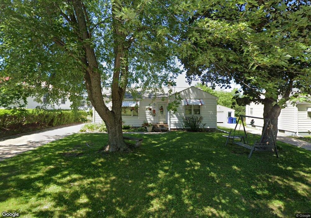
535 Carolina Ave Waterloo, IA 50702
West Central NeighborhoodEstimated Value: $154,731 - $173,000
3
Beds
2
Baths
1,270
Sq Ft
$131/Sq Ft
Est. Value
About This Home
This home is located at 535 Carolina Ave, Waterloo, IA 50702 and is currently estimated at $166,933, approximately $131 per square foot. 535 Carolina Ave is a home located in Black Hawk County with nearby schools including Kingsley Elementary School, Hoover Middle School, and West High School.
Ownership History
Date
Name
Owned For
Owner Type
Purchase Details
Closed on
Aug 4, 2006
Sold by
Kuper Cynthia J
Bought by
Cruz Jay and Cruz Fe
Current Estimated Value
Home Financials for this Owner
Home Financials are based on the most recent Mortgage that was taken out on this home.
Original Mortgage
$90,000
Outstanding Balance
$54,386
Interest Rate
6.88%
Mortgage Type
New Conventional
Estimated Equity
$112,547
Create a Home Valuation Report for This Property
The Home Valuation Report is an in-depth analysis detailing your home's value as well as a comparison with similar homes in the area
Home Values in the Area
Average Home Value in this Area
Purchase History
| Date | Buyer | Sale Price | Title Company |
|---|---|---|---|
| Cruz Jay | $100,000 | Title Services Corporation |
Source: Public Records
Mortgage History
| Date | Status | Borrower | Loan Amount |
|---|---|---|---|
| Open | Cruz Jay | $90,000 |
Source: Public Records
Tax History Compared to Growth
Tax History
| Year | Tax Paid | Tax Assessment Tax Assessment Total Assessment is a certain percentage of the fair market value that is determined by local assessors to be the total taxable value of land and additions on the property. | Land | Improvement |
|---|---|---|---|---|
| 2024 | $2,426 | $135,790 | $18,720 | $117,070 |
| 2023 | $2,198 | $135,790 | $18,720 | $117,070 |
| 2022 | $2,138 | $109,000 | $18,720 | $90,280 |
| 2021 | $2,280 | $109,000 | $18,720 | $90,280 |
| 2020 | $2,238 | $109,230 | $15,840 | $93,390 |
| 2019 | $2,238 | $109,230 | $15,840 | $93,390 |
| 2018 | $2,240 | $109,230 | $15,840 | $93,390 |
| 2017 | $2,312 | $109,230 | $15,840 | $93,390 |
| 2016 | $2,280 | $109,230 | $15,840 | $93,390 |
| 2015 | $2,280 | $109,230 | $15,840 | $93,390 |
| 2014 | $2,204 | $104,040 | $15,840 | $88,200 |
Source: Public Records
Map
Nearby Homes
- 1421 Denver St
- 315 Bourland Ave
- 222 Bourland Ave
- 421 Cornwall Ave
- 220 Forest Ave
- 1615 Baltimore St
- 115 Cornwall Ave
- 126 Rosebud Ave
- 209 Graceline Blvd
- 215 Frederic Ave
- 1111 Western Ave
- 711 Cornwall Ave
- 129 Graceline Blvd
- 122 Maryland Ave
- 121 Lovejoy Ave
- 812 Hawthorne Ave
- 226 Campbell Ave
- 203 Kingbard Blvd
- 126 Kingsley Ave
- 721 Locke Ave
- 541 Carolina Ave
- 525 Carolina Ave
- 0 Carolina Unit 2500651
- 545 Carolina Ave
- 521 Carolina Ave
- 231 Miriam Dr
- 231 Miriam Dr Unit D
- 231 Miriam Dr Unit C
- 231 Miriam Dr Unit B
- 231 Miriam Dr Unit A
- 237 Miriam Dr
- 555 Carolina Ave
- 243 Miriam Dr
- 221 Miriam Dr
- 221 Miriam Dr Unit D
- 221 Miriam Dr Unit C
- 221 Miriam Dr Unit B
- 221 Miriam Dr Unit A
- 515 Carolina Ave
- 215 Miriam Dr