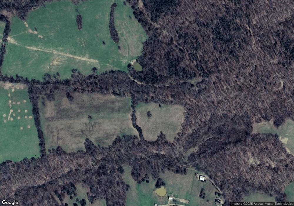
535 Hayes Rd Unit ROAD535 Vanleer, TN 37181
Estimated Value: $582,075 - $925,000
--
Bed
2
Baths
2,140
Sq Ft
$329/Sq Ft
Est. Value
About This Home
This home is located at 535 Hayes Rd Unit ROAD535, Vanleer, TN 37181 and is currently estimated at $704,025, approximately $328 per square foot. 535 Hayes Rd Unit ROAD535 is a home located in Houston County.
Ownership History
Date
Name
Owned For
Owner Type
Purchase Details
Closed on
Aug 2, 2005
Sold by
Bedwell Billy J
Bought by
Jaro John E
Current Estimated Value
Purchase Details
Closed on
Aug 22, 2003
Bought by
Bedwell Billy J
Purchase Details
Closed on
Aug 28, 1992
Bought by
Garland Patrick V and Garland Betty T
Purchase Details
Closed on
Mar 31, 1992
Bought by
Rye Velton E
Purchase Details
Closed on
Mar 21, 1986
Bought by
Armstrong Albert D and Armstrong Jewell N
Create a Home Valuation Report for This Property
The Home Valuation Report is an in-depth analysis detailing your home's value as well as a comparison with similar homes in the area
Home Values in the Area
Average Home Value in this Area
Purchase History
| Date | Buyer | Sale Price | Title Company |
|---|---|---|---|
| Jaro John E | $323,000 | -- | |
| Bedwell Billy J | $205,000 | -- | |
| Garland Patrick V | $55,000 | -- | |
| Rye Velton E | $27,300 | -- | |
| Armstrong Albert D | -- | -- |
Source: Public Records
Tax History Compared to Growth
Tax History
| Year | Tax Paid | Tax Assessment Tax Assessment Total Assessment is a certain percentage of the fair market value that is determined by local assessors to be the total taxable value of land and additions on the property. | Land | Improvement |
|---|---|---|---|---|
| 2024 | $1,761 | $98,925 | $23,025 | $75,900 |
| 2023 | $1,761 | $98,925 | $23,025 | $75,900 |
| 2022 | $1,740 | $62,150 | $19,075 | $43,075 |
| 2021 | $1,740 | $62,150 | $19,075 | $43,075 |
| 2020 | $1,993 | $62,150 | $19,075 | $43,075 |
| 2019 | $1,993 | $62,475 | $16,750 | $45,725 |
| 2018 | $1,993 | $62,475 | $16,750 | $45,725 |
| 2017 | $1,993 | $62,475 | $16,750 | $45,725 |
| 2016 | $1,993 | $62,475 | $16,750 | $45,725 |
| 2015 | $1,993 | $62,475 | $16,750 | $45,725 |
| 2014 | -- | $62,490 | $0 | $0 |
Source: Public Records
Map
Nearby Homes
- 1 Sparkman Rd
- 0 Sparkman Rd
- 4 Hop Smith Rd
- 5 Hop Smith Rd
- 3 Hop Smith Rd
- 261 Norris Hollow Rd
- 1530 Herman Adams Rd
- 133 Shelton Cemetery Rd
- 0 Shelton Cemetery Rd
- 856 Davenport Rd
- 857 Davenport Rd
- 316 Jim Lyle Rd
- 1765 Williamson Branch Rd
- 13128 Highway 49
- 3564 Barber Hwy
- 3650 Riggins Rd
- 1400 Slaydenwood Rd
- 3334 Old 49 Hwy
- 0 Highway 49
- 0 Herman Adams Rd Unit RTC2921631
- 635 Hayes Rd
- 655 Hayes Rd
- 49 Hayes Rd
- 3848 Williamson Branch Rd
- 3718 Williamson Branch Rd
- 3802 Williamson Branch Rd
- 1067 Hayes Rd Unit 950
- 3732 Williamson Branch Rd
- 3704 Williamson Branch Rd
- 3767 Williamson Branch Rd
- 3590 Williamson Branch Rd
- 198 Sparkman Rd Unit 200
- 43 Norris Hollow Rd
- 335 Norris Hollow Rd
- 156 Norris Hollow Rd
- 0 Williamson Branch Rd
- 3429 Williamson Branch Rd
- 2129 Ellis Mills Rd
- 300 Norris Hollow Rd
- 2419 Ellis Mills Rd
