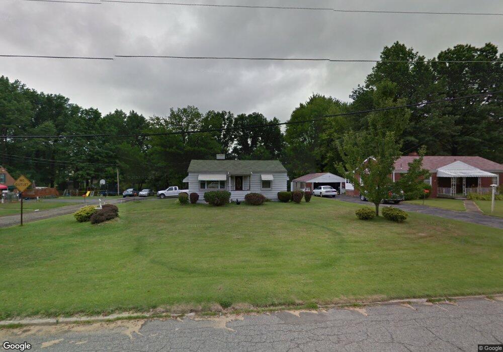
5360 Baker St Youngstown, OH 44515
Austintown NeighborhoodEstimated Value: $106,292 - $146,000
2
Beds
1
Bath
660
Sq Ft
$193/Sq Ft
Est. Value
About This Home
This home is located at 5360 Baker St, Youngstown, OH 44515 and is currently estimated at $127,573, approximately $193 per square foot. 5360 Baker St is a home located in Mahoning County with nearby schools including Austintown Elementary School, Austintown Intermediate School, and Austintown Middle School.
Ownership History
Date
Name
Owned For
Owner Type
Purchase Details
Closed on
Mar 21, 2000
Sold by
Mahoning County Sheriff
Bought by
Federal National Mortgage Association
Current Estimated Value
Purchase Details
Closed on
Feb 29, 1996
Sold by
Sharpe Betty
Bought by
Heitzer Timothy P
Home Financials for this Owner
Home Financials are based on the most recent Mortgage that was taken out on this home.
Original Mortgage
$58,200
Interest Rate
7.07%
Mortgage Type
New Conventional
Purchase Details
Closed on
Jan 4, 1990
Bought by
Heitzer Timothy P
Create a Home Valuation Report for This Property
The Home Valuation Report is an in-depth analysis detailing your home's value as well as a comparison with similar homes in the area
Home Values in the Area
Average Home Value in this Area
Purchase History
| Date | Buyer | Sale Price | Title Company |
|---|---|---|---|
| Federal National Mortgage Association | $42,000 | -- | |
| Heitzer Timothy P | $59,000 | -- | |
| Heitzer Timothy P | $35,000 | -- |
Source: Public Records
Mortgage History
| Date | Status | Borrower | Loan Amount |
|---|---|---|---|
| Previous Owner | Heitzer Timothy P | $58,200 |
Source: Public Records
Tax History
| Year | Tax Paid | Tax Assessment Tax Assessment Total Assessment is a certain percentage of the fair market value that is determined by local assessors to be the total taxable value of land and additions on the property. | Land | Improvement |
|---|---|---|---|---|
| 2025 | $1,272 | $26,130 | $6,000 | $20,130 |
| 2024 | $1,218 | $26,130 | $6,000 | $20,130 |
| 2023 | $1,194 | $26,130 | $6,000 | $20,130 |
| 2022 | $1,012 | $17,740 | $6,000 | $11,740 |
| 2021 | $1,014 | $17,740 | $6,000 | $11,740 |
| 2020 | $1,017 | $17,740 | $6,000 | $11,740 |
| 2019 | $1,029 | $16,120 | $6,000 | $10,120 |
| 2018 | $991 | $16,120 | $6,000 | $10,120 |
| 2017 | $1,023 | $16,120 | $6,000 | $10,120 |
| 2016 | $1,072 | $17,560 | $6,000 | $11,560 |
| 2015 | $1,040 | $17,560 | $6,000 | $11,560 |
| 2014 | $1,044 | $17,560 | $6,000 | $11,560 |
| 2013 | $1,032 | $17,560 | $6,000 | $11,560 |
Source: Public Records
Map
Nearby Homes
- 3794-3796 Mahoning Ave
- 0 Norquest Blvd Unit 5175953
- 0 Norquest Blvd Unit 5175593
- 111 Ohltown Rd
- 159 N Canfield Niles Rd
- 148 Marcia Dr
- 176 N Canfield Niles Rd
- 125 Fitch Blvd Unit 235
- 125 Fitch Blvd Unit 201
- 5560 Madrid Dr
- 5109 W Elmwood Ave
- 238 Aldrich Rd
- 111 Fitch Blvd
- 5604 Colgate Ave
- 5640 Baylor Ave
- 285 Aldrich Rd
- 5664 Colgate Ave
- 5633 London Dr
- 5630 Stanford Ave
- 325 S Inglewood Ave