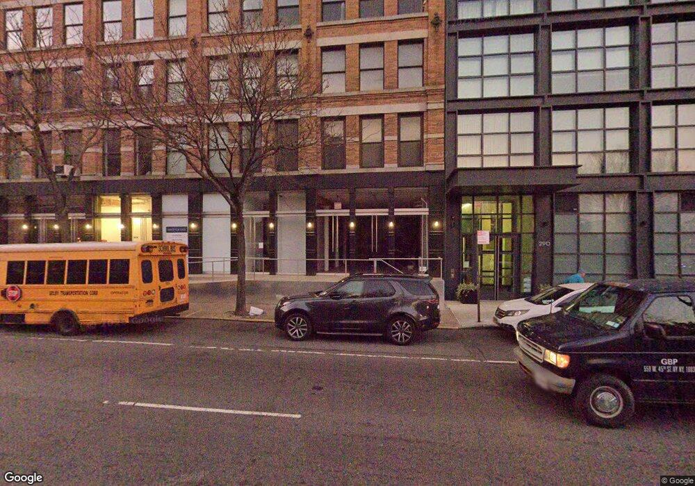
536I Canal St New York, NY 10013
Tribeca NeighborhoodEstimated Value: $918,000
--
Bed
--
Bath
538
Sq Ft
$1,706/Sq Ft
Est. Value
About This Home
This home is located at 536I Canal St, New York, NY 10013 and is currently priced at $918,000, approximately $1,706 per square foot. 536I Canal St is a home located in New York County with nearby schools including P.S. 234 Independence School, Middle School 297, and Clinton School.
Ownership History
Date
Name
Owned For
Owner Type
Purchase Details
Closed on
May 2, 2012
Sold by
Exxonmobil Foundation
Bought by
290 West Ve Llc
Current Estimated Value
Home Financials for this Owner
Home Financials are based on the most recent Mortgage that was taken out on this home.
Original Mortgage
$13,860,000
Outstanding Balance
$9,652,295
Interest Rate
4.01%
Mortgage Type
Purchase Money Mortgage
Purchase Details
Closed on
Apr 21, 2010
Sold by
Exxonmobil Oil Corporation
Bought by
Exxonmobil Foundation
Create a Home Valuation Report for This Property
The Home Valuation Report is an in-depth analysis detailing your home's value as well as a comparison with similar homes in the area
Home Values in the Area
Average Home Value in this Area
Purchase History
| Date | Buyer | Sale Price | Title Company |
|---|---|---|---|
| 290 West Ve Llc | $15,461,600 | -- | |
| Exxonmobil Foundation | -- | -- |
Source: Public Records
Mortgage History
| Date | Status | Borrower | Loan Amount |
|---|---|---|---|
| Open | 290 West Ve Llc | $13,860,000 | |
| Closed | 290 West Ve Llc | $22,140,000 |
Source: Public Records
Tax History Compared to Growth
Tax History
| Year | Tax Paid | Tax Assessment Tax Assessment Total Assessment is a certain percentage of the fair market value that is determined by local assessors to be the total taxable value of land and additions on the property. | Land | Improvement |
|---|---|---|---|---|
| 2025 | $3,155 | $35,910 | $35,910 | -- |
| 2024 | $3,155 | $29,790 | $45,000 | $0 |
| 2023 | $2,597 | $24,390 | $24,390 | $0 |
| 2022 | $2,246 | $26,550 | $26,550 | $0 |
| 2021 | $2,031 | $22,950 | $22,950 | $0 |
| 2020 | $1,856 | $19,800 | $19,800 | $0 |
| 2019 | $1,718 | $18,000 | $18,000 | $0 |
| 2018 | $1,670 | $17,100 | $17,100 | $0 |
| 2017 | $1,584 | $17,100 | $17,100 | $0 |
| 2016 | $1,469 | $16,092 | $16,092 | $0 |
| 2015 | $671 | $13,410 | $13,410 | $0 |
| 2014 | $671 | $15,750 | $15,750 | $0 |
Source: Public Records
Map
Nearby Homes
- 290 West St Unit 3A
- 290 West St Unit 2B
- 288 West St Unit PH
- 471 Washington St
- 471 Washington St Unit THB
- 466 Washington St Unit 4E
- 477 Washington St Unit 4
- 533 Canal St Unit 4
- 450 Washington St Unit 522
- 450 Washington St Unit 202
- 450 Washington St Unit 809
- 450 Washington St Unit 705
- 450 Washington St Unit 709
- 450 Washington St Unit 1109
- 450 Washington St Unit 205
- 450 Washington St Unit 211
- 475 Greenwich St Unit 3C
- 475 Greenwich St Unit 5B
- 472 Greenwich St Unit 6
- 330 Spring St Unit 7C
- 288 West St Unit 289
- 288 West St
- 288 West St Unit 2E
- 288 West St Unit 6W
- 288 West St Unit 8
- 288 West St Unit 3E
- 288 West St Unit 6E
- 288 West St Unit 6W/5W
- 288 West St Unit 5E
- 288 West St Unit 2W
- 288 West St Unit 5W
- 288 West St Unit 7E
- 288 West St Unit 4-E
- 288 West St Unit 7W
- 288 West St Unit 3W
- 288 West St Unit 4W
- 530-536 Canal St
- 288-289 West St
- 466-470 Washington St
- 530 Canal St Unit 536