Estimated Value: $467,000 - $644,000
4
Beds
2
Baths
2,236
Sq Ft
$246/Sq Ft
Est. Value
About This Home
This home is located at 537 Barnard Hill Rd, Weare, NH 03281 and is currently estimated at $550,070, approximately $246 per square foot. 537 Barnard Hill Rd is a home located in Hillsborough County with nearby schools including Center Woods Elementary School, Weare Middle School, and John Stark Regional High School.
Ownership History
Date
Name
Owned For
Owner Type
Purchase Details
Closed on
Jan 7, 2020
Sold by
Weil Richard T and Weil Deborah A
Bought by
Weil Ft
Current Estimated Value
Purchase Details
Closed on
Jul 2, 1998
Sold by
Hansen Howard C
Bought by
Weil Richard T and Weil Deborah A
Home Financials for this Owner
Home Financials are based on the most recent Mortgage that was taken out on this home.
Original Mortgage
$60,000
Interest Rate
7.04%
Create a Home Valuation Report for This Property
The Home Valuation Report is an in-depth analysis detailing your home's value as well as a comparison with similar homes in the area
Home Values in the Area
Average Home Value in this Area
Purchase History
| Date | Buyer | Sale Price | Title Company |
|---|---|---|---|
| Weil Ft | -- | None Available | |
| Weil Richard T | $155,000 | -- |
Source: Public Records
Mortgage History
| Date | Status | Borrower | Loan Amount |
|---|---|---|---|
| Previous Owner | Weil Richard T | $20,000 | |
| Previous Owner | Weil Richard T | $25,000 | |
| Previous Owner | Weil Richard T | $60,000 |
Source: Public Records
Tax History Compared to Growth
Tax History
| Year | Tax Paid | Tax Assessment Tax Assessment Total Assessment is a certain percentage of the fair market value that is determined by local assessors to be the total taxable value of land and additions on the property. | Land | Improvement |
|---|---|---|---|---|
| 2024 | $7,822 | $383,600 | $122,600 | $261,000 |
| 2023 | $7,227 | $383,600 | $122,600 | $261,000 |
| 2022 | $6,675 | $383,600 | $122,600 | $261,000 |
| 2021 | $6,598 | $383,600 | $122,600 | $261,000 |
| 2020 | $6,476 | $270,400 | $91,900 | $178,500 |
| 2019 | $6,411 | $270,400 | $91,900 | $178,500 |
| 2018 | $6,227 | $270,400 | $91,900 | $178,500 |
| 2016 | $6,049 | $270,400 | $91,900 | $178,500 |
| 2015 | $5,784 | $258,100 | $80,200 | $177,900 |
| 2014 | $5,732 | $258,100 | $80,200 | $177,900 |
| 2013 | $5,701 | $262,100 | $80,200 | $181,900 |
Source: Public Records
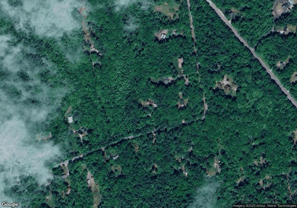
Map
Nearby Homes
- 849 River Rd
- 0 Huntington Hill Rd Unit 69
- 3 Stephanie Rd
- 624 S Stark Hwy
- 103 Renshaw Rd
- 174 S Stark Hwy Unit 13
- 174 S Stark Hwy Unit 1
- 174 S Stark Hwy Unit 23
- 10 Sap House Rd
- 77 Gould Rd
- 93 Daniels Rd
- 1003 School St
- 15 Robert Rogers Rd
- 22 Fairway Dr
- 0 Fairway Dr Unit 11
- 49 Stark Hwy N
- 57 Lyndsey Ln
- 0 Als Dr Unit 196
- 196 Deering Center Rd
- 78 Rangeway Rd
- 575 Barnard Hill Rd
- 549 Barnard Hill Rd
- 579 Barnard Hill Rd
- 550 Barnard Hill Rd
- 516 Barnard Hill Rd
- 0 Horse Spring Hill Unit 4682643
- 0 Horse Spring Hill Unit 4647690
- 0 Horse Spring Hill Unit 4217419
- 0 Horse Spring Hill Unit 4217434
- 0 Horse Spring Hill Rd Unit 168 4953532
- 0 Horse Spring Hill Rd Unit 168 4929710
- 0 Horse Spring Hill Rd Unit 168 4865667
- 0 Horse Spring Hill Rd
- 589 Barnard Hill Rd
- 566 Barnard Hill Rd
- 521 Barnard Hill Rd
- 511 Barnard Hill Rd
- 562 Barnard Hill Rd
- 534 Barnard Hill Rd
- 501 Barnard Hill Rd