537 Rock Rd Stockbridge, GA 30281
Estimated Value: $234,000 - $279,000
3
Beds
1
Bath
1,405
Sq Ft
$183/Sq Ft
Est. Value
About This Home
This home is located at 537 Rock Rd, Stockbridge, GA 30281 and is currently estimated at $256,981, approximately $182 per square foot. 537 Rock Rd is a home located in Henry County with nearby schools including Austin Road Elementary School, Austin Road Middle School, and Woodland High School.
Ownership History
Date
Name
Owned For
Owner Type
Purchase Details
Closed on
Oct 27, 2022
Sold by
Arrendale Robert
Bought by
Arrendale Robert S and Arrendale Angela L
Current Estimated Value
Purchase Details
Closed on
Sep 29, 2017
Sold by
Willingham Lessie E
Bought by
Arrendale Robert
Home Financials for this Owner
Home Financials are based on the most recent Mortgage that was taken out on this home.
Original Mortgage
$138,446
Interest Rate
5.12%
Mortgage Type
FHA
Create a Home Valuation Report for This Property
The Home Valuation Report is an in-depth analysis detailing your home's value as well as a comparison with similar homes in the area
Home Values in the Area
Average Home Value in this Area
Purchase History
| Date | Buyer | Sale Price | Title Company |
|---|---|---|---|
| Arrendale Robert S | -- | -- | |
| Arrendale Robert | $141,000 | -- |
Source: Public Records
Mortgage History
| Date | Status | Borrower | Loan Amount |
|---|---|---|---|
| Previous Owner | Arrendale Robert | $138,446 |
Source: Public Records
Tax History Compared to Growth
Tax History
| Year | Tax Paid | Tax Assessment Tax Assessment Total Assessment is a certain percentage of the fair market value that is determined by local assessors to be the total taxable value of land and additions on the property. | Land | Improvement |
|---|---|---|---|---|
| 2025 | $2,781 | $112,040 | $16,560 | $95,480 |
| 2024 | $2,781 | $115,520 | $14,920 | $100,600 |
| 2023 | $2,169 | $101,400 | $14,360 | $87,040 |
| 2022 | $2,252 | $83,520 | $13,240 | $70,280 |
| 2021 | $1,871 | $67,400 | $11,360 | $56,040 |
| 2020 | $1,695 | $59,960 | $10,720 | $49,240 |
| 2019 | $1,605 | $56,120 | $10,160 | $45,960 |
| 2018 | $1,471 | $50,480 | $9,400 | $41,080 |
| 2016 | $304 | $32,920 | $7,560 | $25,360 |
| 2015 | -- | $28,080 | $8,480 | $19,600 |
| 2014 | -- | $25,920 | $8,480 | $17,440 |
Source: Public Records
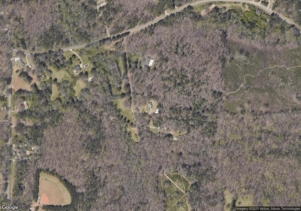
Map
Nearby Homes
- 25 Mendy Ln
- 80 Sandy Dr
- 6733 Highway 155 N
- 0 Flat Shoals Church Rd Unit 10642485
- 0 Flat Shoals Church Rd Unit 10642435
- 0 Flat Shoals Church Rd Unit 10642461
- 1110 Estates Ct
- 106 Garden Trail
- 6079 Highway 155 N
- 203 Farmbrook Pkwy
- 130 Fairview Dr
- 176 Fairoaks Cir
- 5335 E Fairview Rd SW
- 5155 E Fairview Rd SW
- 222 Farmbrook Pkwy
- 509 Tall Pines Ct
- 231 Sorrow Rd
- 226 Farmbrook Pkwy
- 510 Ward Rd Unit 1
- 460 Ward Rd